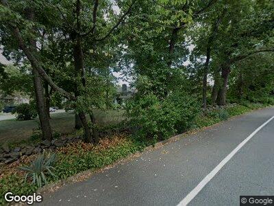
603 Northside Dr Wilmington, DE 19809
Estimated Value: $459,000 - $557,000
3
Beds
3
Baths
2,769
Sq Ft
$185/Sq Ft
Est. Value
About This Home
This home is located at 603 Northside Dr, Wilmington, DE 19809 and is currently estimated at $511,831, approximately $184 per square foot. 603 Northside Dr is a home located in New Castle County with nearby schools including Carrcroft Elementary School, Pierre S. Dupont Middle School, and Mount Pleasant High School.
Ownership History
Date
Name
Owned For
Owner Type
Purchase Details
Closed on
Jan 26, 2006
Sold by
Thies Jon N and Thies Tara E
Bought by
Bowser William W and Bowser Maureen F
Current Estimated Value
Home Financials for this Owner
Home Financials are based on the most recent Mortgage that was taken out on this home.
Original Mortgage
$320,000
Interest Rate
6.34%
Mortgage Type
Fannie Mae Freddie Mac
Create a Home Valuation Report for This Property
The Home Valuation Report is an in-depth analysis detailing your home's value as well as a comparison with similar homes in the area
Home Values in the Area
Average Home Value in this Area
Purchase History
| Date | Buyer | Sale Price | Title Company |
|---|---|---|---|
| Bowser William W | $400,000 | None Available |
Source: Public Records
Mortgage History
| Date | Status | Borrower | Loan Amount |
|---|---|---|---|
| Open | Bowser William W | $80,000 | |
| Open | Bowser William W | $285,000 | |
| Closed | Bowser William W | $75,000 | |
| Closed | Bowser William W | $320,000 | |
| Closed | Thies Jon N | $127,260 |
Source: Public Records
Tax History Compared to Growth
Tax History
| Year | Tax Paid | Tax Assessment Tax Assessment Total Assessment is a certain percentage of the fair market value that is determined by local assessors to be the total taxable value of land and additions on the property. | Land | Improvement |
|---|---|---|---|---|
| 2024 | $3,207 | $97,400 | $19,200 | $78,200 |
| 2023 | $3,388 | $97,400 | $19,200 | $78,200 |
| 2022 | $3,446 | $97,400 | $19,200 | $78,200 |
| 2021 | $3,445 | $97,400 | $19,200 | $78,200 |
| 2020 | $3,446 | $97,400 | $19,200 | $78,200 |
| 2019 | $3,917 | $97,400 | $19,200 | $78,200 |
| 2018 | $3,293 | $97,400 | $19,200 | $78,200 |
| 2017 | $3,042 | $97,400 | $19,200 | $78,200 |
| 2016 | $3,040 | $91,400 | $19,200 | $72,200 |
| 2015 | $2,797 | $91,400 | $19,200 | $72,200 |
| 2014 | $2,796 | $91,400 | $19,200 | $72,200 |
Source: Public Records
Map
Nearby Homes
- 507 Wyndham Rd
- 23 Gristmill Ct
- 3 Corinne Ct
- 405 N Lynn Dr
- 7 Rodman Rd
- 409 S Lynn Dr
- 1105 Talley Rd
- 4660 Malden Dr
- 306 Springhill Ave
- 201 1/2 Philadelphia Pike Unit 108
- 201 1/2 Philadelphia Pike Unit 212
- 308 Chestnut Ave
- 4662 Dartmoor Dr
- 3203 Heather Ct
- 0 Bell Hill Rd
- 708 Haines Ave
- 414 Brentwood Dr
- 913 Elizabeth Ave
- 1016 Euclid Ave
- 4601 Big Rock Dr
- 603 Northside Dr
- 604 Brighton Rd
- 605 Northside Dr
- 602 Northside Dr
- 604 Northside Dr
- 606 Brighton Rd
- 606 Northside Dr
- 5005 Washington Street Extension
- 5104 Washington Street Extension
- 5100 Washington Street Extension
- 5100 Washington St
- 5100 Washington Street Extension
- 607 Northside Dr
- 603 Brighton Rd
- 610 Northside Dr
- 605 Brighton Rd
- 607 Brighton Rd
- 524 Brighton Rd
- 526 Brighton Rd
- 610 Brighton Rd
