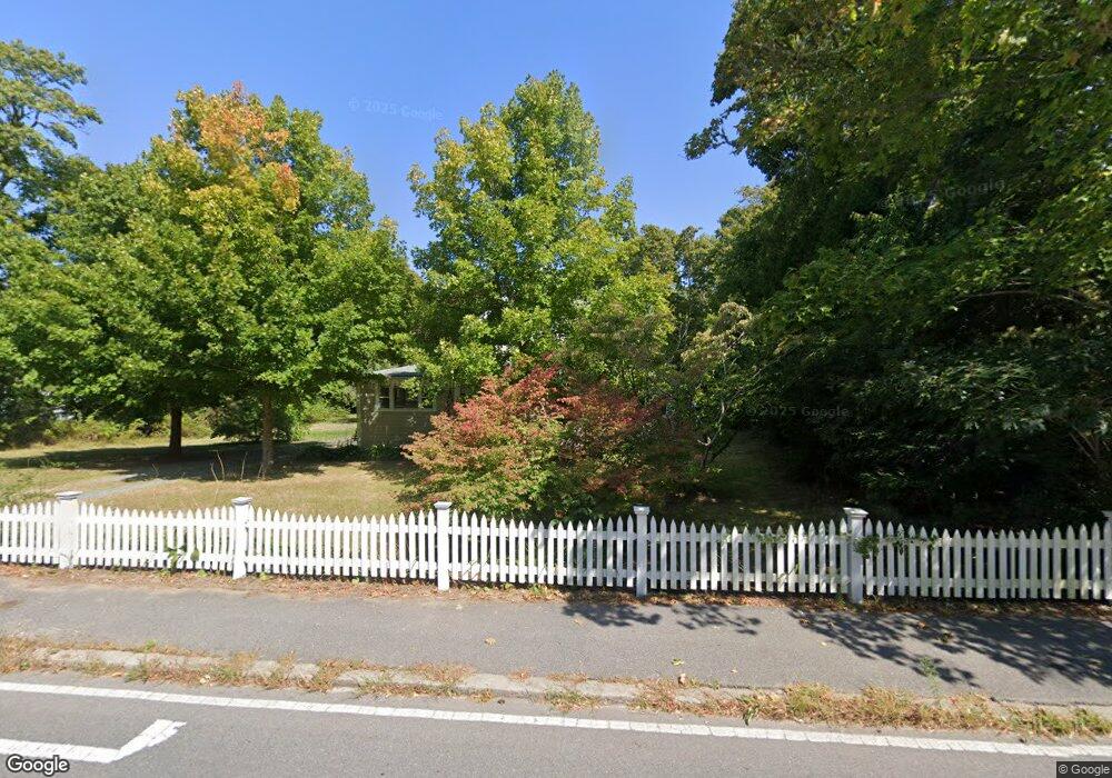
604 Main St Cotuit, MA 02635
Cotuit NeighborhoodEstimated Value: $853,000 - $998,000
4
Beds
3
Baths
1,794
Sq Ft
$508/Sq Ft
Est. Value
About This Home
This home is located at 604 Main St, Cotuit, MA 02635 and is currently estimated at $911,747, approximately $508 per square foot. 604 Main St is a home located in Barnstable County with nearby schools including West Villages Elementary School, Barnstable United Elementary School, and Barnstable Intermediate School.
Create a Home Valuation Report for This Property
The Home Valuation Report is an in-depth analysis detailing your home's value as well as a comparison with similar homes in the area
Home Values in the Area
Average Home Value in this Area
Tax History
We collect this data history from publicly available records. To have your information removed, we recommend requesting removal directly through your county’s website.
| Year | Tax Paid | Tax Assessment Tax Assessment Total Assessment is a certain percentage of the fair market value that is determined by local assessors to be the total taxable value of land and additions on the property. | Land | Improvement |
|---|---|---|---|---|
| 2025 | $6,128 | $733,900 | $345,000 | $388,900 |
| 2024 | $5,783 | $733,900 | $345,000 | $388,900 |
| 2023 | $5,307 | $634,000 | $320,800 | $313,200 |
| 2022 | $4,987 | $482,300 | $221,800 | $260,500 |
| 2021 | $5,085 | $460,600 | $242,900 | $217,700 |
| 2020 | $5,117 | $437,000 | $242,900 | $194,100 |
| 2019 | $5,066 | $426,400 | $253,500 | $172,900 |
| 2018 | $4,683 | $394,200 | $255,700 | $138,500 |
| 2017 | $4,635 | $392,800 | $255,700 | $137,100 |
| 2016 | $4,550 | $395,300 | $258,200 | $137,100 |
| 2015 | $4,780 | $414,900 | $252,900 | $162,000 |
Source: Public Records
Map
Nearby Homes
- 552 Main St
- 535 Main St
- 134 School St
- 33 Oyster Place Rd
- 7 Oxford Dr
- 205 Little River Rd
- 107 Abbey Gate Rd
- 174 Little River Rd
- 994 Main St
- 75 Trout Brook Rd
- 1089 Main St
- 30 Wings Ln
- 1081 Main St
- 359 Santuit Rd
- 359 Santuit Rd
- 399 Santuit Rd
- 80 Roosevelt Rd
- 120 Ocean View Ave
- 131 Dunrobin Rd
- 13 Cedar St
Your Personal Tour Guide
Ask me questions while you tour the home.