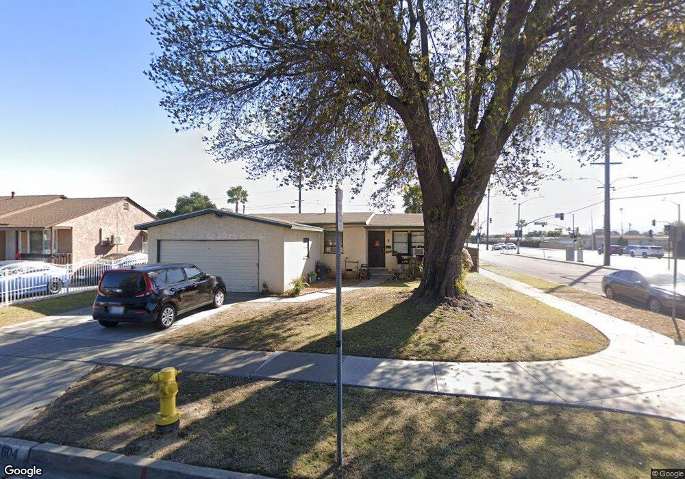
604 Rama Dr La Puente, CA 91746
Estimated Value: $716,730 - $762,000
3
Beds
2
Baths
1,027
Sq Ft
$727/Sq Ft
Est. Value
About This Home
This home is located at 604 Rama Dr, La Puente, CA 91746 and is currently estimated at $746,683, approximately $727 per square foot. 604 Rama Dr is a home located in Los Angeles County with nearby schools including Lassalette Middle School, La Puente High School, and St. Louis of France School.
Ownership History
Date
Name
Owned For
Owner Type
Purchase Details
Closed on
Apr 27, 2009
Sold by
The Dorothy M Stark Irrevocable Living T
Bought by
Cisneros Carlos
Current Estimated Value
Home Financials for this Owner
Home Financials are based on the most recent Mortgage that was taken out on this home.
Original Mortgage
$279,837
Interest Rate
4.82%
Mortgage Type
FHA
Purchase Details
Closed on
Sep 11, 2008
Sold by
Stark Dorothy M
Bought by
Stark Dorothy M and The Dorothy M Stark Revocable Living Tr
Create a Home Valuation Report for This Property
The Home Valuation Report is an in-depth analysis detailing your home's value as well as a comparison with similar homes in the area
Home Values in the Area
Average Home Value in this Area
Purchase History
| Date | Buyer | Sale Price | Title Company |
|---|---|---|---|
| Cisneros Carlos | $285,000 | Fidelity National Title Co | |
| Stark Dorothy M | -- | None Available |
Source: Public Records
Mortgage History
| Date | Status | Borrower | Loan Amount |
|---|---|---|---|
| Previous Owner | Cisneros Carlos | $279,837 |
Source: Public Records
Tax History
| Year | Tax Paid | Tax Assessment Tax Assessment Total Assessment is a certain percentage of the fair market value that is determined by local assessors to be the total taxable value of land and additions on the property. | Land | Improvement |
|---|---|---|---|---|
| 2025 | $4,722 | $366,994 | $238,227 | $128,767 |
| 2024 | $4,722 | $359,799 | $233,556 | $126,243 |
| 2023 | $4,604 | $352,745 | $228,977 | $123,768 |
| 2022 | $4,472 | $345,830 | $224,488 | $121,342 |
| 2021 | $4,394 | $339,050 | $220,087 | $118,963 |
| 2019 | $4,271 | $328,996 | $213,560 | $115,436 |
| 2018 | $4,132 | $322,546 | $209,373 | $113,173 |
| 2016 | $3,837 | $310,023 | $201,244 | $108,779 |
| 2015 | $3,766 | $305,368 | $198,222 | $107,146 |
| 2014 | $3,709 | $299,388 | $194,340 | $105,048 |
Source: Public Records
Map
Nearby Homes
- 433 Sunkist Ave
- 544 N Orange Ave Unit B
- 14309 Beckner St
- 436 Willow Ave
- 13947 Giordano St
- 335 Willow Ave
- 736 Tonopah Ave
- 14612 Hutchcroft St
- 1020 League Ave
- 14129 Ragus St
- 14641 Lassalette St
- 13434 Hutchcroft St
- 320 S 5th Ave
- 13833 Fairgrove Ave
- 1003 Le Borgne Ave
- 13802 Cagliero St
- 1528 W Delvale St
- 1042 Vineland Ave
- 13540 Valley Blvd
- 357 Cadbrook Dr