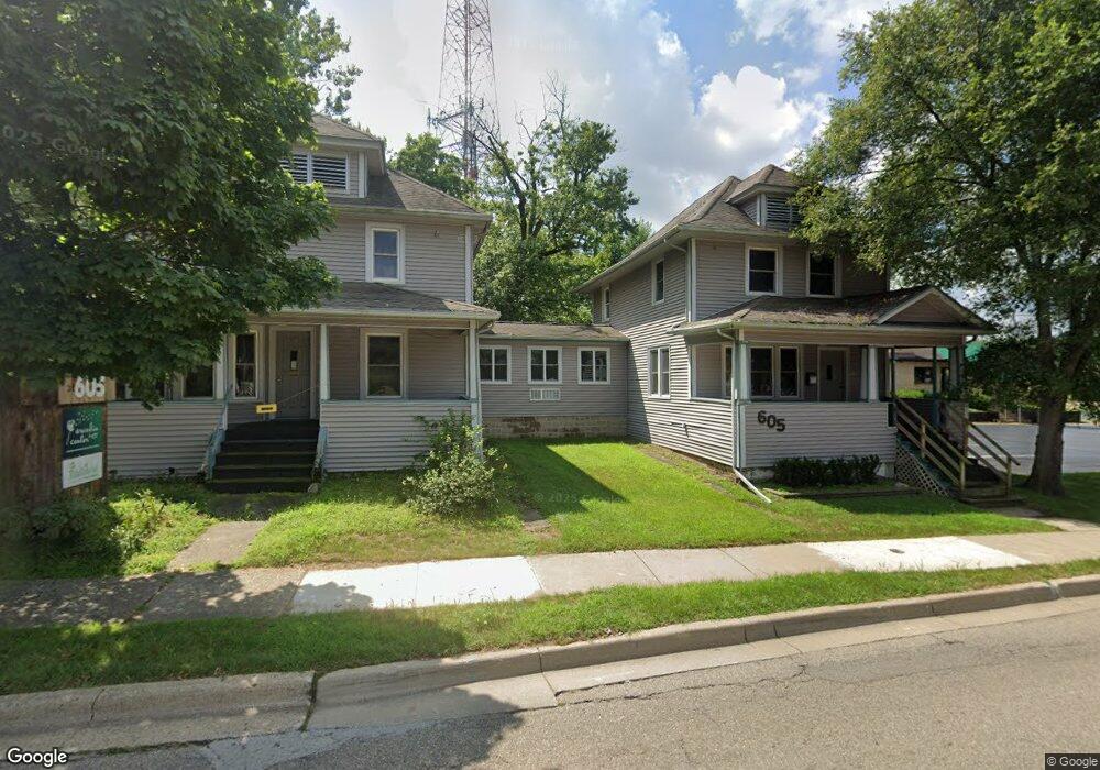
605 Howard St Kalamazoo, MI 49008
Westnedge Hill NeighborhoodEstimated Value: $174,000
--
Bed
1
Bath
3,302
Sq Ft
$53/Sq Ft
Est. Value
About This Home
This home is located at 605 Howard St, Kalamazoo, MI 49008 and is currently priced at $174,000, approximately $52 per square foot. 605 Howard St is a home located in Kalamazoo County with nearby schools including Woods Lake Elementary School, Maple Street Magnet School for the Arts, and Loy Norrix High School.
Ownership History
Date
Name
Owned For
Owner Type
Purchase Details
Closed on
Mar 4, 2016
Sold by
605 Howard Llc
Bought by
Horton Bierema Properties Llc
Current Estimated Value
Home Financials for this Owner
Home Financials are based on the most recent Mortgage that was taken out on this home.
Original Mortgage
$132,000
Outstanding Balance
$104,477
Interest Rate
3.65%
Mortgage Type
Commercial
Purchase Details
Closed on
Jul 12, 2006
Sold by
Big Brothers Big Sisters
Bought by
605 Howard Llc
Create a Home Valuation Report for This Property
The Home Valuation Report is an in-depth analysis detailing your home's value as well as a comparison with similar homes in the area
Home Values in the Area
Average Home Value in this Area
Purchase History
| Date | Buyer | Sale Price | Title Company |
|---|---|---|---|
| Horton Bierema Properties Llc | -- | Devon Title Company | |
| 605 Howard Llc | $164,900 | Chicago Title |
Source: Public Records
Mortgage History
| Date | Status | Borrower | Loan Amount |
|---|---|---|---|
| Open | Horton Bierema Properties Llc | $132,000 |
Source: Public Records
Tax History Compared to Growth
Tax History
| Year | Tax Paid | Tax Assessment Tax Assessment Total Assessment is a certain percentage of the fair market value that is determined by local assessors to be the total taxable value of land and additions on the property. | Land | Improvement |
|---|---|---|---|---|
| 2025 | $5,049 | $98,000 | $0 | $0 |
| 2024 | $2,092 | $94,100 | $0 | $0 |
| 2023 | $1,994 | $95,300 | $0 | $0 |
| 2022 | $4,579 | $103,500 | $0 | $0 |
| 2021 | $4,429 | $87,800 | $0 | $0 |
| 2020 | $4,345 | $83,700 | $0 | $0 |
| 2019 | $4,185 | $72,300 | $0 | $0 |
| 2018 | $4,088 | $63,100 | $0 | $0 |
| 2017 | $4,046 | $59,300 | $0 | $0 |
| 2016 | $4,046 | $58,300 | $0 | $0 |
| 2015 | $4,046 | $58,400 | $0 | $0 |
| 2014 | $4,046 | $56,800 | $0 | $0 |
Source: Public Records
Map
Nearby Homes
- 529 Forest St
- 617 Forest St
- 2313 S Westnedge Ave
- 2307 Crane Ave
- 1850 S Burdick St
- 435 Skirrow Place
- 617 Wheaton Ave
- 723 Wheaton Ave
- 2338 Glenwood Dr
- 1108 Merrill St
- 1813, 1817 S Westnedge Ave
- 1817 S Westnedge Ave
- 1813 S Westnedge Ave
- 1018 Oak St
- 141 Reed Ave
- 1009 Oak St
- 806 Wheaton Ave
- 10000 State St Unit Bus & ALL RE
- 1219 W Maple St
- 2340 Springhill Dr
- 525 Howard St
- 528 Howard St
- 519 Howard St
- 575 W Crosstown Pkwy Unit 2
- 575 W Crosstown Pkwy Unit Op Room
- 575 W Crosstown Pkwy Unit 1
- 515 Howard St
- 513 Howard St
- 522 Howard St
- 601 W Crosstown Pkwy
- 1804 S Westnedge Ave Unit 2
- 1804 S Westnedge Ave
- 1804 S Westnedge Ave Unit 1
- 1820 S Westnedge Ave
- 1718 S Westnedge Ave
- 1710 S Westnedge Ave
- 710 Howard St
- 1830 S Westnedge Ave
- 643 W Crosstown Pkwy
- 618 W Crosstown Pkwy