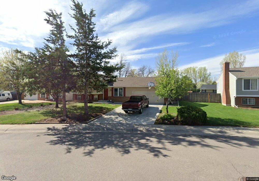
606 Zuni Cir Fort Collins, CO 80526
Woodwest NeighborhoodEstimated Value: $534,057 - $582,000
4
Beds
3
Baths
2,128
Sq Ft
$258/Sq Ft
Est. Value
About This Home
This home is located at 606 Zuni Cir, Fort Collins, CO 80526 and is currently estimated at $548,764, approximately $257 per square foot. 606 Zuni Cir is a home located in Larimer County with nearby schools including Beattie Elementary School, Blevins Middle School, and Rocky Mountain High School.
Ownership History
Date
Name
Owned For
Owner Type
Purchase Details
Closed on
Aug 10, 2010
Sold by
Crecca Stephanie S and Crecca Andrew M
Bought by
Crecca Stephanie S and Crecca Andrew M
Current Estimated Value
Home Financials for this Owner
Home Financials are based on the most recent Mortgage that was taken out on this home.
Original Mortgage
$138,450
Interest Rate
4.05%
Mortgage Type
New Conventional
Purchase Details
Closed on
Mar 22, 2002
Sold by
Norris David E and Norris Theresa J
Bought by
Fox Stephanie S and Crecca Andrew M
Home Financials for this Owner
Home Financials are based on the most recent Mortgage that was taken out on this home.
Original Mortgage
$151,100
Interest Rate
6.87%
Purchase Details
Closed on
Jun 1, 1990
Bought by
Norris David E and Norris Theresa J
Create a Home Valuation Report for This Property
The Home Valuation Report is an in-depth analysis detailing your home's value as well as a comparison with similar homes in the area
Home Values in the Area
Average Home Value in this Area
Purchase History
| Date | Buyer | Sale Price | Title Company |
|---|---|---|---|
| Crecca Stephanie S | -- | Land Title Guarantee Company | |
| Fox Stephanie S | $188,900 | -- | |
| Norris David E | $80,000 | -- |
Source: Public Records
Mortgage History
| Date | Status | Borrower | Loan Amount |
|---|---|---|---|
| Closed | Crecca Stephanie S | $138,450 | |
| Closed | Fox Stephanie S | $151,100 |
Source: Public Records
Tax History Compared to Growth
Tax History
| Year | Tax Paid | Tax Assessment Tax Assessment Total Assessment is a certain percentage of the fair market value that is determined by local assessors to be the total taxable value of land and additions on the property. | Land | Improvement |
|---|---|---|---|---|
| 2025 | $3,060 | $35,577 | $3,015 | $32,562 |
| 2024 | $2,912 | $35,577 | $3,015 | $32,562 |
| 2022 | $2,498 | $26,459 | $3,128 | $23,331 |
| 2021 | $2,525 | $27,221 | $3,218 | $24,003 |
| 2020 | $2,437 | $26,048 | $3,218 | $22,830 |
| 2019 | $2,448 | $26,048 | $3,218 | $22,830 |
| 2018 | $2,182 | $23,940 | $3,240 | $20,700 |
| 2017 | $2,174 | $23,940 | $3,240 | $20,700 |
| 2016 | $1,821 | $19,948 | $3,582 | $16,366 |
| 2015 | $1,808 | $19,950 | $3,580 | $16,370 |
| 2014 | $1,644 | $18,020 | $3,580 | $14,440 |
Source: Public Records
Map
Nearby Homes
- 630 Homestead Ct
- 3113 Colony Dr
- 600 Republic Dr
- 431 W Swallow Rd
- 3151 Worthington Ave
- 2918 Rocky Mountain Ct
- 3440 Windmill Dr Unit 5-2
- 3440 Windmill Dr Unit 3-4
- 3378 Gunnison Dr
- 3036 Rustic Ct
- 720 Arbor Ave Unit 6
- 3565 Windmill Dr Unit 1
- 3565 Windmill Dr Unit N3
- 814 Arbor Ave Unit C
- 3106 Lymen St
- 1115 W Swallow Rd Unit 20
- 2716 Ringneck Dr
- 812 Coronado Ave
- 1213 W Swallow Rd Unit 213
- 1231 W Swallow Rd Unit 323