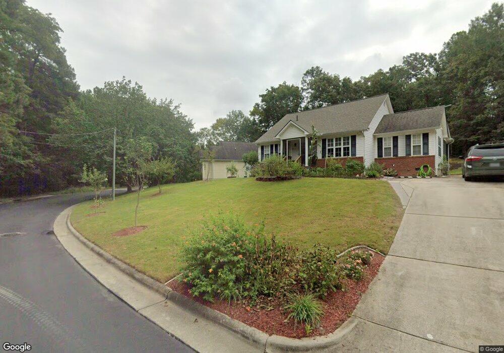
607 Sybil Dr Durham, NC 27703
Eastern Durham NeighborhoodEstimated Value: $219,000 - $283,000
3
Beds
2
Baths
1,250
Sq Ft
$212/Sq Ft
Est. Value
About This Home
This home is located at 607 Sybil Dr, Durham, NC 27703 and is currently estimated at $264,859, approximately $211 per square foot. 607 Sybil Dr is a home located in Durham County with nearby schools including Bethesda Elementary School, John W Neal Middle School, and Southern School of Energy & Sustainability.
Ownership History
Date
Name
Owned For
Owner Type
Purchase Details
Closed on
Jan 4, 1999
Sold by
Project Development Management Llc
Bought by
Cherry Gloria Y
Current Estimated Value
Home Financials for this Owner
Home Financials are based on the most recent Mortgage that was taken out on this home.
Original Mortgage
$105,846
Outstanding Balance
$24,783
Interest Rate
6.87%
Mortgage Type
FHA
Estimated Equity
$240,076
Create a Home Valuation Report for This Property
The Home Valuation Report is an in-depth analysis detailing your home's value as well as a comparison with similar homes in the area
Home Values in the Area
Average Home Value in this Area
Purchase History
| Date | Buyer | Sale Price | Title Company |
|---|---|---|---|
| Cherry Gloria Y | $106,000 | -- |
Source: Public Records
Mortgage History
| Date | Status | Borrower | Loan Amount |
|---|---|---|---|
| Open | Cherry Gloria Y | $105,846 |
Source: Public Records
Tax History
| Year | Tax Paid | Tax Assessment Tax Assessment Total Assessment is a certain percentage of the fair market value that is determined by local assessors to be the total taxable value of land and additions on the property. | Land | Improvement |
|---|---|---|---|---|
| 2025 | $2,625 | $264,853 | $89,063 | $175,790 |
| 2024 | $1,690 | $142,688 | $23,674 | $119,014 |
| 2023 | $1,869 | $142,688 | $23,674 | $119,014 |
| 2022 | $1,826 | $142,688 | $23,674 | $119,014 |
| 2021 | $1,818 | $142,688 | $23,674 | $119,014 |
| 2020 | $1,775 | $142,688 | $23,674 | $119,014 |
| 2019 | $1,775 | $142,688 | $23,674 | $119,014 |
| 2018 | $1,521 | $112,102 | $18,690 | $93,412 |
| 2017 | $1,509 | $112,102 | $18,690 | $93,412 |
| 2016 | $1,459 | $112,102 | $18,690 | $93,412 |
| 2015 | $1,710 | $123,551 | $19,455 | $104,096 |
| 2014 | $1,710 | $123,551 | $19,455 | $104,096 |
Source: Public Records
Map
Nearby Homes
- 426 Walton St
- 428 Walton St
- 509 Walton St
- 404 Lynn Rd
- 806 Lindley Dr
- 202 Lynn Rd
- 818 Lynn Rd
- 3563 Carr Rd
- 3004 Cathy Dr
- 3111 Ivey Wood Ln
- 207 S Adams St
- 3211 Ivey Wood Ln
- 15 Red Sunset Ln
- 106 S Adams St
- 110 N Woodcrest St
- 102 Harvest Oaks Ln Unit 38
- 125 E End Ave
- 3033 Fenimore St
- 1218 Kendall Dr
- 339 Kilarney Dr
Your Personal Tour Guide
Ask me questions while you tour the home.