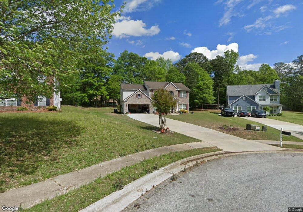
608 Penstock Path Hampton, GA 30228
Estimated Value: $333,077 - $365,000
4
Beds
3
Baths
2,706
Sq Ft
$130/Sq Ft
Est. Value
About This Home
This home is located at 608 Penstock Path, Hampton, GA 30228 and is currently estimated at $351,769, approximately $129 per square foot. 608 Penstock Path is a home located in Henry County with nearby schools including Mount Carmel Elementary School, Hampton Middle School, and Hampton High School.
Ownership History
Date
Name
Owned For
Owner Type
Purchase Details
Closed on
Oct 12, 2007
Sold by
Knight Grp Inc
Bought by
Walton Michelle
Current Estimated Value
Home Financials for this Owner
Home Financials are based on the most recent Mortgage that was taken out on this home.
Original Mortgage
$206,511
Outstanding Balance
$130,472
Interest Rate
6.44%
Mortgage Type
FHA
Estimated Equity
$221,297
Create a Home Valuation Report for This Property
The Home Valuation Report is an in-depth analysis detailing your home's value as well as a comparison with similar homes in the area
Home Values in the Area
Average Home Value in this Area
Purchase History
| Date | Buyer | Sale Price | Title Company |
|---|---|---|---|
| Walton Michelle | $208,200 | -- |
Source: Public Records
Mortgage History
| Date | Status | Borrower | Loan Amount |
|---|---|---|---|
| Open | Walton Michelle | $206,511 |
Source: Public Records
Tax History
| Year | Tax Paid | Tax Assessment Tax Assessment Total Assessment is a certain percentage of the fair market value that is determined by local assessors to be the total taxable value of land and additions on the property. | Land | Improvement |
|---|---|---|---|---|
| 2025 | $3,784 | $139,040 | $16,000 | $123,040 |
| 2024 | $3,784 | $135,200 | $16,000 | $119,200 |
| 2023 | $3,428 | $127,320 | $14,000 | $113,320 |
| 2022 | $3,384 | $104,080 | $14,000 | $90,080 |
| 2021 | $3,089 | $91,600 | $14,000 | $77,600 |
| 2020 | $2,874 | $82,480 | $10,000 | $72,480 |
| 2019 | $2,447 | $69,080 | $10,000 | $59,080 |
| 2018 | $2,500 | $70,480 | $10,000 | $60,480 |
| 2016 | $2,270 | $64,480 | $8,600 | $55,880 |
| 2015 | $2,126 | $59,320 | $8,600 | $50,720 |
| 2014 | $2,163 | $59,720 | $8,000 | $51,720 |
Source: Public Records
Map
Nearby Homes
- 80 Knolls Ridge
- 417 Ryoaks Dr
- 220 Windpher Ridge
- 208 Deodar Ln
- 1438 Highway 3 N
- 1209 Pendley Point
- 1200 Pendley Point
- 260 Sandstone Dr
- 120 Bridgemill Dr
- 417 Sawmill Trace
- 248 Fern Ct
- 446 Sawmill Trace
- 116 Cabin Way
- 120 Cabin Way
- 101 River View Ct
- 269 Makenna Dr
- 2025 Elm Grove Ln
- 230 Norfolk Dr
- 120 Caldwell Dr
- 55 Porter Cir
- 612 Penstock Path
- 604 Penstock Path
- 600 Penstock Path
- 180 Fears Dr
- 616 Penstock Path
- 176 Fears Dr
- 601 Penstock Path
- 609 Penstock Path
- 131 Canyons Ct
- 605 Penstock Path
- 121 Canyons Ct
- 172 Fears Dr
- 141 Canyons Ct
- 151 Canyons Ct
- 101 Canyons Ct
- 705 Winesap Ct
- 719 Winesap Ct
- 168 Fears Dr
- 91 Canyons Ct
- 700 Winesap Ct
Your Personal Tour Guide
Ask me questions while you tour the home.