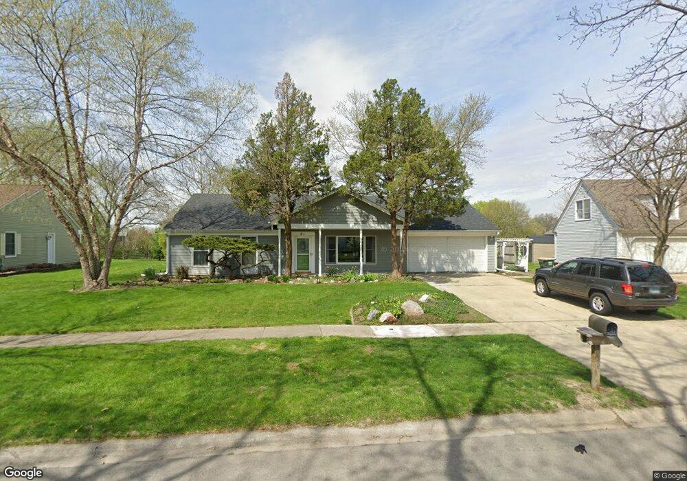
61 Brock Way Oswego, IL 60543
Boulder Hill NeighborhoodEstimated Value: $327,000 - $369,000
3
Beds
2
Baths
1,800
Sq Ft
$195/Sq Ft
Est. Value
About This Home
This home is located at 61 Brock Way, Oswego, IL 60543 and is currently estimated at $350,374, approximately $194 per square foot. 61 Brock Way is a home located in Kendall County with nearby schools including Old Post Elementary School, Thompson Jr. High School, and Oswego High School.
Ownership History
Date
Name
Owned For
Owner Type
Purchase Details
Closed on
Mar 9, 2019
Sold by
Danielle J Ebersole Revocable Trust
Bought by
Delatorre Jeronimo Balingit and Delatorre Erlinda A
Current Estimated Value
Home Financials for this Owner
Home Financials are based on the most recent Mortgage that was taken out on this home.
Original Mortgage
$220,924
Outstanding Balance
$194,621
Interest Rate
4.5%
Mortgage Type
FHA
Estimated Equity
$155,753
Purchase Details
Closed on
Jun 19, 2003
Sold by
Ebersole Eric R and Ebersole Danielle J
Bought by
Ebersole Eric R and Ebersole Danielle J
Create a Home Valuation Report for This Property
The Home Valuation Report is an in-depth analysis detailing your home's value as well as a comparison with similar homes in the area
Home Values in the Area
Average Home Value in this Area
Purchase History
| Date | Buyer | Sale Price | Title Company |
|---|---|---|---|
| Delatorre Jeronimo Balingit | $225,000 | First American Title | |
| Ebersole Eric R | -- | Chicago Title Insurance Co |
Source: Public Records
Mortgage History
| Date | Status | Borrower | Loan Amount |
|---|---|---|---|
| Open | Delatorre Jeronimo Balingit | $220,924 |
Source: Public Records
Tax History Compared to Growth
Tax History
| Year | Tax Paid | Tax Assessment Tax Assessment Total Assessment is a certain percentage of the fair market value that is determined by local assessors to be the total taxable value of land and additions on the property. | Land | Improvement |
|---|---|---|---|---|
| 2024 | $6,864 | $91,302 | $28,012 | $63,290 |
| 2023 | $6,939 | $88,643 | $27,196 | $61,447 |
| 2022 | $6,939 | $82,844 | $25,417 | $57,427 |
| 2021 | $6,683 | $77,424 | $23,754 | $53,670 |
| 2020 | $6,467 | $74,446 | $22,840 | $51,606 |
| 2019 | $6,380 | $72,461 | $22,840 | $49,621 |
| 2018 | $5,315 | $66,120 | $20,841 | $45,279 |
| 2017 | $5,120 | $60,940 | $19,208 | $41,732 |
| 2016 | $4,671 | $55,908 | $17,622 | $38,286 |
| 2015 | $2,224 | $51,767 | $16,317 | $35,450 |
| 2014 | -- | $49,776 | $15,689 | $34,087 |
| 2013 | -- | $52,396 | $16,515 | $35,881 |
Source: Public Records
Map
Nearby Homes
- 38 Ashlawn Ave
- 22 Sherwick Rd
- 9 Cebold Dr
- 4 Circle Ct
- 40 Codorus Rd
- 47 Old Post Rd
- 10 Crofton Rd
- 3 Orchard Rd
- 123 Orchard Rd
- 2 Orchard Rd
- 141 River Mist Dr
- 156 River Mist Dr
- 1415 State Route 31
- 39 Cayman Dr
- 2110 State Route 31
- 3 Scarsdale Rd
- 2300 Light Rd Unit 209
- 7.43 Acres Vacant La State Route 31
- 2600 Light Rd Unit 210
- 119 Garden Dr