61 Pond Rd Wilton, CT 06897
Estimated Value: $1,531,000 - $1,616,000
3
Beds
3
Baths
3,520
Sq Ft
$449/Sq Ft
Est. Value
About This Home
This home is located at 61 Pond Rd, Wilton, CT 06897 and is currently estimated at $1,582,118, approximately $449 per square foot. 61 Pond Rd is a home located in Fairfield County with nearby schools including Miller-Driscoll School, Cider Mill School, and Middlebrook School.
Ownership History
Date
Name
Owned For
Owner Type
Purchase Details
Closed on
Oct 25, 2004
Sold by
Bartoszek Raymond J and Bartoszek Christina
Bought by
Buisson Joel and Buisson Dawn E
Current Estimated Value
Home Financials for this Owner
Home Financials are based on the most recent Mortgage that was taken out on this home.
Original Mortgage
$650,000
Interest Rate
5.85%
Purchase Details
Closed on
Mar 24, 1994
Sold by
Stoll Elliott and Stoll Vivian
Bought by
Okeefe Paul and Okeefe Pat
Create a Home Valuation Report for This Property
The Home Valuation Report is an in-depth analysis detailing your home's value as well as a comparison with similar homes in the area
Home Values in the Area
Average Home Value in this Area
Purchase History
| Date | Buyer | Sale Price | Title Company |
|---|---|---|---|
| Buisson Joel | $1,069,000 | -- | |
| Okeefe Paul | $425,000 | -- |
Source: Public Records
Mortgage History
| Date | Status | Borrower | Loan Amount |
|---|---|---|---|
| Open | Okeefe Paul | $530,450 | |
| Closed | Okeefe Paul | $650,000 | |
| Previous Owner | Okeefe Paul | $200,000 | |
| Previous Owner | Okeefe Paul | $300,000 |
Source: Public Records
Tax History Compared to Growth
Tax History
| Year | Tax Paid | Tax Assessment Tax Assessment Total Assessment is a certain percentage of the fair market value that is determined by local assessors to be the total taxable value of land and additions on the property. | Land | Improvement |
|---|---|---|---|---|
| 2025 | $18,620 | $762,790 | $315,840 | $446,950 |
| 2024 | $18,261 | $762,790 | $315,840 | $446,950 |
| 2023 | $15,927 | $544,320 | $301,980 | $242,340 |
| 2022 | $15,366 | $544,320 | $301,980 | $242,340 |
| 2021 | $15,170 | $544,320 | $301,980 | $242,340 |
| 2020 | $14,947 | $544,320 | $301,980 | $242,340 |
| 2019 | $15,535 | $544,320 | $301,980 | $242,340 |
| 2018 | $16,175 | $573,790 | $317,240 | $256,550 |
| 2017 | $15,934 | $573,790 | $317,240 | $256,550 |
| 2016 | $15,687 | $573,790 | $317,240 | $256,550 |
| 2015 | $15,395 | $573,790 | $317,240 | $256,550 |
| 2014 | $15,211 | $573,790 | $317,240 | $256,550 |
Source: Public Records
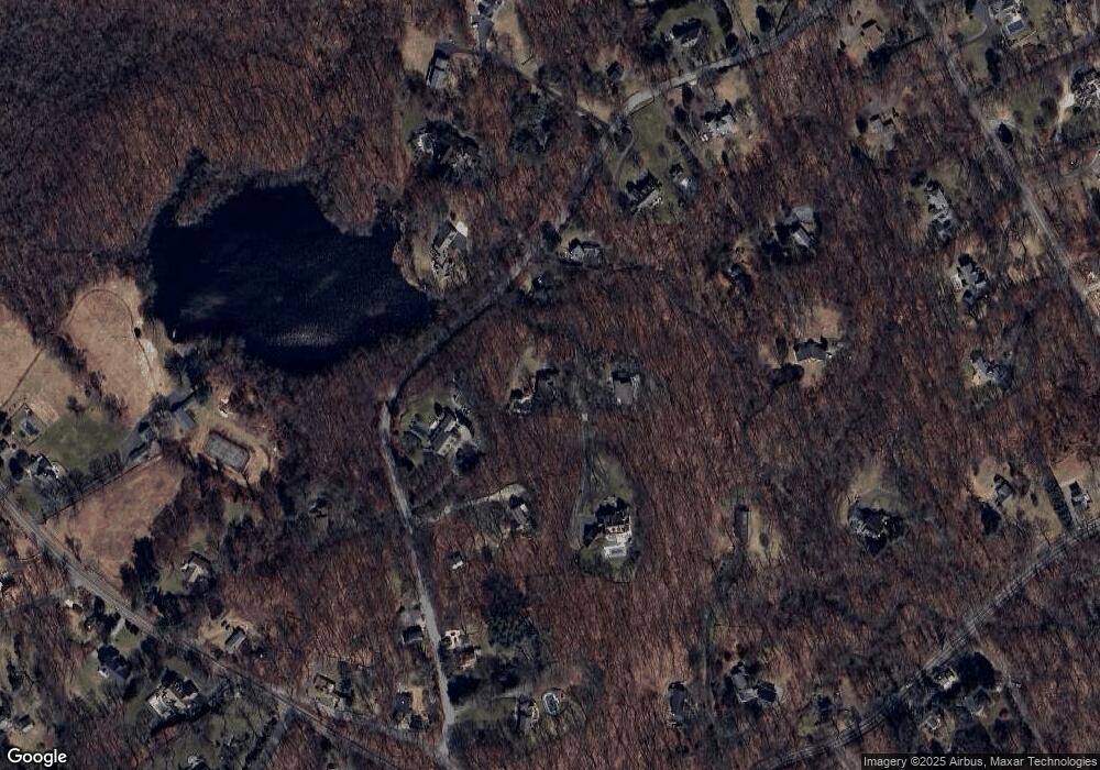
Map
Nearby Homes
- 76 Sturges Ridge Rd
- 55 Liberty St
- 41 Calvin Rd
- 185 Sturges Ridge Rd
- 30 Coley Rd
- 110 Dudley Rd
- 93 E Meadow Rd
- 10 Wilton Hunt Rd
- 8 Hedgerow Common
- 81 Norfield Rd
- 335 Georgetown Rd
- 326 Georgetown Rd
- 20 Wilton Crest Unit 20
- 84 Wilton Crest Rd Unit 84
- 32 Kettle Creek Rd
- 36 Wilton Crest Unit 36
- 4 Trails End Rd
- 15 River Rd Unit STE 210
- 193 Newtown Turnpike
- 52 Glen Ridge