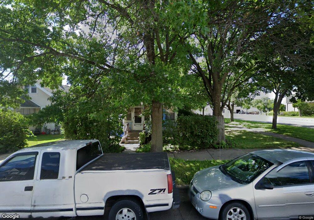
610 Burgess St Saint Paul, MN 55103
North End NeighborhoodEstimated Value: $168,009 - $259,000
2
Beds
1
Bath
993
Sq Ft
$214/Sq Ft
Est. Value
About This Home
This home is located at 610 Burgess St, Saint Paul, MN 55103 and is currently estimated at $212,502, approximately $214 per square foot. 610 Burgess St is a home located in Ramsey County with nearby schools including Como Park Elementary School, Murray Middle School, and Como Park Senior High School.
Ownership History
Date
Name
Owned For
Owner Type
Purchase Details
Closed on
Jun 16, 2011
Sold by
Inter Savings Bank
Bought by
Vanchau
Current Estimated Value
Purchase Details
Closed on
Jul 30, 2001
Sold by
Cook Robert N
Bought by
Analeda Analia L
Purchase Details
Closed on
Apr 30, 1996
Sold by
Piemeisl Wayne C
Bought by
Cook Robert N
Create a Home Valuation Report for This Property
The Home Valuation Report is an in-depth analysis detailing your home's value as well as a comparison with similar homes in the area
Home Values in the Area
Average Home Value in this Area
Purchase History
| Date | Buyer | Sale Price | Title Company |
|---|---|---|---|
| Vanchau | $33,000 | -- | |
| Analeda Analia L | $99,320 | -- | |
| Cook Robert N | $39,900 | -- | |
| Cook Robert N | $39,900 | -- |
Source: Public Records
Mortgage History
| Date | Status | Borrower | Loan Amount |
|---|---|---|---|
| Closed | Cook Robert N | -- |
Source: Public Records
Tax History Compared to Growth
Tax History
| Year | Tax Paid | Tax Assessment Tax Assessment Total Assessment is a certain percentage of the fair market value that is determined by local assessors to be the total taxable value of land and additions on the property. | Land | Improvement |
|---|---|---|---|---|
| 2025 | $2,192 | $144,100 | $25,000 | $119,100 |
| 2023 | $2,192 | $134,500 | $20,000 | $114,500 |
| 2022 | $1,638 | $116,900 | $20,000 | $96,900 |
| 2021 | $1,748 | $97,000 | $20,000 | $77,000 |
| 2020 | $1,554 | $107,900 | $13,800 | $94,100 |
| 2019 | $1,548 | $88,700 | $13,800 | $74,900 |
| 2018 | $1,178 | $87,200 | $13,800 | $73,400 |
| 2017 | $1,012 | $67,100 | $13,800 | $53,300 |
| 2016 | $906 | $0 | $0 | $0 |
| 2015 | $357 | $51,700 | $13,800 | $37,900 |
| 2014 | $852 | $0 | $0 | $0 |
Source: Public Records
Map
Nearby Homes
- 552 Burgess St
- 352 Como Ave
- 569 Hatch Ave
- 705 Como Ave
- 1049 Kent St
- 631 Van Buren Ave
- 1063 Dale St N
- 740 Como Ave
- 646 Van Buren Ave
- 511 Van Buren Ave
- 553 Blair Ave
- 547 Blair Ave
- 632 Blair Ave
- 751 Van Buren Ave
- 956 Western Ave N
- 1104 MacKubin St
- 359 Stinson St W
- 1040 Cumberland St
- 989 Barrett St
- 686 Lafond Ave
- 606 Burgess St
- 602 Burgess St
- 598 Burgess St
- 607 Topping St
- 603 Topping St
- 594 Burgess St
- 601 Topping St
- 601 Topping St Unit 1
- 601 Burgess St
- 586 Burgess St
- 920-926 Dale
- 595 Burgess St
- 903 Dale St N
- 591 Burgess St
- 907 Dale St N
- 576 Burgess St
- 587 Burgess St
- xxxx Xxxx Burgess St
- xxx Xxx Burgess St
- 639 639 MacKubin-street-