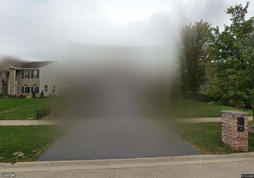
610 Carnation Dr Oswego, IL 60543
South Oswego NeighborhoodEstimated Value: $361,000 - $442,000
4
Beds
3
Baths
2,207
Sq Ft
$189/Sq Ft
Est. Value
About This Home
This home is located at 610 Carnation Dr, Oswego, IL 60543 and is currently estimated at $416,038, approximately $188 per square foot. 610 Carnation Dr is a home located in Kendall County with nearby schools including Prairie Point Elementary School, Traughber Junior High School, and Oswego High School.
Ownership History
Date
Name
Owned For
Owner Type
Purchase Details
Closed on
Sep 30, 1999
Sold by
Montalbano Builders Inc
Bought by
Davis Timothy B and Davis June K
Current Estimated Value
Home Financials for this Owner
Home Financials are based on the most recent Mortgage that was taken out on this home.
Original Mortgage
$185,532
Outstanding Balance
$56,448
Interest Rate
7.93%
Mortgage Type
FHA
Estimated Equity
$359,590
Create a Home Valuation Report for This Property
The Home Valuation Report is an in-depth analysis detailing your home's value as well as a comparison with similar homes in the area
Home Values in the Area
Average Home Value in this Area
Purchase History
| Date | Buyer | Sale Price | Title Company |
|---|---|---|---|
| Davis Timothy B | $187,000 | -- |
Source: Public Records
Mortgage History
| Date | Status | Borrower | Loan Amount |
|---|---|---|---|
| Open | Davis Timothy B | $185,532 |
Source: Public Records
Tax History
| Year | Tax Paid | Tax Assessment Tax Assessment Total Assessment is a certain percentage of the fair market value that is determined by local assessors to be the total taxable value of land and additions on the property. | Land | Improvement |
|---|---|---|---|---|
| 2024 | $9,353 | $122,227 | $25,607 | $96,620 |
| 2023 | $8,420 | $108,165 | $22,661 | $85,504 |
| 2022 | $8,420 | $99,234 | $20,790 | $78,444 |
| 2021 | $7,881 | $90,213 | $18,900 | $71,313 |
| 2020 | $7,553 | $85,917 | $18,000 | $67,917 |
| 2019 | $7,944 | $88,747 | $18,000 | $70,747 |
| 2018 | $7,889 | $86,788 | $17,413 | $69,375 |
| 2017 | $7,701 | $81,110 | $16,274 | $64,836 |
| 2016 | $7,373 | $76,882 | $15,426 | $61,456 |
| 2015 | $7,488 | $74,643 | $14,977 | $59,666 |
| 2014 | -- | $70,418 | $14,129 | $56,289 |
| 2013 | -- | $71,130 | $14,272 | $56,858 |
Source: Public Records
Map
Nearby Homes
- 711 Blossom Ct Unit 2
- 514 Danbury Dr Unit 4
- 539 Sudbury Cir
- 395 Danforth Dr
- 483 Deerfield Dr
- 482 Deerfield Dr
- 429 Prairieview Dr
- 371 S Madison St
- 668 Cumberland Ln
- 676 Cumberland Ln
- 851 Claridge Dr
- 673 Cumberland Ln
- 4215 Southerland Dr
- 770 Dartmouth Ln
- 777 Dartmouth Ln
- 114 Riverview Ct
- 268 S Adams St
- 206 E Washington St
- 875 Claridge Dr
- 204 Dorset Ave
- 612 Carnation Dr
- 608 Carnation Dr Unit 2
- 614 Carnation Dr
- 606 Carnation Dr
- 709 Blossom Ct
- 707 Blossom Ct
- 432 Terrace Ln Unit 2
- 705 Blossom Ct
- 616 Carnation Dr
- 265 Paradise Pkwy
- 609 Carnation Dr
- 802 Blossom Ln
- 713 Blossom Ct
- 430 Terrace Ln
- 703 Blossom Ct
- 607 Carnation Dr
- 804 Blossom Ln Unit 2
- 618 Carnation Dr Unit 2
- 263 Paradise Pkwy
- 428 Terrace Ln
Your Personal Tour Guide
Ask me questions while you tour the home.