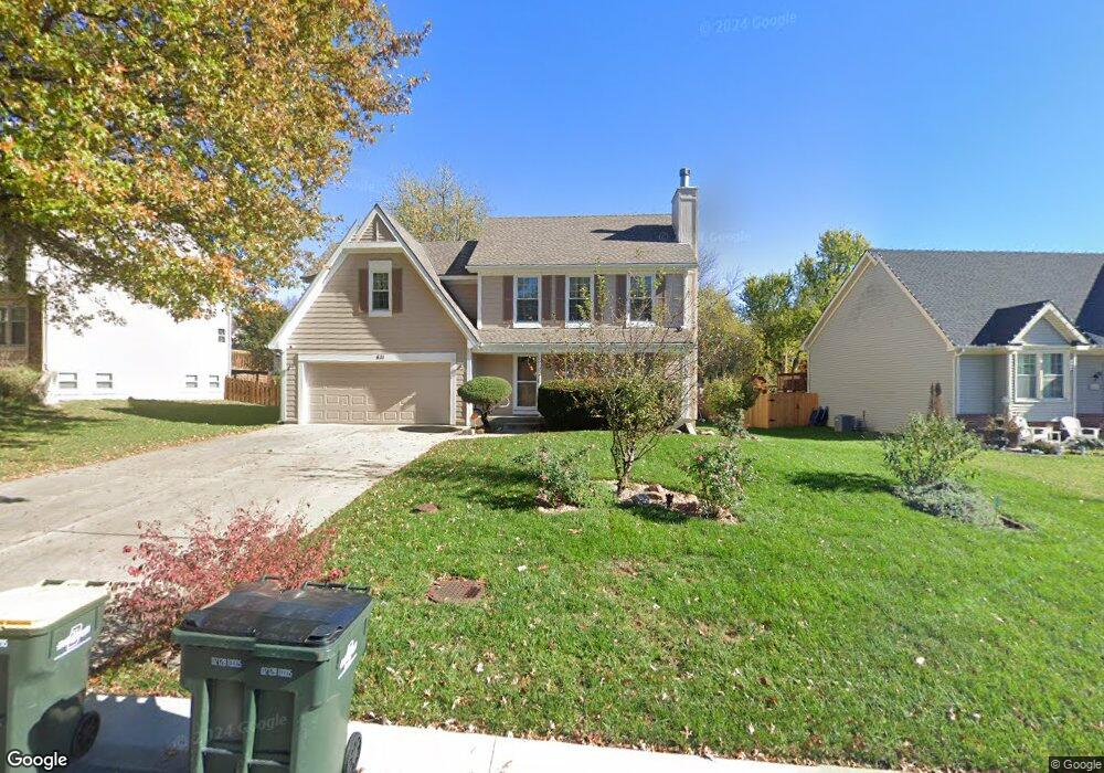
611 Bittersweet Rd Lansing, KS 66043
Estimated Value: $355,248 - $375,000
4
Beds
3
Baths
2,177
Sq Ft
$169/Sq Ft
Est. Value
About This Home
This home is located at 611 Bittersweet Rd, Lansing, KS 66043 and is currently estimated at $367,062, approximately $168 per square foot. 611 Bittersweet Rd is a home located in Leavenworth County with nearby schools including Lansing Elementary School, Lansing Middle 6-8, and Lansing High 9-12.
Ownership History
Date
Name
Owned For
Owner Type
Purchase Details
Closed on
May 9, 2019
Sold by
Walker Paul R and Walker Vicky J
Bought by
Walker Paul R and Walker Vicky J
Current Estimated Value
Purchase Details
Closed on
Jul 1, 1993
Bought by
Walker Paul R and Walker Vicky J
Home Financials for this Owner
Home Financials are based on the most recent Mortgage that was taken out on this home.
Original Mortgage
$74,750
Interest Rate
7.34%
Mortgage Type
New Conventional
Create a Home Valuation Report for This Property
The Home Valuation Report is an in-depth analysis detailing your home's value as well as a comparison with similar homes in the area
Home Values in the Area
Average Home Value in this Area
Purchase History
| Date | Buyer | Sale Price | Title Company |
|---|---|---|---|
| Walker Paul R | -- | None Listed On Document | |
| Walker Paul R | $131,500 | -- |
Source: Public Records
Mortgage History
| Date | Status | Borrower | Loan Amount |
|---|---|---|---|
| Previous Owner | Walker Paul R | $74,750 |
Source: Public Records
Tax History Compared to Growth
Tax History
| Year | Tax Paid | Tax Assessment Tax Assessment Total Assessment is a certain percentage of the fair market value that is determined by local assessors to be the total taxable value of land and additions on the property. | Land | Improvement |
|---|---|---|---|---|
| 2025 | $4,838 | $39,169 | $5,865 | $33,304 |
| 2024 | $4,838 | $37,663 | $4,646 | $33,017 |
| 2023 | $4,838 | $37,226 | $4,646 | $32,580 |
| 2022 | $4,308 | $33,373 | $3,572 | $29,801 |
| 2021 | $4,308 | $29,923 | $3,572 | $26,351 |
| 2020 | $4,079 | $27,888 | $3,572 | $24,316 |
| 2019 | $3,948 | $26,968 | $3,572 | $23,396 |
| 2018 | $3,517 | $24,071 | $2,958 | $21,113 |
| 2017 | $3,390 | $23,158 | $2,958 | $20,200 |
| 2016 | $3,312 | $22,621 | $2,958 | $19,663 |
| 2015 | $3,249 | $22,260 | $2,958 | $19,302 |
| 2014 | $3,089 | $21,620 | $2,958 | $18,662 |
Source: Public Records
Map
Nearby Homes
- 527 S Valley Dr
- 922 Southfork St
- 104 Olive St
- 811 4-H Rd
- 202 S Main St
- 124 S Main St
- 522 Forestglen Ln
- 20958 Ida St
- 218 E Kay St
- 546 Hithergreen Dr
- 129 Crestview Ct
- 306 E Kay St
- 866 Clearview Dr
- 310 E Kansas Ave
- 875 Clearview Dr
- 521 Hillbrook Dr
- 1221 S Desoto Rd
- 129 Brookwood St
- 1322 Rock Creek Ct
- 415 Fairlane St
- 613 S Bittersweet Ln
- 613 Bittersweet Rd
- 607 Bittersweet Rd
- 331 Sage Rd
- 619 Bittersweet Rd
- 333 Sage Rd
- 823 Blueberry St
- 821 Blueberry St
- 825 Blueberry St
- 612 Bittersweet Rd
- 335 Sage Rd
- 608 S Bittersweet Ln
- 614 Bittersweet Rd
- 608 Bittersweet Rd
- 621 Bittersweet Rd
- 618 Bittersweet Rd
- 827 Blueberry St
- 604 Bittersweet Rd
- 620 Bittersweet Rd
- 330 Sage Rd