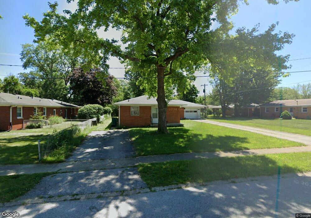
611 Brookside Ln Unit 613 Plainfield, IN 46168
Plainfield AreaEstimated Value: $150,000 - $255,000
About This Home
This home is located at 611 Brookside Ln Unit 613, Plainfield, IN 46168 and is currently estimated at $197,369, approximately $241 per square foot. 611 Brookside Ln Unit 613 is a home located in Hendricks County with nearby schools including Brentwood Elementary School, Plainfield Community Middle School, and Plainfield High School.
Ownership History
We collect this data history from publicly available records. To have your information removed, we recommend requesting removal directly through your county’s website.
Purchase Details
Home Financials for this Owner
Home Financials are based on the most recent Mortgage that was taken out on this home.Home Values in the Area
Average Home Value in this Area
Purchase History
We collect this data history from publicly available records. To have your information removed, we recommend requesting removal directly through your county’s website.
| Date | Buyer | Sale Price | Title Company |
|---|---|---|---|
| -- | Quality Title |
Mortgage History
We collect this data history from publicly available records. To have your information removed, we recommend requesting removal directly through your county’s website.
| Date | Status | Borrower | Loan Amount |
|---|---|---|---|
| Closed | $153,940 | ||
| Closed | $25,000 |
Tax History
We collect this data history from publicly available records. To have your information removed, we recommend requesting removal directly through your county’s website.
| Year | Tax Paid | Tax Assessment Tax Assessment Total Assessment is a certain percentage of the fair market value that is determined by local assessors to be the total taxable value of land and additions on the property. | Land | Improvement |
|---|---|---|---|---|
| 2025 | $2,182 | $200,200 | $50,000 | $150,200 |
| 2024 | $1,356 | $150,900 | $34,100 | $116,800 |
| 2023 | $1,374 | $146,700 | $32,500 | $114,200 |
| 2022 | $1,401 | $142,700 | $31,700 | $111,000 |
| 2021 | $1,334 | $132,300 | $31,700 | $100,600 |
| 2020 | $1,372 | $137,000 | $31,700 | $105,300 |
| 2019 | $1,357 | $132,700 | $29,500 | $103,200 |
| 2018 | $1,237 | $127,600 | $29,500 | $98,100 |
| 2017 | $1,348 | $135,300 | $37,600 | $97,700 |
| 2016 | $2,652 | $132,600 | $37,600 | $95,000 |
| 2014 | $1,300 | $129,700 | $35,100 | $94,600 |
Map
- 540 Wayside Ct
- 540 Wayside Ct
- 1645 Sycamore Dr
- 633 Kentucky Ave
- 518 Kentucky Ave
- 615 Simmons St
- 2668 Marjorie Ln
- 649 Elm Dr
- 214 Wayside Dr
- 312 S Carr Rd
- 931 Walton Dr
- 758 Stafford Rd
- 1176 Creekside Ln
- 14 Glenda Dr
- 16 Glenda Dr
- 906 Harlan St
- 1935 Gladden Rd
- 1435 Stanley Rd
- 501 Duffey St
- 2620 Albatross Ave
- 1553 W Raymond St
- 1555 Raymond St
- 1575 Hardin Ct
- 1571 Hardin Ct
- 538 Wayside Ct
- 610 Brookside Ln
- 1550 Raymond St
- 1567 Hardin Ct
- 1420 Denver Dr
- 534 Wayside Ct
- 541 Wayside Ct
- 1419 Raymond St
- 1558 Hardin Ct
- 1563 Hardin Ct
- 1416 Denver Dr
- 1420 Raymond St
- 529 Brookside Ln
- 1552 Hardin Ct
- 530 Wayside Ct
- 1421 Denver Dr
Ask me questions while you tour the home.