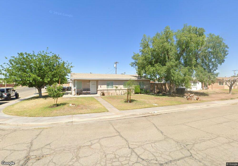
611 N 10th St Blythe, CA 92225
Estimated Value: $189,000 - $258,000
4
Beds
2
Baths
1,302
Sq Ft
$176/Sq Ft
Est. Value
About This Home
This home is located at 611 N 10th St, Blythe, CA 92225 and is currently estimated at $229,141, approximately $175 per square foot. 611 N 10th St is a home located in Riverside County with nearby schools including Palo Verde High School and Scale Leadership Academy - East.
Ownership History
Date
Name
Owned For
Owner Type
Purchase Details
Closed on
Aug 21, 2003
Sold by
Charlebois Brenda D and Price Brenda D
Bought by
Lonie Douglas and Lonie Kristel
Current Estimated Value
Home Financials for this Owner
Home Financials are based on the most recent Mortgage that was taken out on this home.
Original Mortgage
$76,000
Outstanding Balance
$39,432
Interest Rate
8.12%
Mortgage Type
Purchase Money Mortgage
Estimated Equity
$189,709
Purchase Details
Closed on
Nov 5, 1993
Sold by
Price Brenda D and Copeland Brenda Diane
Bought by
Price Brenda D
Home Financials for this Owner
Home Financials are based on the most recent Mortgage that was taken out on this home.
Original Mortgage
$51,000
Interest Rate
6.74%
Create a Home Valuation Report for This Property
The Home Valuation Report is an in-depth analysis detailing your home's value as well as a comparison with similar homes in the area
Home Values in the Area
Average Home Value in this Area
Purchase History
| Date | Buyer | Sale Price | Title Company |
|---|---|---|---|
| Lonie Douglas | $95,000 | First American Title Co | |
| Price Brenda D | -- | Fidelity National Title Insu |
Source: Public Records
Mortgage History
| Date | Status | Borrower | Loan Amount |
|---|---|---|---|
| Open | Lonie Douglas | $76,000 | |
| Previous Owner | Price Brenda D | $51,000 |
Source: Public Records
Tax History Compared to Growth
Tax History
| Year | Tax Paid | Tax Assessment Tax Assessment Total Assessment is a certain percentage of the fair market value that is determined by local assessors to be the total taxable value of land and additions on the property. | Land | Improvement |
|---|---|---|---|---|
| 2025 | $1,412 | $135,046 | $34,108 | $100,938 |
| 2023 | $1,412 | $129,804 | $32,785 | $97,019 |
| 2022 | $1,353 | $127,260 | $32,143 | $95,117 |
| 2021 | $1,316 | $124,765 | $31,513 | $93,252 |
| 2020 | $1,302 | $123,486 | $31,190 | $92,296 |
| 2019 | $1,289 | $121,066 | $30,579 | $90,487 |
| 2018 | $1,205 | $118,693 | $29,981 | $88,712 |
| 2017 | $1,179 | $116,367 | $29,394 | $86,973 |
| 2016 | $1,166 | $114,086 | $28,818 | $85,268 |
| 2015 | $1,154 | $112,374 | $28,386 | $83,988 |
| 2014 | $1,086 | $108,000 | $27,000 | $81,000 |
Source: Public Records
Map
Nearby Homes
- 630 N 10th St
- 1011 E California St
- 391 N 9th St
- 451 Tesoro Ln
- 370 N 9th St
- 660 N 6th St
- 361 N 9th St
- 340 N Sola Ave
- 610 E Chanslor Way
- 9 Acres N 7th St
- 521 N 5th St
- 301 N Sola Ave
- 460 Alameda St
- 951 E Avenue B
- 401 Sage Brush St
- 0 N 4th St
- 927 E Murphy St
- 784 Michelle St
- 0 Ranchette Rd Unit SW25043577
- 178 Acacia Ave
- 621 N 10th St
- 610 N 9th St
- 610 N Ninth St
- 631 N 10th St
- 620 N 9th St
- 1030 E Nevada St
- 610 N 10th St
- 1060 E Nevada St
- 1010 E Nevada St
- 620 N 10th St
- 630 N 9th St
- 641 N 10th St
- 1080 E Nevada St
- 640 N 9th St
- 640 N 10th St
- 651 N 10th St
- 980 E Nevada St
- 1021 E California St
- 1041 E California St
- 611 N 9th St