611 Tic Tac Mill Rd Morrison, TN 37357
Estimated Value: $322,000 - $619,000
--
Bed
3
Baths
1,920
Sq Ft
$223/Sq Ft
Est. Value
About This Home
This home is located at 611 Tic Tac Mill Rd, Morrison, TN 37357 and is currently estimated at $428,258, approximately $223 per square foot. 611 Tic Tac Mill Rd is a home located in Warren County with nearby schools including Morrison Elementary School and Warren County High School.
Ownership History
Date
Name
Owned For
Owner Type
Purchase Details
Closed on
Mar 3, 2015
Sold by
Robinson Lannie D Tonnya
Bought by
Robinson Lannie D & Tonnya Life Est Then To J
Current Estimated Value
Purchase Details
Closed on
Oct 30, 1979
Bought by
Robinson Lannie D and Robinson Tonnya
Purchase Details
Closed on
Jan 1, 1979
Purchase Details
Closed on
Dec 28, 1978
Create a Home Valuation Report for This Property
The Home Valuation Report is an in-depth analysis detailing your home's value as well as a comparison with similar homes in the area
Home Values in the Area
Average Home Value in this Area
Purchase History
| Date | Buyer | Sale Price | Title Company |
|---|---|---|---|
| Robinson Lannie D & Tonnya Life Est Then To J | -- | -- | |
| Robinson Lannie D | -- | -- | |
| -- | $13,700 | -- | |
| -- | -- | -- |
Source: Public Records
Tax History Compared to Growth
Tax History
| Year | Tax Paid | Tax Assessment Tax Assessment Total Assessment is a certain percentage of the fair market value that is determined by local assessors to be the total taxable value of land and additions on the property. | Land | Improvement |
|---|---|---|---|---|
| 2024 | $925 | $47,000 | $10,050 | $36,950 |
| 2023 | $925 | $47,000 | $10,050 | $36,950 |
| 2022 | $925 | $47,000 | $10,050 | $36,950 |
| 2021 | $925 | $47,000 | $10,050 | $36,950 |
| 2020 | $721 | $47,000 | $10,050 | $36,950 |
| 2019 | $824 | $36,675 | $8,625 | $28,050 |
| 2018 | $721 | $36,675 | $8,625 | $28,050 |
| 2017 | $721 | $36,675 | $8,625 | $28,050 |
| 2016 | $721 | $36,675 | $8,625 | $28,050 |
| 2015 | $732 | $36,675 | $8,625 | $28,050 |
| 2014 | $703 | $36,675 | $8,625 | $28,050 |
| 2013 | $703 | $35,216 | $0 | $0 |
Source: Public Records
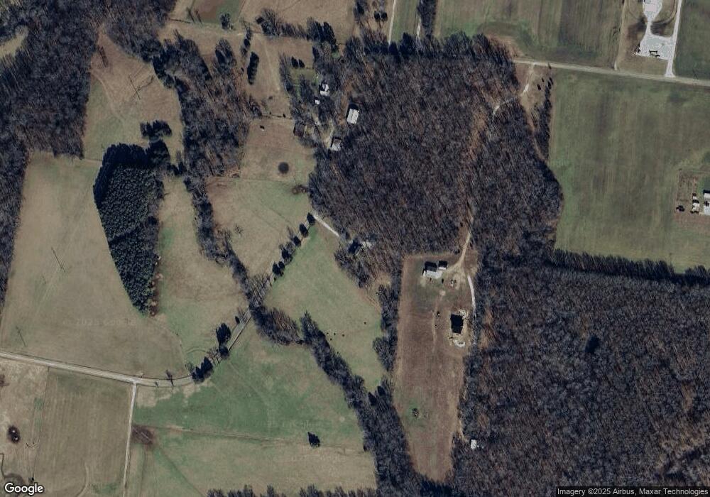
Map
Nearby Homes
- 0 Oak St
- 631 W Maple St
- 440 W Maple St
- 10157 Manchester Hwy
- 431 S Fair St
- 231 Tom Johnson Rd
- 511 N Main St
- 120 Boyd St
- 00 Marcrom Rd
- 0 Marcrom Rd
- 6579 Vervilla Rd
- 0 Nanny's Rd
- 0 Finger Bluff Rd
- 0 Ramsey Rd
- 1037 Mcafee Rd
- 0 Mcafee E Unit RTC2865293
- 7807 McMinnville Hwy Unit 7807
- 1694 Mcafee Rd
- 92 Hickory Grove Dr
- 2 Fountain Grove Rd