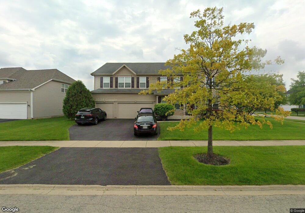
612 Mansfield Way Oswego, IL 60543
South Oswego NeighborhoodEstimated Value: $578,000 - $650,000
4
Beds
3
Baths
4,020
Sq Ft
$150/Sq Ft
Est. Value
About This Home
This home is located at 612 Mansfield Way, Oswego, IL 60543 and is currently estimated at $602,570, approximately $149 per square foot. 612 Mansfield Way is a home located in Kendall County with nearby schools including Southbury Elementary School, Traughber Junior High School, and Oswego High School.
Ownership History
Date
Name
Owned For
Owner Type
Purchase Details
Closed on
Jul 27, 2005
Sold by
Realen Homes Lp
Bought by
Lopez Guadalupe and Lopez Dolores
Current Estimated Value
Home Financials for this Owner
Home Financials are based on the most recent Mortgage that was taken out on this home.
Original Mortgage
$60,973
Outstanding Balance
$45,883
Interest Rate
5.69%
Mortgage Type
Credit Line Revolving
Estimated Equity
$556,687
Create a Home Valuation Report for This Property
The Home Valuation Report is an in-depth analysis detailing your home's value as well as a comparison with similar homes in the area
Home Values in the Area
Average Home Value in this Area
Purchase History
| Date | Buyer | Sale Price | Title Company |
|---|---|---|---|
| Lopez Guadalupe | $406,500 | -- |
Source: Public Records
Mortgage History
| Date | Status | Borrower | Loan Amount |
|---|---|---|---|
| Open | Lopez Guadalupe | $60,973 |
Source: Public Records
Tax History Compared to Growth
Tax History
| Year | Tax Paid | Tax Assessment Tax Assessment Total Assessment is a certain percentage of the fair market value that is determined by local assessors to be the total taxable value of land and additions on the property. | Land | Improvement |
|---|---|---|---|---|
| 2024 | $12,836 | $165,508 | $39,776 | $125,732 |
| 2023 | $11,710 | $145,182 | $34,891 | $110,291 |
| 2022 | $11,710 | $135,684 | $32,608 | $103,076 |
| 2021 | $10,980 | $123,349 | $29,644 | $93,705 |
| 2020 | $10,225 | $114,212 | $27,448 | $86,764 |
| 2019 | $10,557 | $115,983 | $27,448 | $88,535 |
| 2018 | $11,489 | $119,483 | $28,276 | $91,207 |
| 2017 | $11,634 | $119,483 | $28,276 | $91,207 |
| 2016 | $11,156 | $113,254 | $26,802 | $86,452 |
| 2015 | $11,225 | $108,898 | $25,771 | $83,127 |
| 2014 | -- | $102,734 | $24,312 | $78,422 |
| 2013 | -- | $102,734 | $24,312 | $78,422 |
Source: Public Records
Map
Nearby Homes
- 621 Mansfield Way
- 555 Litchfield Way
- 845 Preston Ln
- 403 Wilton Ct
- 215 Willington Way
- Essex Plan at Southbury
- Hudson Plan at Southbury
- Lyndale Plan at Southbury
- 856 Preston Ln
- 858 Preston Ln
- 860 Preston Ln
- 420 Bower Ln
- 704 Pomfret Ct
- 422 Bower Ln
- 703 Pomfret Ct
- 739 Alberta Ave
- 796 Colchester Dr
- 737 Alberta Ave
- 735 Alberta Ave
- 809 Canton Dr
- 614 Mansfield Way
- 707 Mansfield Ct
- 616 Mansfield Way
- 700 Mansfield Ct
- 702 Mansfield Ct
- 704 Mansfield Ct
- 617 Mansfield Way
- 615 Mansfield Way
- 618 Mansfield Way
- 709 Mansfield Ct
- 619 Mansfield Way
- 706 Mansfield Ct
- 613 Mansfield Way
- 606 Mansfield Way
- 620 Mansfield Way
- 623 Mansfield Way
- 708 Mansfield Ct
- 611 Mansfield Way
- 515 Litchfield Way
- 711 Mansfield Ct