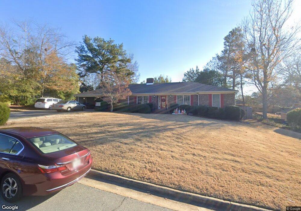
6122 Bristol Blvd Columbus, GA 31904
Estimated Value: $396,000 - $477,000
4
Beds
3
Baths
2,986
Sq Ft
$143/Sq Ft
Est. Value
About This Home
This home is located at 6122 Bristol Blvd, Columbus, GA 31904 and is currently estimated at $426,180, approximately $142 per square foot. 6122 Bristol Blvd is a home located in Muscogee County with nearby schools including River Road Elementary School, Double Churches Middle School, and Northside High School.
Ownership History
Date
Name
Owned For
Owner Type
Purchase Details
Closed on
Nov 1, 2012
Sold by
Fell George Michael
Bought by
Fell George Michael and Fell Alison P
Current Estimated Value
Home Financials for this Owner
Home Financials are based on the most recent Mortgage that was taken out on this home.
Original Mortgage
$197,700
Outstanding Balance
$33,806
Interest Rate
2.74%
Mortgage Type
New Conventional
Estimated Equity
$392,374
Purchase Details
Closed on
May 9, 2007
Sold by
Whitten William Allen and Whitten Anita M
Bought by
Fell George Michael
Home Financials for this Owner
Home Financials are based on the most recent Mortgage that was taken out on this home.
Original Mortgage
$84,000
Interest Rate
6.11%
Mortgage Type
Unknown
Create a Home Valuation Report for This Property
The Home Valuation Report is an in-depth analysis detailing your home's value as well as a comparison with similar homes in the area
Home Values in the Area
Average Home Value in this Area
Purchase History
| Date | Buyer | Sale Price | Title Company |
|---|---|---|---|
| Fell George Michael | -- | -- | |
| Fell George Michael | $285,000 | None Available |
Source: Public Records
Mortgage History
| Date | Status | Borrower | Loan Amount |
|---|---|---|---|
| Open | Fell George Michael | $197,700 | |
| Previous Owner | Fell George Michael | $84,000 | |
| Previous Owner | Fell George Michael | $201,000 |
Source: Public Records
Tax History Compared to Growth
Tax History
| Year | Tax Paid | Tax Assessment Tax Assessment Total Assessment is a certain percentage of the fair market value that is determined by local assessors to be the total taxable value of land and additions on the property. | Land | Improvement |
|---|---|---|---|---|
| 2025 | $4,002 | $135,528 | $22,160 | $113,368 |
| 2024 | -- | $135,528 | $22,160 | $113,368 |
| 2023 | $3,332 | $135,528 | $22,160 | $113,368 |
| 2022 | $4,173 | $102,740 | $22,160 | $80,580 |
| 2021 | $4,166 | $107,748 | $22,160 | $85,588 |
| 2020 | $4,168 | $107,748 | $22,160 | $85,588 |
| 2019 | $4,183 | $107,748 | $22,160 | $85,588 |
| 2018 | $4,183 | $107,748 | $22,160 | $85,588 |
| 2017 | $4,198 | $107,748 | $22,160 | $85,588 |
| 2016 | $4,214 | $127,202 | $9,958 | $117,244 |
| 2015 | $4,220 | $127,202 | $9,958 | $117,244 |
| 2014 | $4,227 | $127,202 | $9,958 | $117,244 |
| 2013 | -- | $127,202 | $9,958 | $117,244 |
Source: Public Records
Map
Nearby Homes
- 6130 Bristol Blvd
- 6130 Brookstone Blvd
- 6333 Cape Cod Dr
- 5 Bridgecreek Ct
- 5908 Brookstone Blvd
- 616 Newport Place
- 521 Newport Place
- 6390 Cape Cod Dr
- 438 Newport Place
- 6101 River Rd Unit 2
- 7233 Mobley Walk Dr
- 5601 Morris Ave
- 235 Pebblebrook Ln
- 223 Pebblebrook Ln
- 5357 Gibney Dr
- 831 53rd St
- 5777 Roaring Branch Rd
- 222 Cascade Rd
- 254 Cascade Rd
- 239 Clearbrook Ln
- 6114 Bristol Blvd
- 6141 Cape Cod Dr
- 6133 Cape Cod Dr
- 6127 Bristol Blvd
- 6151 Cape Cod Dr
- 6119 Bristol Blvd
- 6115 Cape Cod Dr
- 6100 Bristol Blvd
- 6138 Bristol Blvd
- 6111 Bristol Blvd
- 6137 Bristol Blvd
- 6201 Cape Cod Dr
- 6101 Bristol Blvd
- 6132 Cape Cod Dr
- 6140 Cape Cod Dr
- 6162 Cape Cod Ct
- 6149 Bristol Blvd
- 6202 Seminary Rd
- 6150 Cape Cod Dr
- 6152 Cape Cod Ct