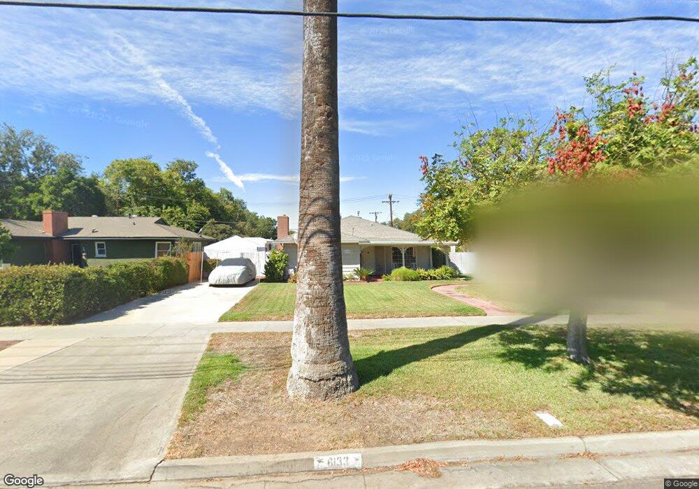
6133 Palm Ave Riverside, CA 92506
Magnolia Center NeighborhoodEstimated Value: $628,000 - $691,305
3
Beds
2
Baths
1,786
Sq Ft
$371/Sq Ft
Est. Value
About This Home
This home is located at 6133 Palm Ave, Riverside, CA 92506 and is currently estimated at $661,826, approximately $370 per square foot. 6133 Palm Ave is a home located in Riverside County with nearby schools including Magnolia Elementary School, Sierra Middle School, and Ramona High School.
Ownership History
Date
Name
Owned For
Owner Type
Purchase Details
Closed on
Jun 28, 2016
Sold by
Deloss John Glenn
Bought by
Deloss John Glenn and Deloss Karen L
Current Estimated Value
Purchase Details
Closed on
Oct 10, 1997
Sold by
Swift George M and Swift Diane L
Bought by
Deloss John G and Deloss Karen L
Home Financials for this Owner
Home Financials are based on the most recent Mortgage that was taken out on this home.
Original Mortgage
$111,600
Outstanding Balance
$17,694
Interest Rate
7.3%
Estimated Equity
$644,132
Create a Home Valuation Report for This Property
The Home Valuation Report is an in-depth analysis detailing your home's value as well as a comparison with similar homes in the area
Home Values in the Area
Average Home Value in this Area
Purchase History
| Date | Buyer | Sale Price | Title Company |
|---|---|---|---|
| Deloss John Glenn | -- | None Available | |
| Deloss Family Revocable Living Trust | -- | None Available | |
| Deloss John G | $124,000 | First American Title Ins Co |
Source: Public Records
Mortgage History
| Date | Status | Borrower | Loan Amount |
|---|---|---|---|
| Open | Deloss John G | $111,600 |
Source: Public Records
Tax History
| Year | Tax Paid | Tax Assessment Tax Assessment Total Assessment is a certain percentage of the fair market value that is determined by local assessors to be the total taxable value of land and additions on the property. | Land | Improvement |
|---|---|---|---|---|
| 2025 | $2,114 | $197,960 | $47,881 | $150,079 |
| 2023 | $2,114 | $190,275 | $46,023 | $144,252 |
| 2022 | $2,063 | $186,545 | $45,121 | $141,424 |
| 2021 | $2,046 | $182,888 | $44,237 | $138,651 |
| 2020 | $2,030 | $181,014 | $43,784 | $137,230 |
| 2019 | $1,992 | $177,466 | $42,926 | $134,540 |
| 2018 | $1,952 | $173,987 | $42,086 | $131,901 |
| 2017 | $1,917 | $170,576 | $41,261 | $129,315 |
| 2016 | $1,795 | $167,232 | $40,452 | $126,780 |
| 2015 | $1,768 | $164,723 | $39,846 | $124,877 |
| 2014 | $1,750 | $161,498 | $39,066 | $122,432 |
Source: Public Records
Map
Nearby Homes
- 4660 Cover St
- 4593 Merrill Ave
- 4538 Merrill Ave
- 4427 Sunnyside Dr
- 6176 Wiehe Ave
- 6240 Wiehe Ave
- 4329 Central Ave
- 4423 Maplewood Place
- 4815 Jurupa Ave
- 4693 Central Ave
- 4061 Maplewood Place
- 4831 Jurupa Ave
- 4390 Edgewood Place
- 5654 Tower Rd
- 4866 Sunnyside Dr
- 4939 Plumtree Ct
- 5604 Tower Rd
- 6044 Elenor St
- 6014 Elenor St
- 5847 Meadowbrook Ln
Your Personal Tour Guide
Ask me questions while you tour the home.