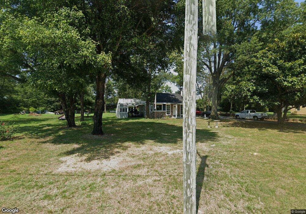
6145 Boyce Rd Seaford, DE 19973
Estimated Value: $265,000 - $309,000
2
Beds
--
Bath
1,248
Sq Ft
$228/Sq Ft
Est. Value
About This Home
This home is located at 6145 Boyce Rd, Seaford, DE 19973 and is currently estimated at $284,642, approximately $228 per square foot. 6145 Boyce Rd is a home located in Sussex County with nearby schools including Seaford Central Elementary School, Frederick Douglass Elementary School, and Seaford Middle School.
Ownership History
Date
Name
Owned For
Owner Type
Purchase Details
Closed on
May 16, 2021
Sold by
Lee Robert T
Bought by
Hmc Assets Llc
Current Estimated Value
Home Financials for this Owner
Home Financials are based on the most recent Mortgage that was taken out on this home.
Original Mortgage
$60,000
Outstanding Balance
$8,457
Interest Rate
2.6%
Mortgage Type
Stand Alone Refi Refinance Of Original Loan
Estimated Equity
$276,185
Create a Home Valuation Report for This Property
The Home Valuation Report is an in-depth analysis detailing your home's value as well as a comparison with similar homes in the area
Home Values in the Area
Average Home Value in this Area
Purchase History
| Date | Buyer | Sale Price | Title Company |
|---|---|---|---|
| Hmc Assets Llc | $66,000 | None Available |
Source: Public Records
Mortgage History
| Date | Status | Borrower | Loan Amount |
|---|---|---|---|
| Open | Hmc Assets Llc | $60,000 |
Source: Public Records
Tax History
| Year | Tax Paid | Tax Assessment Tax Assessment Total Assessment is a certain percentage of the fair market value that is determined by local assessors to be the total taxable value of land and additions on the property. | Land | Improvement |
|---|---|---|---|---|
| 2025 | $881 | $8,700 | $1,000 | $7,700 |
| 2024 | $690 | $8,700 | $1,000 | $7,700 |
| 2023 | $690 | $8,700 | $1,000 | $7,700 |
| 2022 | $424 | $8,700 | $1,000 | $7,700 |
| 2021 | $426 | $8,700 | $1,000 | $7,700 |
| 2020 | $461 | $8,700 | $1,000 | $7,700 |
| 2019 | $404 | $8,700 | $1,000 | $7,700 |
| 2018 | $394 | $8,700 | $0 | $0 |
| 2017 | $374 | $8,700 | $0 | $0 |
| 2016 | $214 | $8,700 | $0 | $0 |
| 2015 | $213 | $8,700 | $0 | $0 |
| 2014 | $202 | $8,700 | $0 | $0 |
Source: Public Records
Map
Nearby Homes
- 6873 Robin Dr
- 1102 Wythe Ln
- 22502 Atlanta Rd
- 413 Plantation Dr
- 133 Belle Ayre Dr
- 733 Huston St
- 6073 W Stein Hwy
- 301 Lilac Ln
- 517 Elm Dr
- 714 W Ivy Dr
- 0 Helens Ln
- 749 Hurley Park Dr
- 35 Read St
- 900 W Locust St
- 723 Hurley Park Dr
- 200 Tulip Place
- 31 N Pine Street Extension
- 308 Sussex Ave
- 303 State St
- 179 Pond View Ln
- 6165 Boyce Rd
- 24021 Chapel Branch Rd
- 920 Midway Ln
- 0 N Atlanta Cir Unit 1001069842
- 0 N Atlanta Cir Unit 1001372462
- 0 N Atlanta Cir Unit 12 1001568914
- 0 N Atlanta Cir Unit 14 1001568944
- 0 N Atlanta Cir Unit 13 1001568930
- 927 N Atlanta Cir Unit Lot 1
- 927 N Atlanta Cir
- 22907 Atlanta Rd
- 24053 Chapel Branch Rd
- 22919 Atlanta Rd
- 925 N Atlanta Cir
- 22811 Atlanta Rd
- 22929 Atlanta Rd
- 918 Midway Ln
- 916 N Atlanta Cir
- 916 N Atlanta Cir
- 916 N Atlanta Cir
Your Personal Tour Guide
Ask me questions while you tour the home.