Estimated Value: $267,000 - $321,000
Studio
3
Baths
1,996
Sq Ft
$145/Sq Ft
Est. Value
About This Home
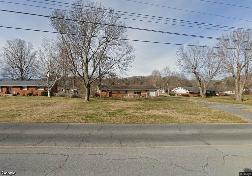
This home is located at 615 S Mohawk Dr, Erwin, TN 37650 and is currently estimated at $288,584, approximately $144 per square foot. 615 S Mohawk Dr is a home located in Unicoi County with nearby schools including Unicoi Community Learning Center, Love Chapel Elementary School, and Unicoi County Middle School.
Ownership History
Date
Name
Owned For
Owner Type
Purchase Details
Closed on
Feb 17, 2006
Sold by
Wilson Gene
Bought by
Hensley Andrea
Current Estimated Value
Home Financials for this Owner
Home Financials are based on the most recent Mortgage that was taken out on this home.
Original Mortgage
$90,000
Outstanding Balance
$1,921
Interest Rate
6.04%
Estimated Equity
$286,663
Purchase Details
Closed on
Sep 15, 2005
Sold by
Shults David R (Devisee Of
Bought by
Wilson Gene
Purchase Details
Closed on
Apr 23, 1999
Sold by
Slagle Roy Lee
Bought by
Shults Bobbie
Create a Home Valuation Report for This Property
The Home Valuation Report is an in-depth analysis detailing your home's value as well as a comparison with similar homes in the area
Home Values in the Area
Average Home Value in this Area
Purchase History
| Date | Buyer | Sale Price | Title Company |
|---|---|---|---|
| Hensley Andrea | $180,000 | -- | |
| Wilson Gene | $180,000 | -- | |
| Shults Bobbie | $106,000 | -- |
Source: Public Records
Mortgage History
| Date | Status | Borrower | Loan Amount |
|---|---|---|---|
| Open | Shults Bobbie | $90,000 |
Source: Public Records
Tax History
| Year | Tax Paid | Tax Assessment Tax Assessment Total Assessment is a certain percentage of the fair market value that is determined by local assessors to be the total taxable value of land and additions on the property. | Land | Improvement |
|---|---|---|---|---|
| 2025 | $1,262 | $48,325 | $10,400 | $37,925 |
| 2024 | $1,262 | $48,325 | $10,400 | $37,925 |
| 2023 | $1,262 | $48,325 | $0 | $0 |
| 2022 | $1,886 | $48,325 | $10,400 | $37,925 |
| 2021 | $1,963 | $41,625 | $10,400 | $31,225 |
| 2020 | $1,892 | $41,625 | $10,400 | $31,225 |
| 2019 | $1,892 | $41,625 | $10,400 | $31,225 |
| 2018 | $1,726 | $41,625 | $10,400 | $31,225 |
| 2017 | $1,719 | $41,625 | $10,400 | $31,225 |
| 2016 | $1,853 | $45,275 | $10,400 | $34,875 |
Source: Public Records
Map
Nearby Homes
- 518 Ohio Ave
- 639 Ohio Ave
- 205 Okolona Dr
- 524 Carolina Ave
- 120 Ervin Loop
- 144 Ervin Loop
- 408 Levelin St
- 206 Florida Ave
- 235 S Mohawk Dr
- 202 Florida Ave
- 418 Opekiska St
- 440 Love St
- 416 Opekiska St
- 429 Love St
- 102 Sycamore and 602 Monroe St
- 345 S Elm Ave
- 111 Parsley St
- 631 S Elm Ave
- 101 Spar Mill Rd
- 317 Gay St
- 625 S Mohawk Dr
- 605 S Mohawk Dr
- 615 Sinasta Dr
- 576 Tennessee Rd
- 659 Sinasta Dr
- 625 Sinasta Dr
- 605 Sinasta Dr
- 539 Sinasta Dr
- 620 Oneega Ln
- 560 Tennessee Rd
- 626 Oneega Ln
- 705 Levelin St
- 525 Sinasta Dr
- 536 Sinasta Dr
- 615 Oneega Ln
- 632 Levelin St
- 550 Tennessee Rd
- 625 Oneega Ln
- 525 Oneega Ln
- 623 Oneega Ln
Your Personal Tour Guide
Ask me questions while you tour the home.