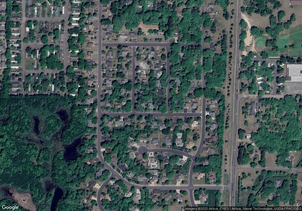
6166 Albert Ln North Branch, MN 55056
Estimated Value: $335,000 - $355,168
4
Beds
3
Baths
2,095
Sq Ft
$165/Sq Ft
Est. Value
About This Home
This home is located at 6166 Albert Ln, North Branch, MN 55056 and is currently estimated at $345,542, approximately $164 per square foot. 6166 Albert Ln is a home located in Chisago County with nearby schools including Sunrise River Elementary School, North Branch Middle School, and North Branch Senior High School.
Ownership History
Date
Name
Owned For
Owner Type
Purchase Details
Closed on
Jul 30, 2021
Sold by
Steger Michael Michael
Bought by
Jepson Jon Jon
Current Estimated Value
Home Financials for this Owner
Home Financials are based on the most recent Mortgage that was taken out on this home.
Original Mortgage
$281,300
Outstanding Balance
$254,282
Interest Rate
2.8%
Estimated Equity
$91,260
Purchase Details
Closed on
Feb 1, 2017
Sold by
Matrix Financial Services Corporation
Bought by
Secretary Of Housing & Urban Development
Purchase Details
Closed on
Aug 6, 1999
Sold by
Trembley Chad T and Trembley Natalie M
Bought by
Oday Thomas and Oday Wendy
Purchase Details
Closed on
Jun 25, 1998
Sold by
G & K Development
Bought by
Trembley Chad T and Trembley Natalie M
Create a Home Valuation Report for This Property
The Home Valuation Report is an in-depth analysis detailing your home's value as well as a comparison with similar homes in the area
Home Values in the Area
Average Home Value in this Area
Purchase History
| Date | Buyer | Sale Price | Title Company |
|---|---|---|---|
| Jepson Jon Jon | $290,000 | -- | |
| Secretary Of Housing & Urban Development | -- | None Available | |
| Oday Thomas | $159,900 | -- | |
| Trembley Chad T | $24,000 | -- | |
| Jepson Jon Jon | $290,000 | -- |
Source: Public Records
Mortgage History
| Date | Status | Borrower | Loan Amount |
|---|---|---|---|
| Open | Jepson Jon Jon | $281,300 | |
| Closed | Jepson Jon Jon | -- | |
| Closed | Jepson Jon Jon | $281,300 |
Source: Public Records
Tax History Compared to Growth
Tax History
| Year | Tax Paid | Tax Assessment Tax Assessment Total Assessment is a certain percentage of the fair market value that is determined by local assessors to be the total taxable value of land and additions on the property. | Land | Improvement |
|---|---|---|---|---|
| 2024 | $4,014 | $307,200 | $0 | $0 |
| 2023 | $4,014 | $332,600 | $0 | $0 |
| 2022 | $4,026 | $304,300 | $0 | $0 |
| 2021 | $5,876 | $252,000 | $0 | $0 |
| 2020 | $3,766 | $256,700 | $40,000 | $216,700 |
| 2019 | $3,412 | $0 | $0 | $0 |
| 2018 | $3,190 | $0 | $0 | $0 |
| 2017 | $2,752 | $0 | $0 | $0 |
| 2016 | $2,540 | $0 | $0 | $0 |
| 2015 | $2,626 | $0 | $0 | $0 |
| 2014 | -- | $143,400 | $0 | $0 |
Source: Public Records
Map
Nearby Homes
- 38470 Glacier Dr
- 38280 Great Oaks Ct
- 38725 12th Ave Unit 83
- 38632 Oakview Ave
- XXXXX Maple St
- 38xxx Oakview Ave
- 38946 7th Ave
- 38558 Grand Ave
- 54xx 386th St
- 38958 Elm Ct
- 6944 376th St
- 6640 Granby St
- 6684 Granby St
- 6643 Granby St
- 6708 Granby St
- 5433 389th Trail
- 6701 Granby St
- 6711 Granby St
- 38282 Explorer Cir
- 6231 Red Fox Run