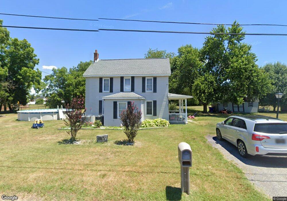
62 Maple St Houston, DE 19954
Estimated Value: $278,000 - $357,000
3
Beds
2
Baths
1,976
Sq Ft
$164/Sq Ft
Est. Value
About This Home
This home is located at 62 Maple St, Houston, DE 19954 and is currently estimated at $323,448, approximately $163 per square foot. 62 Maple St is a home located in Kent County with nearby schools including Benjamin Banneker Elementary School, Milford Central Academy, and Milford Senior High School.
Ownership History
Date
Name
Owned For
Owner Type
Purchase Details
Closed on
Aug 14, 2008
Sold by
Deneau Daniel A and Deneau Carie L
Bought by
Mcdonnell Leon
Current Estimated Value
Home Financials for this Owner
Home Financials are based on the most recent Mortgage that was taken out on this home.
Original Mortgage
$173,528
Outstanding Balance
$114,282
Interest Rate
6.4%
Mortgage Type
FHA
Estimated Equity
$209,166
Create a Home Valuation Report for This Property
The Home Valuation Report is an in-depth analysis detailing your home's value as well as a comparison with similar homes in the area
Home Values in the Area
Average Home Value in this Area
Purchase History
| Date | Buyer | Sale Price | Title Company |
|---|---|---|---|
| Mcdonnell Leon | $174,900 | None Available |
Source: Public Records
Mortgage History
| Date | Status | Borrower | Loan Amount |
|---|---|---|---|
| Open | Mcdonnell Leon | $173,528 |
Source: Public Records
Tax History
| Year | Tax Paid | Tax Assessment Tax Assessment Total Assessment is a certain percentage of the fair market value that is determined by local assessors to be the total taxable value of land and additions on the property. | Land | Improvement |
|---|---|---|---|---|
| 2025 | $891 | $246,700 | $50,200 | $196,500 |
| 2024 | $930 | $246,700 | $50,200 | $196,500 |
| 2023 | $654 | $29,100 | $8,500 | $20,600 |
| 2022 | $639 | $29,100 | $8,500 | $20,600 |
| 2021 | $650 | $29,100 | $8,500 | $20,600 |
| 2020 | $655 | $29,100 | $8,500 | $20,600 |
| 2019 | $659 | $29,100 | $8,500 | $20,600 |
| 2018 | $661 | $29,100 | $8,500 | $20,600 |
| 2017 | $667 | $29,100 | $0 | $0 |
| 2016 | $708 | $29,100 | $0 | $0 |
| 2015 | $518 | $29,100 | $0 | $0 |
| 2014 | $508 | $29,100 | $0 | $0 |
Source: Public Records
Map
Nearby Homes
- 1126 Pine St
- 54 Minner St
- 4256 Deep Grass Ln
- 564 Front St
- 491 Broad St
- 82 N Sarah Side Dr
- 312 Sarah Side Dr
- 245 Sika Dr
- 349 Sika Dr
- 0 Plummer Ln
- 2968 Deep Grass Ln
- 459 Killens Pond Rd
- 65 Hidden Hollow Dr
- Lot 3 Williamsville Rd
- Lot 2 Williamsville Rd
- 3231 Williamsville Rd
- 217 Marjorie Ln
- 3171 Williamsville Rd
- 43 Gardenia Blvd
- 21 Cedar Crest Ln
- 59 Maple St
- 37 Maple St
- 12 Maple St
- 94 Maple St
- 1225 Pine St
- 1271 Pine St
- 1215 Pine St
- 1255 Pine St Unit 1
- 1283 Pine St
- 1281 Pine St
- Lot 34 the Mists at Blairs Pond
- X Gun and Rod Club Road To Thistlewood
- 0 Timber Ln Unit 6604016
- 1195 Pine St
- 1291 Pine St
- 130 Maple St Unit 1
- 294 School St
- 248 School St
- 232 School St
- 1228 Pine St
Your Personal Tour Guide
Ask me questions while you tour the home.