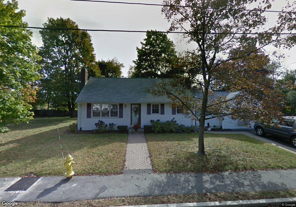
62 Regis Rd Unit 62 Braintree, MA 02184
South Braintree NeighborhoodEstimated Value: $685,419 - $892,000
3
Beds
3
Baths
1,925
Sq Ft
$410/Sq Ft
Est. Value
About This Home
This home is located at 62 Regis Rd Unit 62, Braintree, MA 02184 and is currently estimated at $789,605, approximately $410 per square foot. 62 Regis Rd Unit 62 is a home located in Norfolk County with nearby schools including Braintree High School, Thayer Academy, and South Shore SDA School.
Ownership History
Date
Name
Owned For
Owner Type
Purchase Details
Closed on
May 31, 2005
Sold by
Buckley Paul E and Ross Susan J
Bought by
Roger Eaiello Ret
Current Estimated Value
Purchase Details
Closed on
Apr 30, 2001
Sold by
Bonanno Anthony N and Bonanno Vincent F
Bought by
Buckley Paul E
Home Financials for this Owner
Home Financials are based on the most recent Mortgage that was taken out on this home.
Original Mortgage
$215,000
Interest Rate
6.88%
Mortgage Type
Purchase Money Mortgage
Create a Home Valuation Report for This Property
The Home Valuation Report is an in-depth analysis detailing your home's value as well as a comparison with similar homes in the area
Home Values in the Area
Average Home Value in this Area
Purchase History
| Date | Buyer | Sale Price | Title Company |
|---|---|---|---|
| Roger Eaiello Ret | $440,000 | -- | |
| Buckley Paul E | $230,600 | -- |
Source: Public Records
Mortgage History
| Date | Status | Borrower | Loan Amount |
|---|---|---|---|
| Previous Owner | Roger Eaiello Ret | $310,000 | |
| Previous Owner | Buckley Paul E | $220,600 | |
| Previous Owner | Buckley Paul E | $215,000 |
Source: Public Records
Tax History Compared to Growth
Tax History
| Year | Tax Paid | Tax Assessment Tax Assessment Total Assessment is a certain percentage of the fair market value that is determined by local assessors to be the total taxable value of land and additions on the property. | Land | Improvement |
|---|---|---|---|---|
| 2025 | $6,927 | $694,100 | $423,900 | $270,200 |
| 2024 | $6,180 | $651,900 | $384,900 | $267,000 |
| 2023 | $5,746 | $588,700 | $345,800 | $242,900 |
| 2022 | $5,525 | $555,300 | $312,400 | $242,900 |
| 2021 | $5,194 | $522,000 | $282,300 | $239,700 |
| 2020 | $4,894 | $496,300 | $256,600 | $239,700 |
| 2019 | $4,813 | $477,000 | $245,400 | $231,600 |
| 2018 | $4,691 | $445,100 | $223,100 | $222,000 |
| 2017 | $4,505 | $419,500 | $212,000 | $207,500 |
| 2016 | $4,378 | $398,700 | $200,800 | $197,900 |
| 2015 | $4,043 | $365,200 | $167,300 | $197,900 |
| 2014 | $3,785 | $331,400 | $160,700 | $170,700 |
Source: Public Records
Map
Nearby Homes
- 72 Armstrong Cir
- 614 Pond St Unit 2104
- 614 Pond St Unit 1415
- 80 Lake St
- 7 Carter Rd
- 700 North St
- 7 Scannell Rd
- 661 North St
- 38 Mcdevitt Rd
- 26 Knights Crescent St
- 47 Addison St
- 305 Franklin St
- 6 Franklin St
- 1579 Washington St
- 11 Rockefeller St
- 469 North St
- 7 Webster St
- 12 Webster St
- 44 Arlington Ave
- 16 Winthrop Ave