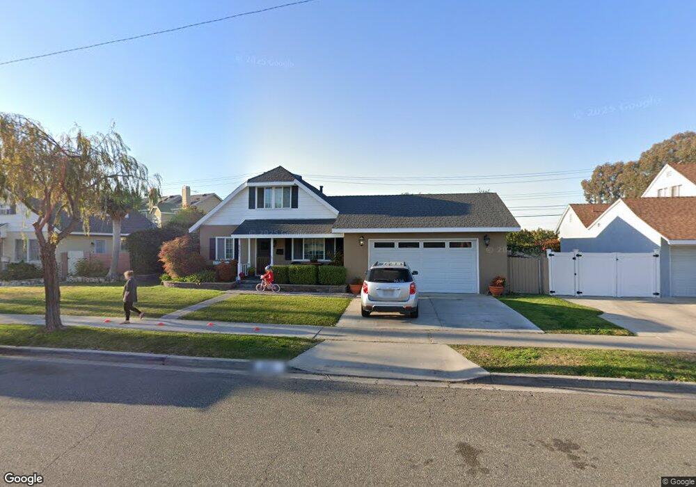
6201 Apache Rd Westminster, CA 92683
Estimated Value: $879,000 - $1,219,000
About This Home
This home is located at 6201 Apache Rd, Westminster, CA 92683 and is currently estimated at $1,028,676, approximately $663 per square foot. 6201 Apache Rd is a home located in Orange County with nearby schools including Sequoia Elementary, Johnson Middle, and Westminster High School.
Ownership History
We collect this data history from publicly available records. To have your information removed, we recommend requesting removal directly through your county’s website.
Purchase Details
Home Financials for this Owner
Home Financials are based on the most recent Mortgage that was taken out on this home.Home Values in the Area
Average Home Value in this Area
Purchase History
We collect this data history from publicly available records. To have your information removed, we recommend requesting removal directly through your county’s website.
| Date | Buyer | Sale Price | Title Company |
|---|---|---|---|
| $165,000 | South Coast Title Company |
Mortgage History
We collect this data history from publicly available records. To have your information removed, we recommend requesting removal directly through your county’s website.
| Date | Status | Borrower | Loan Amount |
|---|---|---|---|
| Previous Owner | $156,750 |
Tax History
We collect this data history from publicly available records. To have your information removed, we recommend requesting removal directly through your county’s website.
| Year | Tax Paid | Tax Assessment Tax Assessment Total Assessment is a certain percentage of the fair market value that is determined by local assessors to be the total taxable value of land and additions on the property. | Land | Improvement |
|---|---|---|---|---|
| 2025 | $4,566 | $351,481 | $200,909 | $150,572 |
| 2024 | $4,566 | $344,590 | $196,970 | $147,620 |
| 2023 | $4,413 | $337,834 | $193,108 | $144,726 |
| 2022 | $4,304 | $331,210 | $189,321 | $141,889 |
| 2021 | $4,195 | $324,716 | $185,609 | $139,107 |
| 2020 | $4,147 | $321,387 | $183,706 | $137,681 |
| 2019 | $4,104 | $315,086 | $180,104 | $134,982 |
| 2018 | $4,103 | $308,908 | $176,572 | $132,336 |
| 2017 | $3,957 | $302,851 | $173,109 | $129,742 |
| 2016 | $3,839 | $296,913 | $169,714 | $127,199 |
| 2015 | $3,777 | $292,454 | $167,165 | $125,289 |
| 2014 | $3,696 | $286,726 | $163,891 | $122,835 |
Map
- 13036 Springarden Ln
- 5772 Garden Grove Blvd Unit 519
- 6812 Anthony Ave
- 12751 Owen St
- 6801 Park Ave
- 5681 Norma Dr
- 6532 Killarney Ave
- 6091 Navajo Rd
- 12832 Adams St
- 12472 Topaz St
- 5642 Meinhardt Rd
- 6501 Pickett Ave
- 6951 Stanford Ave
- 6949 Danvers Dr
- 12561 Edgemont Ln
- 6178 Hefley St Unit 17
- 6952 Brightwood Ln Unit 4
- 6200 Hefley St Unit 6
- 13792 Willow Ln
- 6121 Ludlow Ave
- 6191 Apache Rd
- 6211 Apache Rd
- 13034 Springarden Ln
- 6181 Apache Rd
- 13038 Springarden Ln
- 6221 Apache Rd
- 6202 Apache Rd
- 6212 Apache Rd
- 6192 Apache Rd
- 13042 Springarden Ln
- 13044 Springarden Ln
- 6222 Apache Rd
- 6171 Apache Rd
- 6231 Apache Rd
- 13046 Springarden Ln
- 6182 Apache Rd
- 6231 Bannock Rd
- 6232 Apache Rd
- 6235 Bannock Rd
- 6221 Bannock Rd
Ask me questions while you tour the home.