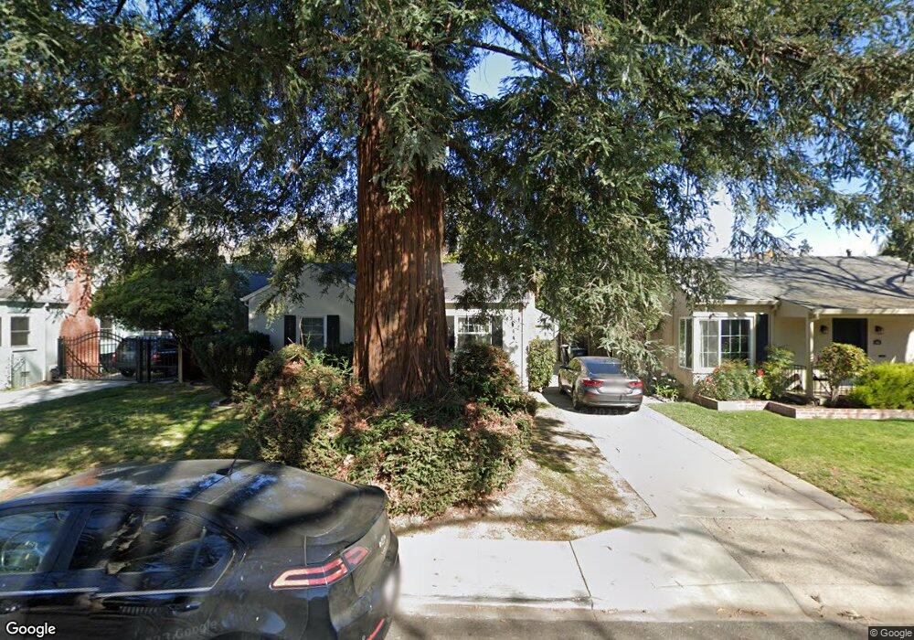
621 5th Ave Sacramento, CA 95818
Upper Land Park NeighborhoodEstimated Value: $474,000 - $631,000
2
Beds
1
Bath
833
Sq Ft
$645/Sq Ft
Est. Value
About This Home
This home is located at 621 5th Ave, Sacramento, CA 95818 and is currently estimated at $537,035, approximately $644 per square foot. 621 5th Ave is a home located in Sacramento County with nearby schools including Crocker/Riverside Elementary School, California Middle, and C. K. McClatchy High.
Ownership History
Date
Name
Owned For
Owner Type
Purchase Details
Closed on
Feb 4, 2014
Sold by
Barron George P and Barron Leslie M
Bought by
George P Barron & Leslie M Barron Trust
Current Estimated Value
Purchase Details
Closed on
Sep 23, 2008
Sold by
Barron Leslie M and Apple Leslie M
Bought by
Barron George P and Barron Leslie M
Purchase Details
Closed on
Sep 26, 2001
Sold by
Gorsch Susan
Bought by
Apple Leslie M
Home Financials for this Owner
Home Financials are based on the most recent Mortgage that was taken out on this home.
Original Mortgage
$172,000
Interest Rate
6.91%
Create a Home Valuation Report for This Property
The Home Valuation Report is an in-depth analysis detailing your home's value as well as a comparison with similar homes in the area
Home Values in the Area
Average Home Value in this Area
Purchase History
| Date | Buyer | Sale Price | Title Company |
|---|---|---|---|
| George P Barron & Leslie M Barron Trust | -- | None Available | |
| Barron George P | -- | None Available | |
| Apple Leslie M | $196,000 | Stewart Title |
Source: Public Records
Mortgage History
| Date | Status | Borrower | Loan Amount |
|---|---|---|---|
| Previous Owner | Apple Leslie M | $172,000 |
Source: Public Records
Tax History
| Year | Tax Paid | Tax Assessment Tax Assessment Total Assessment is a certain percentage of the fair market value that is determined by local assessors to be the total taxable value of land and additions on the property. | Land | Improvement |
|---|---|---|---|---|
| 2025 | $3,542 | $289,526 | $132,943 | $156,583 |
| 2024 | $3,542 | $283,850 | $130,337 | $153,513 |
| 2023 | $3,460 | $278,285 | $127,782 | $150,503 |
| 2022 | $3,401 | $272,829 | $125,277 | $147,552 |
| 2021 | $3,243 | $267,480 | $122,821 | $144,659 |
| 2020 | $3,268 | $264,738 | $121,562 | $143,176 |
| 2019 | $3,200 | $259,548 | $119,179 | $140,369 |
| 2018 | $3,117 | $254,460 | $116,843 | $137,617 |
| 2017 | $3,074 | $249,471 | $114,552 | $134,919 |
| 2016 | $3,005 | $244,580 | $112,306 | $132,274 |
| 2015 | $2,962 | $240,908 | $110,620 | $130,288 |
| 2014 | $2,884 | $236,190 | $108,454 | $127,736 |
Source: Public Records
Map
Nearby Homes
- 626 Jones Way
- 570 4th Ave
- 924 9th Ave
- 2465 Fontana St Unit 7
- 2390 San Marco St Unit 6
- 620 Dudley Way
- 1307 Milano Dr Unit 1
- 1300 Milano Dr Unit 7
- 601 Dudley Way
- 1330 Robertson Way
- 1323 Milano Dr Unit 6
- 2822 Moonflower St
- 1348 Milano Dr Unit 1
- 2844 Moonflower St
- 2487 Torino St Unit 4
- 2604 Cleat Ln
- 2643 Cleat Ln Unit 34B
- 420 Lug Ln Unit 47A
- 413 Tailoff Ln Unit 91B
- 471 Tailoff Ln Unit 99A
Your Personal Tour Guide
Ask me questions while you tour the home.