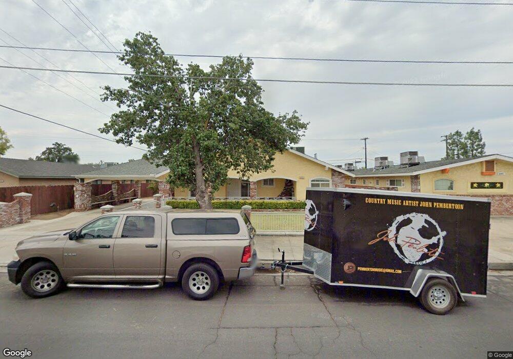
622 10th St Clovis, CA 93612
Estimated Value: $391,865 - $403,000
2
Beds
3
Baths
1,499
Sq Ft
$265/Sq Ft
Est. Value
About This Home
This home is located at 622 10th St, Clovis, CA 93612 and is currently estimated at $397,288, approximately $265 per square foot. 622 10th St is a home located in Fresno County with nearby schools including Sierra Vista Elementary School, Clark Intermediate School, and Clovis High School.
Ownership History
Date
Name
Owned For
Owner Type
Purchase Details
Closed on
Nov 19, 2018
Sold by
Garza Josephine
Bought by
Revocab Garza Josephine R and Revocab Josephine R Garza 2018
Current Estimated Value
Purchase Details
Closed on
Jan 2, 2018
Sold by
Garza Josephine
Bought by
Garza Josephine
Purchase Details
Closed on
Apr 8, 2011
Sold by
Herrera Isaac
Bought by
Herrera Isaac
Purchase Details
Closed on
Jun 15, 1998
Sold by
Bertha Harris
Bought by
Herrera Isaac
Create a Home Valuation Report for This Property
The Home Valuation Report is an in-depth analysis detailing your home's value as well as a comparison with similar homes in the area
Home Values in the Area
Average Home Value in this Area
Purchase History
| Date | Buyer | Sale Price | Title Company |
|---|---|---|---|
| Revocab Garza Josephine R | -- | None Available | |
| Garza Josephine | -- | None Available | |
| Herrera Isaac | -- | None Available | |
| Herrera Isaac | $55,000 | First American Title |
Source: Public Records
Tax History
| Year | Tax Paid | Tax Assessment Tax Assessment Total Assessment is a certain percentage of the fair market value that is determined by local assessors to be the total taxable value of land and additions on the property. | Land | Improvement |
|---|---|---|---|---|
| 2025 | $2,573 | $215,508 | $40,747 | $174,761 |
| 2023 | $2,477 | $207,142 | $39,166 | $167,976 |
| 2022 | $2,444 | $203,082 | $38,399 | $164,683 |
| 2021 | $2,377 | $199,101 | $37,647 | $161,454 |
| 2020 | $2,368 | $197,060 | $37,261 | $159,799 |
| 2019 | $2,322 | $193,197 | $36,531 | $156,666 |
| 2018 | $2,272 | $189,410 | $35,815 | $153,595 |
| 2017 | $2,234 | $185,697 | $35,113 | $150,584 |
| 2016 | $2,159 | $182,057 | $34,425 | $147,632 |
| 2015 | $2,050 | $172,700 | $33,400 | $139,300 |
| 2014 | $1,925 | $161,800 | $31,300 | $130,500 |
Source: Public Records
Map
Nearby Homes
- 142 9th St
- 134 10th St
- 103 Poppy Ln
- 1228 Jefferson Ave
- 127 5th St
- 51 San Jose Ave
- 760 Sunnyside Ave
- 1272 Bullard Ave
- 69 W Beverly Ave Unit 101
- 216 Keats Ave
- 1465 Mayflower Way
- 1428 Miami Ave
- 1416 Plymouth Rock Way
- 1448 Plymouth Rock Way
- 1468 Plymouth Rock Way
- 1724 Minnewawa Ave Unit 95
- 1724 Minnewawa Ave Unit 56
- 1606 Barstow Ave
- 1234 No Address Available
- 1650 Villa Ave Unit 48
- 634 10th St
- 621 Lincoln Ave
- 631 Lincoln Ave
- 613 Lincoln Ave
- 981 Pollasky Ave
- 639 Lincoln Ave
- 603 Lincoln Ave
- 964 Clovis Ave
- 1022 Clovis Ave
- 956 Clovis Ave
- 1038 Clovis Ave
- 1020 Pollasky Ave
- 1002 Pollasky Ave
- 944 Clovis Ave
- 620 Lincoln Ave
- 630 Lincoln Ave
- 612 Lincoln Ave
- 638 Lincoln Ave
- 602 Lincoln Ave
- 644 Lincoln Ave
Your Personal Tour Guide
Ask me questions while you tour the home.