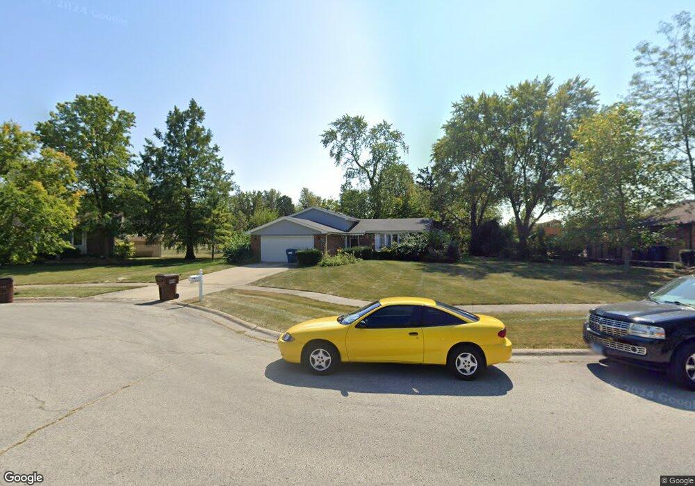
622 Brookside Ln Frankfort, IL 60423
North Frankfort NeighborhoodEstimated Value: $351,000 - $438,000
3
Beds
2
Baths
1,208
Sq Ft
$328/Sq Ft
Est. Value
About This Home
This home is located at 622 Brookside Ln, Frankfort, IL 60423 and is currently estimated at $396,561, approximately $328 per square foot. 622 Brookside Ln is a home located in Will County with nearby schools including Grand Prairie Elementary School, Chelsea Intermediate School, and Hickory Creek Middle School.
Ownership History
Date
Name
Owned For
Owner Type
Purchase Details
Closed on
Dec 4, 2023
Sold by
Trust Number 9373 and Chicago Title Land Trust Company
Bought by
Mccabe Marcia
Current Estimated Value
Purchase Details
Closed on
Sep 29, 2017
Sold by
Mcclenahan Ella M
Bought by
First Midwest Bank and Trust #9373
Purchase Details
Closed on
Jan 4, 2001
Sold by
Mcclenahan Frank C
Bought by
Mcclenahan Frank and Frank Mcclenahan Trust
Create a Home Valuation Report for This Property
The Home Valuation Report is an in-depth analysis detailing your home's value as well as a comparison with similar homes in the area
Home Values in the Area
Average Home Value in this Area
Purchase History
| Date | Buyer | Sale Price | Title Company |
|---|---|---|---|
| Mccabe Marcia | -- | Chicago Title | |
| First Midwest Bank | -- | Attorney | |
| Mcclenahan Frank | -- | -- |
Source: Public Records
Tax History
| Year | Tax Paid | Tax Assessment Tax Assessment Total Assessment is a certain percentage of the fair market value that is determined by local assessors to be the total taxable value of land and additions on the property. | Land | Improvement |
|---|---|---|---|---|
| 2024 | $8,523 | $115,570 | $22,871 | $92,699 |
| 2023 | $8,523 | $103,215 | $20,426 | $82,789 |
| 2022 | $7,469 | $94,012 | $18,605 | $75,407 |
| 2021 | $7,033 | $87,952 | $17,406 | $70,546 |
| 2020 | $6,854 | $85,473 | $16,915 | $68,558 |
| 2019 | $6,630 | $83,185 | $16,462 | $66,723 |
| 2018 | $6,508 | $80,794 | $15,989 | $64,805 |
| 2017 | $6,499 | $78,908 | $15,616 | $63,292 |
| 2016 | $6,341 | $76,203 | $15,081 | $61,122 |
| 2015 | $6,176 | $73,520 | $14,550 | $58,970 |
| 2014 | $6,176 | $73,009 | $14,449 | $58,560 |
| 2013 | $6,176 | $73,955 | $14,636 | $59,319 |
Source: Public Records
Map
Nearby Homes
- 647 Johnson Ave
- 21629 Kent Ct
- 254 Willow St
- 425 Cottonwood Rd
- 21726 Higley Ln
- 558 Birchwood Rd
- 9736 Folkers Dr
- 9724 Folkers Dr
- 51 Kaffel Ct
- 725 Cedar Ln
- Lot 3 Town Center Dr
- 719 Stonebridge Rd
- 10039 Croft Ln
- 267 Center Rd
- 11140 Lincoln Hwy
- 21213 S 93rd Ave
- 9815 W Laraway Rd
- 10850 W Laraway Rd
- 21632 Wolf Rd
- 20659 Abbey Dr
- 634 Brookside Ln
- 610 Brookside Ln
- 646 Brookside Ln
- 621 Brookside Ln
- 605 Brookside Ln
- 609 Brookside Ln
- 639 Brookside Ln
- 655 Brookside Ln
- 622 Franklin Ave
- 670 Brookside Ln
- 632 Franklin Ave
- 612 Franklin Ave
- 118 Pleasant Hill Ct
- 665 Brookside Ln
- 602 Franklin Ave
- 642 Franklin Ave
- 136 Pleasant Hill Ct
- 682 Brookside Ln
- 675 Brookside Ln
- 40 Pleasant Hill Ct
Your Personal Tour Guide
Ask me questions while you tour the home.