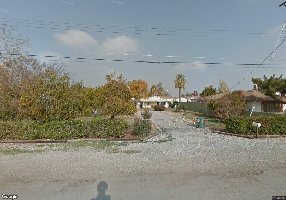
6220 Wright Ave Bakersfield, CA 93308
Olive Drive Area NeighborhoodEstimated Value: $274,000 - $326,000
2
Beds
1
Bath
1,189
Sq Ft
$253/Sq Ft
Est. Value
About This Home
This home is located at 6220 Wright Ave, Bakersfield, CA 93308 and is currently estimated at $300,801, approximately $252 per square foot. 6220 Wright Ave is a home located in Kern County with nearby schools including San Lauren Elementary School, Beardsley Junior High School, and North High School.
Ownership History
Date
Name
Owned For
Owner Type
Purchase Details
Closed on
Jul 1, 1998
Sold by
Keeney Buddy R and Keeney Jo Ann
Bought by
Riley Clifford L and Riley Susan E
Current Estimated Value
Home Financials for this Owner
Home Financials are based on the most recent Mortgage that was taken out on this home.
Original Mortgage
$69,121
Interest Rate
6.95%
Mortgage Type
FHA
Create a Home Valuation Report for This Property
The Home Valuation Report is an in-depth analysis detailing your home's value as well as a comparison with similar homes in the area
Home Values in the Area
Average Home Value in this Area
Purchase History
| Date | Buyer | Sale Price | Title Company |
|---|---|---|---|
| Riley Clifford L | $69,000 | Chicago Title Co |
Source: Public Records
Mortgage History
| Date | Status | Borrower | Loan Amount |
|---|---|---|---|
| Previous Owner | Riley Clifford L | $69,121 |
Source: Public Records
Tax History Compared to Growth
Tax History
| Year | Tax Paid | Tax Assessment Tax Assessment Total Assessment is a certain percentage of the fair market value that is determined by local assessors to be the total taxable value of land and additions on the property. | Land | Improvement |
|---|---|---|---|---|
| 2025 | $1,753 | $108,146 | $47,019 | $61,127 |
| 2024 | $1,704 | $106,027 | $46,098 | $59,929 |
| 2023 | $1,704 | $103,949 | $45,195 | $58,754 |
| 2022 | $1,633 | $101,911 | $44,309 | $57,602 |
| 2021 | $1,557 | $99,914 | $43,441 | $56,473 |
| 2020 | $1,497 | $98,890 | $42,996 | $55,894 |
| 2019 | $1,481 | $98,890 | $42,996 | $55,894 |
| 2018 | $1,429 | $95,052 | $41,327 | $53,725 |
| 2017 | $1,407 | $93,189 | $40,517 | $52,672 |
| 2016 | $1,332 | $91,363 | $39,723 | $51,640 |
| 2015 | $1,298 | $89,992 | $39,127 | $50,865 |
| 2014 | $1,257 | $88,230 | $38,361 | $49,869 |
Source: Public Records
Map
Nearby Homes
- 6200 Wright Ave
- 6918 Normandy Rose Ave
- 6418 Abby Rose Ave
- 5928 Wright Ave
- 6600 Cedarcrest Ave
- 6918 Crestwood St
- 6708 Cranbrook Ave
- 6709 Cedarcrest Ave
- 6600 Audene Way
- 6710 Pinecone Ave
- 7207 Briar Ridge Ct
- 7107 Creemore St
- 6317 Tallman Ave
- 6008 Carter Ave
- 6801 Mignonette St
- 5900 Carter Ave
- 6900 Jennifer St
- 6300 Mignonette St
- 7108 Luke Ave
- 6201 Victor St Unit C
- 6230 Wright Ave
- 6231 Rogers St
- 6211 Rogers St
- 6213 Rogers St
- 6707 Byrd St
- 6846 Normandy Rose Ave
- 6834 Normandy Rose Ave
- 6860 Normandy Rose Ave
- 6711 Byrd St
- 6822 Normandy Rose Ave
- 6902 Normandy Rose Ave
- 6810 Normandy Rose Ave
- 6231 Wright Ave
- 6906 Normandy Rose Ave
- 6218 Rogers St
- 6230 Rogers St
- 6226 Rogers St
- 6756 Normandy Rose Ave
- 6201 Wright Ave