623 Strand St Carlsbad, CA 92011
South Beach NeighborhoodEstimated Value: $1,993,000 - $2,081,000
4
Beds
4
Baths
2,268
Sq Ft
$896/Sq Ft
Est. Value
About This Home
This home is located at 623 Strand St, Carlsbad, CA 92011 and is currently estimated at $2,033,166, approximately $896 per square foot. 623 Strand St is a home located in San Diego County with nearby schools including Pacific Rim Elementary, Aviara Oaks Middle, and Carlsbad High School.
Ownership History
Date
Name
Owned For
Owner Type
Purchase Details
Closed on
Aug 4, 2017
Sold by
Gustin Benjamin W
Bought by
Gustin Benjamin William
Current Estimated Value
Purchase Details
Closed on
Mar 16, 2007
Sold by
Humphrey Jon W
Bought by
Gustin Benjamin W
Home Financials for this Owner
Home Financials are based on the most recent Mortgage that was taken out on this home.
Original Mortgage
$544,000
Outstanding Balance
$335,715
Interest Rate
6.62%
Mortgage Type
Unknown
Estimated Equity
$1,697,451
Purchase Details
Closed on
Jun 22, 2004
Sold by
Humphrey Sandy Z
Bought by
Humphrey Jon W
Purchase Details
Closed on
Jan 13, 2004
Sold by
Wl Homes Llc
Bought by
Humphrey Jon W
Home Financials for this Owner
Home Financials are based on the most recent Mortgage that was taken out on this home.
Original Mortgage
$540,550
Interest Rate
3.25%
Mortgage Type
New Conventional
Create a Home Valuation Report for This Property
The Home Valuation Report is an in-depth analysis detailing your home's value as well as a comparison with similar homes in the area
Home Values in the Area
Average Home Value in this Area
Purchase History
| Date | Buyer | Sale Price | Title Company |
|---|---|---|---|
| Gustin Benjamin William | -- | None Available | |
| Gustin Benjamin W | $680,000 | Landamerica | |
| Humphrey Jon W | -- | Fidelity National Title Co | |
| Humphrey Jon W | $676,000 | Fidelity National Title |
Source: Public Records
Mortgage History
| Date | Status | Borrower | Loan Amount |
|---|---|---|---|
| Open | Gustin Benjamin W | $544,000 | |
| Previous Owner | Humphrey Jon W | $540,550 |
Source: Public Records
Tax History
| Year | Tax Paid | Tax Assessment Tax Assessment Total Assessment is a certain percentage of the fair market value that is determined by local assessors to be the total taxable value of land and additions on the property. | Land | Improvement |
|---|---|---|---|---|
| 2025 | $10,744 | $949,311 | $468,916 | $480,395 |
| 2024 | $10,744 | $930,698 | $459,722 | $470,976 |
| 2023 | $10,693 | $912,450 | $450,708 | $461,742 |
| 2022 | $10,540 | $894,560 | $441,871 | $452,689 |
| 2021 | $10,466 | $877,020 | $433,207 | $443,813 |
| 2020 | $10,401 | $868,028 | $428,765 | $439,263 |
| 2019 | $9,849 | $816,695 | $420,358 | $396,337 |
| 2018 | $9,467 | $800,682 | $412,116 | $388,566 |
| 2017 | $9,323 | $784,984 | $404,036 | $380,948 |
| 2016 | $8,982 | $769,593 | $396,114 | $373,479 |
| 2015 | $8,949 | $758,033 | $390,164 | $367,869 |
| 2014 | $8,812 | $743,185 | $382,522 | $360,663 |
Source: Public Records
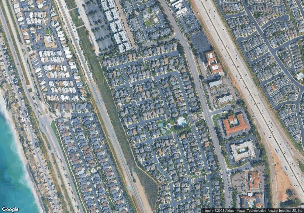
Map
Nearby Homes
- 609 Saltgrass Ave
- 605 Seaward Ave
- 6801 Embarcadero Ln
- 6550 Ponto Dr Unit 76
- 6550 Ponto Dr Unit 135
- 6550 Ponto Dr Unit 110
- 6550 Ponto Dr Unit 14
- 6550 Ponto Dr Unit 60
- 6871 Seaspray Ln
- 6951 Quiet Cove Dr
- 816 Caminito Azul
- 7039 Whitewater St
- 7025 San Bartolo St Unit 42
- 7243 San Luis St Unit 257
- 7218 San Lucas St Unit 189
- 7207 Santa Barbara St Unit 154
- 7008 San Bartolo St Unit 27
- 7027 San Bartolo St Unit 43
- 7023 San Bartolo St Unit 41
- 7004 San Carlos St Unit 67
- 619 Strand St
- 6931 Clearwater St
- 6927 Clearwater St
- 624 Saltgrass Ave
- 628 Saltgrass Ave
- 620 Saltgrass Ave
- 615 Strand St
- 632 Saltgrass Ave
- 6923 Clearwater St
- 616 Saltgrass Ave
- 622 Strand St
- 618 Strand St
- 6919 Clearwater St
- 614 Strand St
- 6932 Clearwater St
- 6936 Clearwater St
- 633 Sandside Ct
- 629 Sandside Ct
- 621 Saltgrass Ave
- 637 Sandside Ct
Your Personal Tour Guide
Ask me questions while you tour the home.