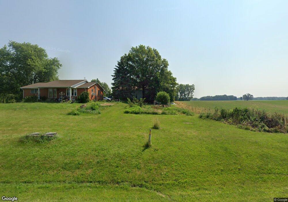
6239 State Route 100 Sycamore, OH 44882
Estimated Value: $226,000 - $594,000
2
Beds
3
Baths
2,693
Sq Ft
$142/Sq Ft
Est. Value
About This Home
This home is located at 6239 State Route 100, Sycamore, OH 44882 and is currently estimated at $382,902, approximately $142 per square foot. 6239 State Route 100 is a home located in Crawford County with nearby schools including Wynford Elementary School and Wynford High School.
Ownership History
Date
Name
Owned For
Owner Type
Purchase Details
Closed on
May 3, 2012
Sold by
Bertsch Larry M and Bertsch Ilona E
Bought by
Brause Gene H and Brause Beverly J
Current Estimated Value
Home Financials for this Owner
Home Financials are based on the most recent Mortgage that was taken out on this home.
Original Mortgage
$191,000
Outstanding Balance
$81,514
Interest Rate
4.08%
Mortgage Type
Future Advance Clause Open End Mortgage
Estimated Equity
$301,388
Create a Home Valuation Report for This Property
The Home Valuation Report is an in-depth analysis detailing your home's value as well as a comparison with similar homes in the area
Home Values in the Area
Average Home Value in this Area
Purchase History
| Date | Buyer | Sale Price | Title Company |
|---|---|---|---|
| Brause Gene H | $239,700 | None Available |
Source: Public Records
Mortgage History
| Date | Status | Borrower | Loan Amount |
|---|---|---|---|
| Open | Brause Gene H | $191,000 |
Source: Public Records
Tax History Compared to Growth
Tax History
| Year | Tax Paid | Tax Assessment Tax Assessment Total Assessment is a certain percentage of the fair market value that is determined by local assessors to be the total taxable value of land and additions on the property. | Land | Improvement |
|---|---|---|---|---|
| 2024 | $2,567 | $67,070 | $15,760 | $51,310 |
| 2023 | $2,567 | $43,440 | $10,710 | $32,730 |
| 2022 | $1,995 | $43,440 | $10,710 | $32,730 |
| 2021 | $2,069 | $43,440 | $10,710 | $32,730 |
| 2020 | $2,069 | $47,010 | $14,280 | $32,730 |
| 2019 | $2,131 | $47,010 | $14,280 | $32,730 |
| 2018 | $2,179 | $47,010 | $14,280 | $32,730 |
| 2017 | $2,106 | $46,800 | $19,440 | $27,360 |
| 2016 | $1,747 | $46,800 | $19,440 | $27,360 |
| 2015 | $1,774 | $46,800 | $19,440 | $27,360 |
| 2014 | $1,602 | $39,110 | $11,750 | $27,360 |
| 2013 | $1,602 | $39,110 | $11,750 | $27,360 |
Source: Public Records
Map
Nearby Homes
- 2776 State Route 103
- 7387 Crawford Wyandot County Line Rd
- 1607 County Highway 30
- 4432 Marion Melmore Rd
- 2444 Spore Brandywine Rd
- 8140 S State Route 19
- 6850 Sandusky Ave
- 6949 Ohio 4
- 204 E 7th St
- 404 S Sycamore Ave
- 308 Lincoln Hwy
- 106 N Sycamore Ave
- 305 W 10th St
- 0 Benton St
- 7335 S Township Road 159
- 1665 Lincoln Hwy
- 4873 County Highway 35
- 1792 Tiffin Rd
- 3056 Mccracken Rd
- 1575 N Sandusky Ave
- 6241 State Route 100
- 6264 State Route 100
- 6161 State Route 100
- 6158 State Route 100
- 1301 Orr Rd
- 1343 Orr Rd
- 6381 State Route 100
- 1355 Orr Rd
- 1322 Orr Rd
- 1356 Orr Rd
- 6145 Wickham Rd
- 6398 State Route 100
- 1402 Orr Rd
- 6061 Wickham Rd
- 6202 Wickham Rd
- 0000 Orr Rd
- 6073 Wickham Rd
- 1485 Orr Rd
- 1438 Orr Rd
- 6000 Wickham Rd