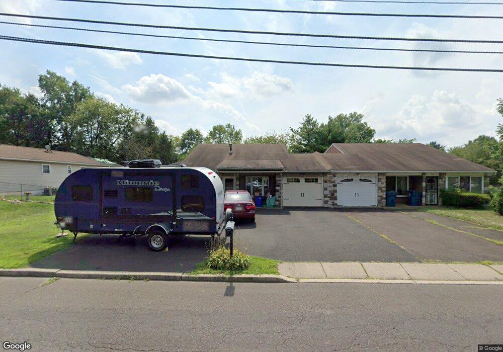
624 Schwab Rd Hatfield, PA 19440
Estimated Value: $324,000 - $437,017
3
Beds
2
Baths
1,277
Sq Ft
$290/Sq Ft
Est. Value
About This Home
This home is located at 624 Schwab Rd, Hatfield, PA 19440 and is currently estimated at $370,254, approximately $289 per square foot. 624 Schwab Rd is a home located in Montgomery County with nearby schools including Oak Park El School, Penndale Middle School, and North Penn Senior High School.
Ownership History
Date
Name
Owned For
Owner Type
Purchase Details
Closed on
Sep 18, 1990
Bought by
Hawkins Kaye M Arner
Current Estimated Value
Create a Home Valuation Report for This Property
The Home Valuation Report is an in-depth analysis detailing your home's value as well as a comparison with similar homes in the area
Home Values in the Area
Average Home Value in this Area
Purchase History
| Date | Buyer | Sale Price | Title Company |
|---|---|---|---|
| Hawkins Kaye M Arner | -- | -- |
Source: Public Records
Tax History Compared to Growth
Tax History
| Year | Tax Paid | Tax Assessment Tax Assessment Total Assessment is a certain percentage of the fair market value that is determined by local assessors to be the total taxable value of land and additions on the property. | Land | Improvement |
|---|---|---|---|---|
| 2025 | $4,984 | $124,490 | $48,310 | $76,180 |
| 2024 | $4,984 | $124,490 | $48,310 | $76,180 |
| 2023 | $4,770 | $124,490 | $48,310 | $76,180 |
| 2022 | $4,615 | $124,490 | $48,310 | $76,180 |
| 2021 | $4,484 | $124,490 | $48,310 | $76,180 |
| 2020 | $4,378 | $124,490 | $48,310 | $76,180 |
| 2019 | $4,305 | $124,490 | $48,310 | $76,180 |
| 2018 | $4,306 | $124,490 | $48,310 | $76,180 |
| 2017 | $4,140 | $124,490 | $48,310 | $76,180 |
| 2016 | $4,092 | $124,490 | $48,310 | $76,180 |
| 2015 | $3,928 | $124,490 | $48,310 | $76,180 |
| 2014 | $3,928 | $124,490 | $48,310 | $76,180 |
Source: Public Records
Map
Nearby Homes
- 816 Kenilworth Ave
- 302 W 8th St Unit 21
- 1315 Deer Run Rd
- 732 Cowpath Rd
- 9 Fortuna Dr
- 8 Fortuna Dr
- 5 Fortuna Dr
- 6 Fortuna Dr
- 1028 Poplar St Unit 75
- Warwick Plan at Sterling Walk
- Stratford Plan at Sterling Walk
- 1226 Cabin Rd
- 401 Sadie Ave
- 833 W 4th St
- 381 Sydney Ave
- 373 Sydney Ln
- 375 Sydney Ln
- 129 W Fifth St
- 1035 Forest Ave
- 204 N Valley Forge Rd Unit 7B
- 628 Schwab Rd
- 620 Schwab Rd
- 612 Schwab Rd
- 632 Schwab Rd
- 616 Schwab Rd
- 843 Andover Rd
- 845 Andover Rd
- 839 Andover Rd
- 841 Andover Rd
- 849 Andover Rd
- 851 Andover Rd
- 853 Andover Rd
- 835 Andover Rd Unit 12
- 855 Andover Rd
- 636 Schwab Rd
- 833 Andover Rd
- 629 Schwab Rd
- 861 Andover Rd
- 831 Andover Rd
- 863 Andover Rd