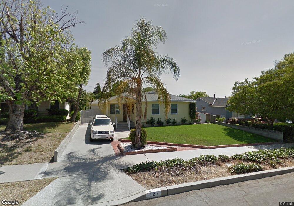
626 Price Dr Burbank, CA 91504
Hillside District NeighborhoodEstimated Value: $1,274,342 - $1,466,000
4
Beds
3
Baths
1,671
Sq Ft
$831/Sq Ft
Est. Value
About This Home
This home is located at 626 Price Dr, Burbank, CA 91504 and is currently estimated at $1,388,336, approximately $830 per square foot. 626 Price Dr is a home located in Los Angeles County with nearby schools including Thomas Jefferson Elementary School, John Muir Middle School, and Burbank High School.
Ownership History
Date
Name
Owned For
Owner Type
Purchase Details
Closed on
Jan 21, 2008
Sold by
Goldstein Ronald F and Okuda Akiko
Bought by
Goldstein Ronald F and Okuda Akiko
Current Estimated Value
Purchase Details
Closed on
Mar 3, 2000
Sold by
Naugle Family Trust and Julie Ann
Bought by
Goldstein Ronald F and Okuda Akiko
Home Financials for this Owner
Home Financials are based on the most recent Mortgage that was taken out on this home.
Original Mortgage
$190,000
Interest Rate
8.24%
Purchase Details
Closed on
Jul 3, 1995
Sold by
Naugle Elmer H and Naugle Shirley H
Bought by
Naugle Elmer H and Naugle Shirley H
Create a Home Valuation Report for This Property
The Home Valuation Report is an in-depth analysis detailing your home's value as well as a comparison with similar homes in the area
Home Values in the Area
Average Home Value in this Area
Purchase History
| Date | Buyer | Sale Price | Title Company |
|---|---|---|---|
| Goldstein Ronald F | -- | None Available | |
| Goldstein Ronald F | $290,000 | Old Republic Title | |
| Naugle Elmer H | -- | -- |
Source: Public Records
Mortgage History
| Date | Status | Borrower | Loan Amount |
|---|---|---|---|
| Previous Owner | Goldstein Ronald F | $190,000 |
Source: Public Records
Tax History
| Year | Tax Paid | Tax Assessment Tax Assessment Total Assessment is a certain percentage of the fair market value that is determined by local assessors to be the total taxable value of land and additions on the property. | Land | Improvement |
|---|---|---|---|---|
| 2025 | $6,095 | $542,642 | $337,657 | $204,985 |
| 2024 | $6,095 | $532,003 | $331,037 | $200,966 |
| 2023 | $6,032 | $521,573 | $324,547 | $197,026 |
| 2022 | $5,760 | $511,347 | $318,184 | $193,163 |
| 2021 | $5,733 | $501,322 | $311,946 | $189,376 |
| 2019 | $5,504 | $486,455 | $302,695 | $183,760 |
| 2018 | $5,407 | $476,917 | $296,760 | $180,157 |
| 2016 | $5,127 | $458,400 | $285,238 | $173,162 |
| 2015 | $5,024 | $451,515 | $280,954 | $170,561 |
| 2014 | $5,015 | $442,671 | $275,451 | $167,220 |
Source: Public Records
Map
Nearby Homes
- 2615 Woodstock Ln
- 2748 Mansfield Dr
- 2528 N Orchard Dr
- 2316 N Parish Place
- 2324 Harold Cir
- 2640 N Keystone St
- 2227 N Lamer St
- 441 Dartmouth Rd
- 1819 Richard St
- 505 Cambridge Dr
- 2625 N Lincoln St
- 2014 Peyton Ave
- 1814 Grismer Ave
- 1924 N Parish Place
- 1719 Landis St
- 3003 Mesa Verde Dr
- 430 Tufts Ave
- 1515 Grismer Ave Unit 102
- 1515 Grismer Ave Unit 302
- 2210 N Buena Vista St
- 620 Price Dr
- 632 Price Dr
- 627 Jamestown Rd
- 638 Price Dr
- 633 Jamestown Rd
- 1706 1706 Grismer Unit 205
- 0 Dobbs Rd Unit SR22098720
- 621 Jamestown Rd
- 639 Jamestown Rd
- 644 Price Dr
- 60 E Cor Ave F 60 Ste
- 0 Great Location Unit CC41763
- 627 Price Dr
- 621 Price Dr
- 645 Jamestown Rd
- 633 Price Dr
- 2619 Jolley Dr
- 2613 Jolley Dr
- 2625 Jolley Dr
- 639 Price Dr
Your Personal Tour Guide
Ask me questions while you tour the home.