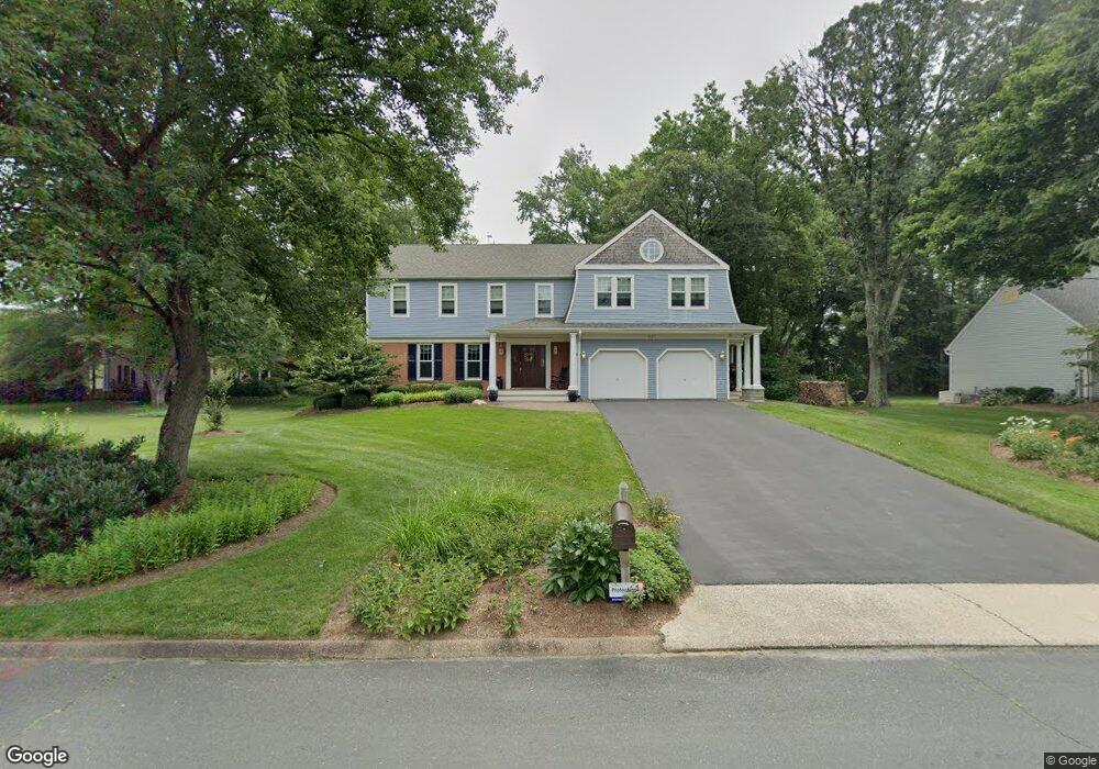
627 Basin Way Arnold, MD 21012
Estimated Value: $932,196 - $1,404,000
--
Bed
3
Baths
2,960
Sq Ft
$402/Sq Ft
Est. Value
About This Home
This home is located at 627 Basin Way, Arnold, MD 21012 and is currently estimated at $1,189,799, approximately $401 per square foot. 627 Basin Way is a home located in Anne Arundel County with nearby schools including Broadneck Elementary School, Magothy River Middle School, and Broadneck High School.
Ownership History
Date
Name
Owned For
Owner Type
Purchase Details
Closed on
Sep 26, 2019
Sold by
Coale Susan Mercer and Coale William Chase
Bought by
Coale William Chase and Coale Susan Mercer
Current Estimated Value
Purchase Details
Closed on
Dec 21, 2018
Sold by
Coale William C and Coale Susan M
Bought by
Coale William Chase and Coale Susan Mercer
Purchase Details
Closed on
Dec 10, 1993
Sold by
Sprague B K
Bought by
Coale William C
Home Financials for this Owner
Home Financials are based on the most recent Mortgage that was taken out on this home.
Original Mortgage
$200,000
Interest Rate
6.78%
Purchase Details
Closed on
Sep 19, 1989
Sold by
Sturm Thomas A
Bought by
Sprague Barbara K
Create a Home Valuation Report for This Property
The Home Valuation Report is an in-depth analysis detailing your home's value as well as a comparison with similar homes in the area
Home Values in the Area
Average Home Value in this Area
Purchase History
| Date | Buyer | Sale Price | Title Company |
|---|---|---|---|
| Coale William Chase | -- | None Available | |
| Coale William Chase | -- | None Available | |
| Coale William C | $280,000 | -- | |
| Sprague Barbara K | $255,000 | -- |
Source: Public Records
Mortgage History
| Date | Status | Borrower | Loan Amount |
|---|---|---|---|
| Open | Coale William C | $644,500 | |
| Closed | Coale William C | $200,000 |
Source: Public Records
Tax History Compared to Growth
Tax History
| Year | Tax Paid | Tax Assessment Tax Assessment Total Assessment is a certain percentage of the fair market value that is determined by local assessors to be the total taxable value of land and additions on the property. | Land | Improvement |
|---|---|---|---|---|
| 2025 | $6,203 | $662,967 | -- | -- |
| 2024 | $6,203 | $628,400 | $318,700 | $309,700 |
| 2023 | $6,057 | $623,800 | $0 | $0 |
| 2022 | $5,683 | $619,200 | $0 | $0 |
| 2021 | $11,176 | $614,600 | $318,700 | $295,900 |
| 2020 | $5,462 | $614,600 | $318,700 | $295,900 |
| 2019 | $5,381 | $614,600 | $318,700 | $295,900 |
| 2018 | $6,535 | $644,500 | $380,700 | $263,800 |
| 2017 | $5,117 | $642,467 | $0 | $0 |
| 2016 | -- | $640,433 | $0 | $0 |
| 2015 | -- | $638,400 | $0 | $0 |
| 2014 | -- | $625,067 | $0 | $0 |
Source: Public Records
Map
Nearby Homes
- 944 Placid Ct
- 404 Alameda Pkwy
- 909 Mallard Cir
- 994 Bayberry Dr
- 1182 Palmwood Ct
- 682 Carlisle Dr
- 1180 Mosswood Ct
- 339 Clifton Ave
- 507 Greenblades Ct
- 1043 Placid Ct
- 817 Riverside Dr
- 1249 Birchcrest Ct
- 515 Bay Hills Dr
- 445 Ruth Rd
- 1256 Crowell Ct
- 618 Andrew Hill Rd
- 599 Oakland Hills Dr Unit 1A
- 599 Oakland Hills Dr Unit 3A
- 633 Andrew Hill Rd
- 779 Match Point Dr