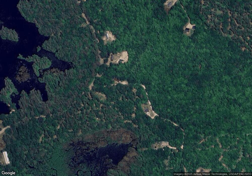
63 Jays Way Porter, ME 04068
Estimated Value: $242,000 - $438,290
3
Beds
1
Bath
1,590
Sq Ft
$231/Sq Ft
Est. Value
About This Home
This home is located at 63 Jays Way, Porter, ME 04068 and is currently estimated at $366,823, approximately $230 per square foot. 63 Jays Way is a home located in Oxford County.
Ownership History
Date
Name
Owned For
Owner Type
Purchase Details
Closed on
Nov 13, 2018
Sold by
Prior Jonathan R and Prior Deidrah P
Bought by
Tisbert Joshua D and Caron-Tisbert Caitlin A
Current Estimated Value
Home Financials for this Owner
Home Financials are based on the most recent Mortgage that was taken out on this home.
Original Mortgage
$185,576
Outstanding Balance
$162,843
Interest Rate
4.7%
Mortgage Type
FHA
Estimated Equity
$203,980
Purchase Details
Closed on
Nov 6, 2012
Sold by
Dufresne Shawn
Bought by
Prior Jonathan R and Prior Deidrah P
Create a Home Valuation Report for This Property
The Home Valuation Report is an in-depth analysis detailing your home's value as well as a comparison with similar homes in the area
Home Values in the Area
Average Home Value in this Area
Purchase History
| Date | Buyer | Sale Price | Title Company |
|---|---|---|---|
| Tisbert Joshua D | -- | -- | |
| Prior Jonathan R | -- | -- |
Source: Public Records
Mortgage History
| Date | Status | Borrower | Loan Amount |
|---|---|---|---|
| Open | Tisbert Joshua D | $185,576 |
Source: Public Records
Tax History Compared to Growth
Tax History
| Year | Tax Paid | Tax Assessment Tax Assessment Total Assessment is a certain percentage of the fair market value that is determined by local assessors to be the total taxable value of land and additions on the property. | Land | Improvement |
|---|---|---|---|---|
| 2024 | $3,190 | $268,044 | $75,200 | $192,844 |
| 2023 | $2,897 | $164,900 | $48,000 | $116,900 |
| 2022 | $2,738 | $164,945 | $48,000 | $116,945 |
| 2021 | $2,738 | $164,945 | $48,000 | $116,945 |
| 2020 | $2,674 | $164,243 | $48,000 | $116,243 |
| 2019 | $2,767 | $164,243 | $48,000 | $116,243 |
| 2018 | $2,767 | $164,243 | $48,000 | $116,243 |
| 2017 | $2,726 | $164,243 | $48,000 | $116,243 |
| 2016 | $2,480 | $164,243 | $48,000 | $116,243 |
Source: Public Records
Map
Nearby Homes
- 62 Eastman Hill Rd
- 206 Gilman Rd
- 87 First County Rd
- 607 Ossipee Trail
- R3-32 Ossipee Trail
- 248 Spec Pond Rd
- 00 Pratt Rd
- 241 Ossipee Trail
- 187 Huntress Bridge Rd
- 185 Huntress Bridge Rd
- 347 Brownfield Rd
- 43 Old Portland Rd
- 32 Summer St
- 37 Alpine Dr
- 338 North Rd
- Lot 10 Friedman
- 42 Pine St
- 8 Sunnydale Ln
- 00 Brownfield Rd
- 118 Round Pond Rd
- 63 Jay's Way
- 35 Jays Way
- 35 Jay's Way
- 52 Dam Rd
- 67 Jays Way
- 44 Dam Rd
- 32 Ironwood Rd
- 24 Dam Rd
- 76 Jays Way
- 754 Colcord Pond Rd
- 734 Colcord Pond Rd
- 121 Dam Rd
- 791 Colcord Pond Rd
- 125 Dam Rd
- 18 Beaver Run
- 722 Colcord Pond Rd
- 0000 Hubbard Farm Rd
- 515 Bickford Pond Rd
- 960 Colcord Pond Rd
- 495 Bickford Pond Rd
