63 Pocomo Rd Nantucket, MA 02554
Estimated Value: $3,827,000 - $6,165,580
4
Beds
4
Baths
1,470
Sq Ft
$3,680/Sq Ft
Est. Value
About This Home
This home is located at 63 Pocomo Rd, Nantucket, MA 02554 and is currently estimated at $5,409,395, approximately $3,679 per square foot. 63 Pocomo Rd is a home located in Nantucket County with nearby schools including Nantucket Elementary School, Cyrus Peirce Middle School, and Nantucket High School.
Ownership History
Date
Name
Owned For
Owner Type
Purchase Details
Closed on
Feb 5, 2025
Sold by
Barrett Peter and Barrett Mary V
Bought by
Cosi T T and Cosi Barrett
Current Estimated Value
Purchase Details
Closed on
Sep 29, 2000
Sold by
Wislocki George S and Wislocki Alice G
Bought by
Barrett Peter and Barrett Mary V
Create a Home Valuation Report for This Property
The Home Valuation Report is an in-depth analysis detailing your home's value as well as a comparison with similar homes in the area
Home Values in the Area
Average Home Value in this Area
Purchase History
| Date | Buyer | Sale Price | Title Company |
|---|---|---|---|
| Cosi T T | -- | None Available | |
| Barrett Peter | $2,325,000 | -- | |
| Barrett Peter | $2,325,000 | -- |
Source: Public Records
Mortgage History
| Date | Status | Borrower | Loan Amount |
|---|---|---|---|
| Previous Owner | Barrett Peter | $1,000,000 |
Source: Public Records
Tax History Compared to Growth
Tax History
| Year | Tax Paid | Tax Assessment Tax Assessment Total Assessment is a certain percentage of the fair market value that is determined by local assessors to be the total taxable value of land and additions on the property. | Land | Improvement |
|---|---|---|---|---|
| 2025 | $16,836 | $5,132,799 | $4,433,399 | $699,400 |
| 2024 | $17,241 | $5,508,412 | $4,818,912 | $689,500 |
| 2023 | $15,203 | $4,736,248 | $4,224,748 | $511,500 |
| 2022 | $11,763 | $3,145,242 | $2,753,642 | $391,600 |
| 2021 | $12,528 | $3,451,200 | $3,059,600 | $391,600 |
| 2020 | $11,977 | $3,471,500 | $3,059,600 | $411,900 |
| 2019 | $11,664 | $3,471,500 | $3,059,600 | $411,900 |
| 2018 | $13,623 | $3,859,300 | $3,487,900 | $371,400 |
| 2017 | $13,049 | $3,849,200 | $3,487,900 | $361,300 |
| 2016 | $12,488 | $3,716,800 | $3,365,600 | $351,200 |
| 2015 | $12,562 | $3,479,800 | $3,159,000 | $320,800 |
| 2014 | $12,899 | $3,430,600 | $3,109,800 | $320,800 |
Source: Public Records
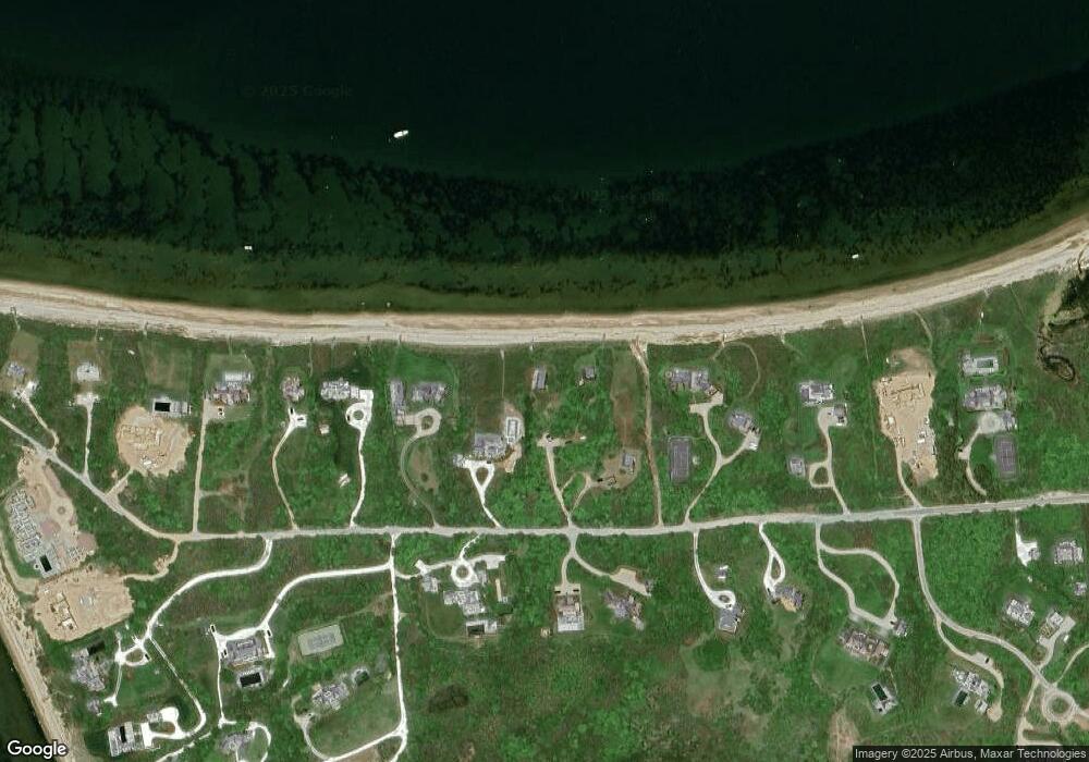
Map
Nearby Homes
- 1 Weetamo Rd
- 13 Eat Fire Spring Rd
- 256 Polpis Rd
- 240 Polpis Rd
- 5 Brier Patch Rd
- 21 Quidnet Rd
- 4 Shawkemo Hills Ln
- 41 Quidnet Rd
- 20 N Pasture Ln
- 21 N Pasture Ln
- 12 N Pasture Ln
- 1,3,&3A Reeds Way
- 3 & 3A Reeds Way
- 5 Upper Tawpawshaw Rd
- 59 Polpis Rd
- 37 Sankaty Head Rd
- 12 & 13 Shimmo Pond Rd
- 4 Cathcart Rd
- 52 Monomoy Rd
- 25B Park Cir Unit 25B