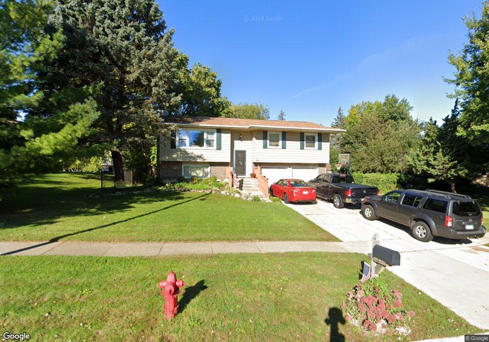
630 Circle Dr Algonquin, IL 60102
Estimated Value: $378,830 - $410,000
3
Beds
3
Baths
1,247
Sq Ft
$313/Sq Ft
Est. Value
About This Home
This home is located at 630 Circle Dr, Algonquin, IL 60102 and is currently estimated at $390,708, approximately $313 per square foot. 630 Circle Dr is a home located in McHenry County with nearby schools including Westfield Community School, Kenneth E Neubert Elementary School, and Harry D Jacobs High School.
Ownership History
Date
Name
Owned For
Owner Type
Purchase Details
Closed on
Aug 25, 1995
Sold by
Murphy Timothy S
Bought by
Reynolds Steven E and Reynolds Carol E
Current Estimated Value
Home Financials for this Owner
Home Financials are based on the most recent Mortgage that was taken out on this home.
Original Mortgage
$141,998
Interest Rate
8%
Mortgage Type
Assumption
Create a Home Valuation Report for This Property
The Home Valuation Report is an in-depth analysis detailing your home's value as well as a comparison with similar homes in the area
Purchase History
| Date | Buyer | Sale Price | Title Company |
|---|---|---|---|
| Reynolds Steven E | $150,000 | Attorneys Natl Title Network |
Source: Public Records
Mortgage History
| Date | Status | Borrower | Loan Amount |
|---|---|---|---|
| Closed | Reynolds Steven E | $141,998 |
Source: Public Records
Tax History
| Year | Tax Paid | Tax Assessment Tax Assessment Total Assessment is a certain percentage of the fair market value that is determined by local assessors to be the total taxable value of land and additions on the property. | Land | Improvement |
|---|---|---|---|---|
| 2024 | $6,959 | $104,953 | $24,678 | $80,275 |
| 2023 | $6,518 | $93,867 | $22,071 | $71,796 |
| 2022 | $5,841 | $79,107 | $21,044 | $58,063 |
| 2021 | $5,563 | $73,698 | $19,605 | $54,093 |
| 2020 | $5,396 | $71,089 | $18,911 | $52,178 |
| 2019 | $5,238 | $68,041 | $18,100 | $49,941 |
| 2018 | $4,943 | $62,856 | $16,721 | $46,135 |
| 2017 | $4,801 | $59,214 | $15,752 | $43,462 |
| 2016 | $5,209 | $55,537 | $14,774 | $40,763 |
| 2013 | -- | $53,209 | $13,783 | $39,426 |
Source: Public Records
Map
Nearby Homes
- 615 Harper Dr
- 21 Division St
- 730 Chestnut Ct
- 407 La Fox River Dr
- 0 River Dr N Unit MRD12473279
- Lot #3-5 Hayes Rd
- 600 E Algonquin Rd
- 1 N Hubbard St
- SWC Talaga and Algonquin Rd
- 720 Ash St
- 719 Webster St
- 308 Rustic Ln
- 13 Brian Ct
- 909 Roger St
- 0 Natoma Trail
- 953 Old Oak Cir
- 1188 E Algonquin Rd
- 700 Fairfield Ln
- 1431 Essex St
- 1105 Spring Hill Dr
Your Personal Tour Guide
Ask me questions while you tour the home.