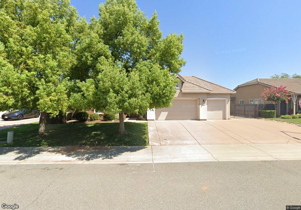
632 Rivercrest Pkwy Redding, CA 96002
South Bechelli NeighborhoodEstimated Value: $493,000 - $545,000
4
Beds
2
Baths
2,077
Sq Ft
$248/Sq Ft
Est. Value
About This Home
This home is located at 632 Rivercrest Pkwy, Redding, CA 96002 and is currently estimated at $515,280, approximately $248 per square foot. 632 Rivercrest Pkwy is a home located in Shasta County with nearby schools including Lassen View Elementary School, Parsons Junior High School, and Enterprise High School.
Ownership History
Date
Name
Owned For
Owner Type
Purchase Details
Closed on
Jun 20, 2011
Sold by
Smith Michael R and Smith Margaret M
Bought by
Smith Michael R and Smith Margaret M
Current Estimated Value
Purchase Details
Closed on
Apr 15, 2008
Sold by
D R Horton Inc Sacramento
Bought by
Smith Michael R and Smith Margaret M
Home Financials for this Owner
Home Financials are based on the most recent Mortgage that was taken out on this home.
Original Mortgage
$268,000
Outstanding Balance
$169,944
Interest Rate
5.99%
Mortgage Type
Purchase Money Mortgage
Estimated Equity
$345,336
Create a Home Valuation Report for This Property
The Home Valuation Report is an in-depth analysis detailing your home's value as well as a comparison with similar homes in the area
Home Values in the Area
Average Home Value in this Area
Purchase History
| Date | Buyer | Sale Price | Title Company |
|---|---|---|---|
| Smith Michael R | -- | None Available | |
| Smith Michael R | $335,000 | Fidelity National Title Co |
Source: Public Records
Mortgage History
| Date | Status | Borrower | Loan Amount |
|---|---|---|---|
| Open | Smith Michael R | $268,000 |
Source: Public Records
Tax History Compared to Growth
Tax History
| Year | Tax Paid | Tax Assessment Tax Assessment Total Assessment is a certain percentage of the fair market value that is determined by local assessors to be the total taxable value of land and additions on the property. | Land | Improvement |
|---|---|---|---|---|
| 2025 | $5,063 | $449,363 | $131,343 | $318,020 |
| 2024 | $4,983 | $440,553 | $128,768 | $311,785 |
| 2023 | $4,983 | $431,916 | $126,244 | $305,672 |
| 2022 | $4,837 | $423,448 | $123,769 | $299,679 |
| 2021 | $4,622 | $410,000 | $75,000 | $335,000 |
| 2020 | $4,433 | $395,000 | $75,000 | $320,000 |
| 2019 | $4,007 | $360,000 | $75,000 | $285,000 |
| 2018 | $3,773 | $340,000 | $75,000 | $265,000 |
| 2017 | $4,039 | $335,000 | $75,000 | $260,000 |
| 2016 | $3,661 | $318,000 | $75,000 | $243,000 |
| 2015 | $3,369 | $300,000 | $70,000 | $230,000 |
| 2014 | $3,422 | $300,000 | $70,000 | $230,000 |
Source: Public Records
Map
Nearby Homes
- 723 Woodacre Dr
- 4463 Pike Ct
- 4218 Jane St
- 595 Rafael St
- 609 Dee Ct
- 4323 Churn Crk Rd
- 1000 Monterra Ln
- 1198 Denton Way
- 3708 Traverse St
- 3690 Victoire Way
- 5367 Rosswood Ln
- 5587 Indianwood Dr
- 5386 Elm Ln
- 3591 Adams Ln
- 855 Jefferson Ct
- 3540 Ricardo Ave
- 1153 Ruthie Ln
- 3703 Harrow Ct
- 3527 Adams Ln
- 3385 Pioneer Ln
- 622 Rivercrest Pkwy
- 642 Rivercrest Pkwy
- 643 Woodacre Dr
- 655 Woodacre Dr
- 631 Woodacre Dr
- 612 Rivercrest Pkwy
- 652 Rivercrest Pkwy
- 667 Woodacre Dr
- 631 Rivercrest Pkwy
- 643 Rivercrest Pkwy
- 619 Woodacre Dr
- 619 Rivercrest Pkwy
- Lot 39 Woodacre Dr
- 0 Woodacre Dr
- 655 Rivercrest Pkwy
- 602 Rivercrest Pkwy
- 662 Rivercrest Pkwy
- 679 Woodacre Dr
- 18979 Rivercrest Pkwy
- 19005 Rivercrest Pkwy