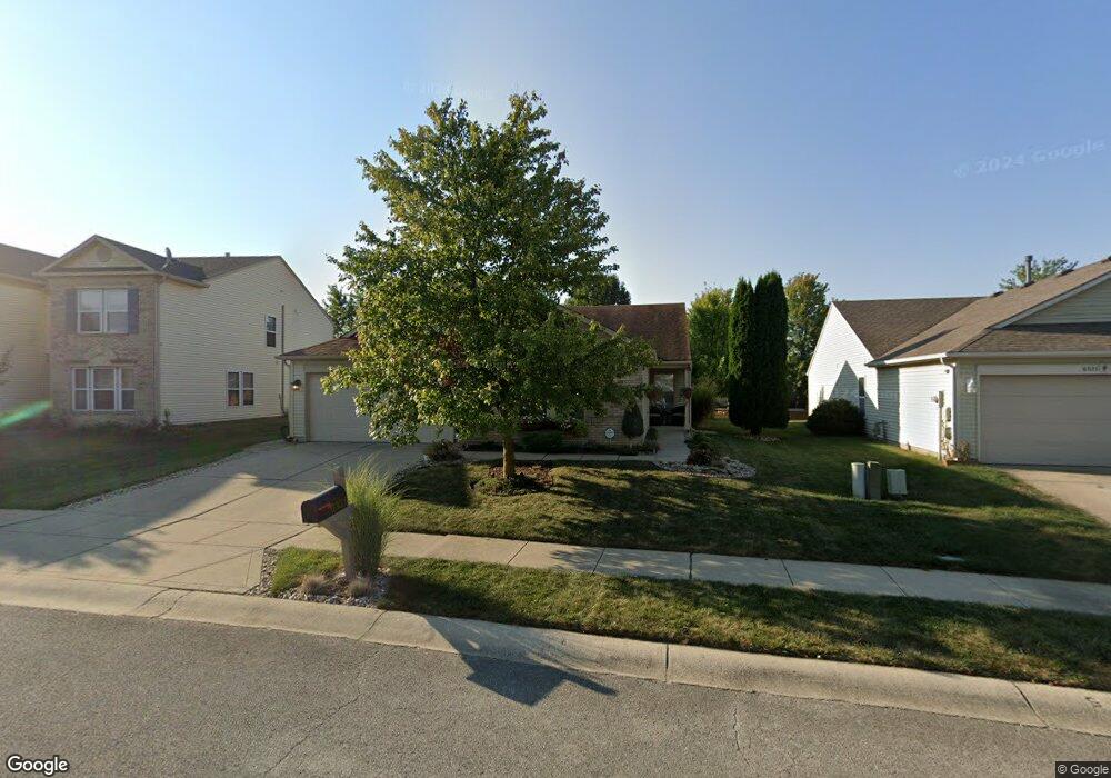
6331 Eastern Range Rd Indianapolis, IN 46234
Estimated Value: $283,427 - $294,000
3
Beds
2
Baths
1,782
Sq Ft
$162/Sq Ft
Est. Value
About This Home
This home is located at 6331 Eastern Range Rd, Indianapolis, IN 46234 and is currently estimated at $288,357, approximately $161 per square foot. 6331 Eastern Range Rd is a home located in Hendricks County with nearby schools including White Lick Elementary School, Brownsburg West Middle School, and Brownsburg High School.
Ownership History
Date
Name
Owned For
Owner Type
Purchase Details
Closed on
Sep 26, 2008
Sold by
Dudley Glenda A
Bought by
Jones Emily C
Current Estimated Value
Home Financials for this Owner
Home Financials are based on the most recent Mortgage that was taken out on this home.
Original Mortgage
$113,700
Outstanding Balance
$73,977
Interest Rate
6.41%
Mortgage Type
FHA
Estimated Equity
$214,380
Create a Home Valuation Report for This Property
The Home Valuation Report is an in-depth analysis detailing your home's value as well as a comparison with similar homes in the area
Home Values in the Area
Average Home Value in this Area
Purchase History
| Date | Buyer | Sale Price | Title Company |
|---|---|---|---|
| Jones Emily C | -- | None Available |
Source: Public Records
Mortgage History
| Date | Status | Borrower | Loan Amount |
|---|---|---|---|
| Open | Jones Emily C | $113,700 |
Source: Public Records
Tax History
| Year | Tax Paid | Tax Assessment Tax Assessment Total Assessment is a certain percentage of the fair market value that is determined by local assessors to be the total taxable value of land and additions on the property. | Land | Improvement |
|---|---|---|---|---|
| 2025 | $2,502 | $254,700 | $42,900 | $211,800 |
| 2024 | $2,502 | $250,200 | $42,900 | $207,300 |
| 2023 | $2,297 | $234,100 | $38,600 | $195,500 |
| 2022 | $2,158 | $221,100 | $35,800 | $185,300 |
| 2021 | $1,679 | $180,200 | $33,700 | $146,500 |
| 2020 | $1,469 | $162,800 | $33,700 | $129,100 |
| 2019 | $1,324 | $152,300 | $32,100 | $120,200 |
| 2018 | $1,236 | $144,300 | $32,100 | $112,200 |
| 2017 | $1,150 | $136,400 | $30,300 | $106,100 |
| 2016 | $1,102 | $133,000 | $30,300 | $102,700 |
| 2014 | $995 | $122,400 | $28,900 | $93,500 |
Source: Public Records
Map
Nearby Homes
- 10056 Clear Creek Cir
- 10105 Yosemite Ln
- 10275 Memorial Knoll Dr
- 10311 Gateway Dr
- 10436 Kings Gap Way
- 10358 River Park Way
- 6541 Westland Dr
- 10326 Haag Dr
- 6761 Branches Dr
- 6433 Lakeland Blvd
- 10308 Legacy Dr
- 5573 Newport Ave
- 5920 Independence Ave
- 1409 Berry Lake Way
- 1432 Hession Dr
- 853 Settlers Walk
- 10616 E County Road 600 N
- 6929 Hornbeam Cir
- 6586 Leah Ct
- 7222 Oak Trace Ln
- 6325 Eastern Range Rd
- 6339 Eastern Range Rd
- 10100 Split Rock Way
- 10088 Split Rock Way
- 6347 Eastern Range Rd
- 6317 Eastern Range Rd
- 10076 Split Rock Way
- 6340 Eastern Range Rd
- 6330 Eastern Range Rd
- 6355 Eastern Range Rd
- 6307 Eastern Range Rd
- 10124 Split Rock Way
- 10124 Split Rock Way
- 10064 Split Rock Way
- 6320 Eastern Range Rd
- 6350 Eastern Range Rd
- 10136 Split Rock Way
- 6301 Eastern Range Rd
- 6361 Eastern Range Rd
- 10052 Split Rock Way
Your Personal Tour Guide
Ask me questions while you tour the home.