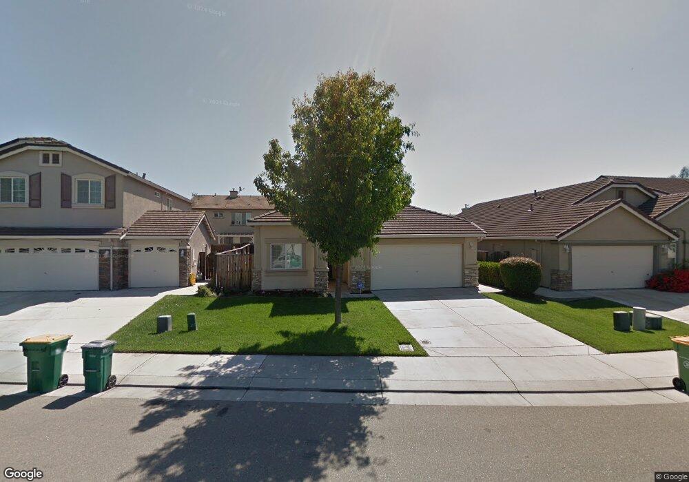
6363 Crestview Cir Unit 20 Stockton, CA 95219
Spanos Park West NeighborhoodEstimated Value: $461,000 - $509,000
3
Beds
2
Baths
1,684
Sq Ft
$292/Sq Ft
Est. Value
About This Home
This home is located at 6363 Crestview Cir Unit 20, Stockton, CA 95219 and is currently estimated at $491,669, approximately $291 per square foot. 6363 Crestview Cir Unit 20 is a home located in San Joaquin County with nearby schools including Manlio Silva Elementary School, Christa McAuliffe Middle School, and Bear Creek High School.
Ownership History
Date
Name
Owned For
Owner Type
Purchase Details
Closed on
Nov 17, 2014
Sold by
Flint William W
Bought by
Flint William W and Flint Vianca T
Current Estimated Value
Home Financials for this Owner
Home Financials are based on the most recent Mortgage that was taken out on this home.
Original Mortgage
$198,500
Outstanding Balance
$151,608
Interest Rate
3.92%
Mortgage Type
New Conventional
Estimated Equity
$340,061
Purchase Details
Closed on
Jan 16, 2004
Sold by
Kimball Hill Homes Ca Inc
Bought by
Flint William W
Home Financials for this Owner
Home Financials are based on the most recent Mortgage that was taken out on this home.
Original Mortgage
$190,000
Interest Rate
5.86%
Mortgage Type
Purchase Money Mortgage
Create a Home Valuation Report for This Property
The Home Valuation Report is an in-depth analysis detailing your home's value as well as a comparison with similar homes in the area
Home Values in the Area
Average Home Value in this Area
Purchase History
| Date | Buyer | Sale Price | Title Company |
|---|---|---|---|
| Flint William W | -- | Lawyers Title | |
| Flint William W | $269,500 | First Amer Title Co |
Source: Public Records
Mortgage History
| Date | Status | Borrower | Loan Amount |
|---|---|---|---|
| Open | Flint William W | $198,500 | |
| Closed | Flint William W | $190,000 |
Source: Public Records
Tax History Compared to Growth
Tax History
| Year | Tax Paid | Tax Assessment Tax Assessment Total Assessment is a certain percentage of the fair market value that is determined by local assessors to be the total taxable value of land and additions on the property. | Land | Improvement |
|---|---|---|---|---|
| 2025 | $5,675 | $382,934 | $113,737 | $269,197 |
| 2024 | $5,516 | $375,426 | $111,507 | $263,919 |
| 2023 | $5,481 | $368,066 | $109,321 | $258,745 |
| 2022 | $5,378 | $360,850 | $107,178 | $253,672 |
| 2021 | $5,459 | $353,776 | $105,077 | $248,699 |
| 2020 | $5,347 | $350,149 | $104,000 | $246,149 |
| 2019 | $5,241 | $343,284 | $101,961 | $241,323 |
| 2018 | $5,170 | $336,554 | $99,962 | $236,592 |
| 2017 | $5,082 | $329,955 | $98,002 | $231,953 |
| 2016 | $4,587 | $291,000 | $86,000 | $205,000 |
| 2014 | $3,945 | $232,000 | $70,000 | $162,000 |
Source: Public Records
Map
Nearby Homes
- 6290 Crestview Cir
- 6502 Crestview Cir Unit 21
- 5969 Silveroak Cir Unit 19
- 10844 Lakemore Ln
- 10866 Merritt Dr Unit 19
- 5914 Silver Oak Cir
- 10831 Meadowmont Way
- 10599 Rubicon Ave Unit 14
- 5651 Westchester Cir
- 6707 Oakum Way
- 5953 Pebblestone Way
- 5549 Ridgeview Cir
- 5920 Poppy Shores Way
- 6808 Don Conti Ln
- 6902 Tailwind Ln
- 10305 Bridgeview Ln
- 10332 Crab Apple Dr
- 10342 Mono Ct
- 10414 Cobble Creek Way
- 10426 Cobble Creek Way
- 6355 Crestview Cir Unit 20
- 6371 Crestview Cir
- 6041 Silveroak Cir
- 6047 Silveroak Cir Unit Ci
- 6047 Silveroak Cir
- 6351 Crestview Cir
- 6347 Crestview Cir
- 6053 Silveroak Cir Unit Ci
- 6053 Silveroak Cir
- 6379 Crestview Cir Unit 20
- 6339 Crestview Cir
- 6035 Silveroak Cir
- 6360 Crestview Cir Unit 20
- 6368 Crestview Cir
- 6059 Silveroak Cir
- 6352 Crestview Cir
- 6387 Crestview Cir
- 6344 Crestview Cir Unit 20
- 6331 Crestview Cir
- 6395 Crestview Cir