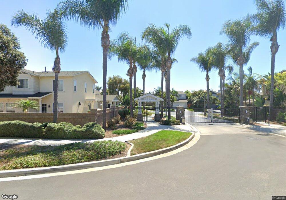
637 Sandside Ct Carlsbad, CA 92011
South Beach NeighborhoodEstimated Value: $1,958,670 - $2,217,000
4
Beds
3
Baths
2,468
Sq Ft
$844/Sq Ft
Est. Value
About This Home
This home is located at 637 Sandside Ct, Carlsbad, CA 92011 and is currently estimated at $2,082,418, approximately $843 per square foot. 637 Sandside Ct is a home located in San Diego County with nearby schools including Pacific Rim Elementary, Aviara Oaks Middle, and Carlsbad High School.
Ownership History
Date
Name
Owned For
Owner Type
Purchase Details
Closed on
Feb 16, 2017
Sold by
Correa Sergio and Correa Maria E
Bought by
Correa Sergio and Correa Maria E
Current Estimated Value
Purchase Details
Closed on
Aug 26, 2003
Sold by
Wl Homes Llc
Bought by
Correa Sergio and Correa Maria E
Home Financials for this Owner
Home Financials are based on the most recent Mortgage that was taken out on this home.
Original Mortgage
$518,650
Interest Rate
5.25%
Mortgage Type
New Conventional
Create a Home Valuation Report for This Property
The Home Valuation Report is an in-depth analysis detailing your home's value as well as a comparison with similar homes in the area
Home Values in the Area
Average Home Value in this Area
Purchase History
| Date | Buyer | Sale Price | Title Company |
|---|---|---|---|
| Correa Sergio | -- | None Available | |
| Correa Sergio | $648,500 | Fidelity National Title Co |
Source: Public Records
Mortgage History
| Date | Status | Borrower | Loan Amount |
|---|---|---|---|
| Previous Owner | Correa Sergio | $518,650 | |
| Closed | Correa Sergio | $64,830 |
Source: Public Records
Tax History
| Year | Tax Paid | Tax Assessment Tax Assessment Total Assessment is a certain percentage of the fair market value that is determined by local assessors to be the total taxable value of land and additions on the property. | Land | Improvement |
|---|---|---|---|---|
| 2025 | $10,432 | $921,761 | $483,403 | $438,358 |
| 2024 | $10,432 | $903,688 | $473,925 | $429,763 |
| 2023 | $10,382 | $885,970 | $464,633 | $421,337 |
| 2022 | $10,233 | $868,599 | $455,523 | $413,076 |
| 2021 | $10,161 | $851,569 | $446,592 | $404,977 |
| 2020 | $10,098 | $842,838 | $442,013 | $400,825 |
| 2019 | $9,929 | $826,313 | $433,347 | $392,966 |
| 2018 | $9,543 | $810,111 | $424,850 | $385,261 |
| 2017 | $90 | $794,227 | $416,520 | $377,707 |
| 2016 | $9,052 | $778,654 | $408,353 | $370,301 |
| 2015 | $9,018 | $766,959 | $402,220 | $364,739 |
| 2014 | $8,880 | $751,937 | $394,342 | $357,595 |
Source: Public Records
Map
Nearby Homes
- 609 Saltgrass Ave
- 6801 Embarcadero Ln
- 6550 Ponto Dr Unit 17
- 6550 Ponto Dr Unit 76
- 6550 Ponto Dr Unit 135
- 6550 Ponto Dr Unit 78
- 6550 Ponto Dr Unit 110
- 6550 Ponto Dr Unit 14
- 6550 Ponto Dr Unit SPC 39
- 6550 Ponto Dr Unit 60
- 6550 Ponto Dr Unit 5
- 6871 Seaspray Ln
- 816 Caminito Azul
- 6951 Quiet Cove Dr
- 6936 Quiet Cove Dr
- 7025 San Bartolo St Unit 42
- 7218 San Lucas St Unit 189
- 7207 Santa Barbara St Unit 154
- 7008 San Bartolo St Unit 27
- 7023 San Carlos St Unit 75
- 633 Sandside Ct
- 6919 Clearwater St
- 629 Sandside Ct
- 622 Strand St
- 6923 Clearwater St
- 6916 Clearwater St
- 6920 Clearwater St
- 636 Sandside Ct
- 625 Sandside Ct
- 618 Strand St
- 632 Sandside Ct
- 642 Sandside Ct
- 6924 Clearwater St
- 6927 Clearwater St
- 628 Sandside Ct
- 646 Sandside Ct
- 6928 Clearwater St
- 621 Sandside Ct
- 614 Strand St
- 624 Sandside Ct