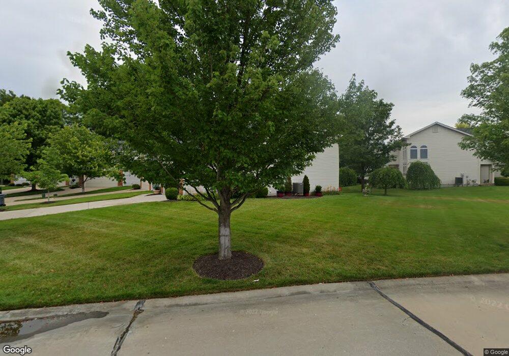
639 Hawk Run Dr O Fallon, MO 63368
Estimated Value: $331,751 - $428,000
2
Beds
3
Baths
1,916
Sq Ft
$190/Sq Ft
Est. Value
About This Home
This home is located at 639 Hawk Run Dr, O Fallon, MO 63368 and is currently estimated at $363,688, approximately $189 per square foot. 639 Hawk Run Dr is a home located in St. Charles County with nearby schools including Crossroads Elementary School, Frontier Middle School, and Liberty High School.
Ownership History
Date
Name
Owned For
Owner Type
Purchase Details
Closed on
Oct 31, 2000
Sold by
Mayer Custom Homes Inc
Bought by
White Terry L and White Nadine F
Current Estimated Value
Home Financials for this Owner
Home Financials are based on the most recent Mortgage that was taken out on this home.
Original Mortgage
$134,850
Interest Rate
7.87%
Create a Home Valuation Report for This Property
The Home Valuation Report is an in-depth analysis detailing your home's value as well as a comparison with similar homes in the area
Home Values in the Area
Average Home Value in this Area
Purchase History
| Date | Buyer | Sale Price | Title Company |
|---|---|---|---|
| White Terry L | $168,563 | -- |
Source: Public Records
Mortgage History
| Date | Status | Borrower | Loan Amount |
|---|---|---|---|
| Previous Owner | White Terry L | $134,850 |
Source: Public Records
Tax History
| Year | Tax Paid | Tax Assessment Tax Assessment Total Assessment is a certain percentage of the fair market value that is determined by local assessors to be the total taxable value of land and additions on the property. | Land | Improvement |
|---|---|---|---|---|
| 2025 | $4,057 | $58,270 | -- | -- |
| 2023 | $4,060 | $59,218 | $0 | $0 |
| 2022 | $3,407 | $46,270 | $0 | $0 |
| 2021 | $3,415 | $46,270 | $0 | $0 |
| 2020 | $3,263 | $42,505 | $0 | $0 |
| 2019 | $3,063 | $42,505 | $0 | $0 |
| 2018 | $3,077 | $40,637 | $0 | $0 |
| 2017 | $3,052 | $40,637 | $0 | $0 |
| 2016 | $2,423 | $30,927 | $0 | $0 |
| 2015 | $2,387 | $30,927 | $0 | $0 |
| 2014 | $2,130 | $29,617 | $0 | $0 |
Source: Public Records
Map
Nearby Homes
- 603 Hawk Run Dr
- 112 Wake Forest Place
- 120 Wake Forest Place
- 2132 Bates Rd
- 702 Balcarra Dr
- 161 Bayhill Village Dr
- 158 Bayhill Village Dr
- 164 Bayhill Village Dr
- 318 Copper Tree Ct
- 2026 Avalon Mist Cir
- 344 Royal Dornoch Ct
- 615 Thornridge Dr
- 3605 Post Valley Ct
- 7839 Town Square Ave
- 7817 Town Square Ave
- 239 Kerry Downs Dr
- 0 Unknown Unit MIS22064590
- 0 Unknown Unit MIS25074879
- 0 Unknown Unit MIS22064605
- 0 Unknown Unit MIS22064597
- 637 Hawk Run Dr
- 641 Hawk Run Dr
- 641 Hawk Run Dr Unit 21A
- 635 Hawk Run Dr
- 635 Hawk Run Dr Unit 18A
- 643 Hawk Run Dr
- 622 Hawk Run Dr
- 626 Hawk Run Dr
- 628 Hawk Run Dr
- 633 Hawk Run Dr
- 630 Hawk Run Dr
- 645 Hawk Run Dr
- 632 Hawk Run Dr
- 620 Hawk Run Dr
- 625 Hawk Run Dr
- 7632 Pierside Dr
- 627 Hawk Run Dr
- 631 Hawk Run Dr
- 629 Hawk Run Dr
- 634 Hawk Run Dr
Your Personal Tour Guide
Ask me questions while you tour the home.