64 Brunelle Rd Heath, MA 01346
Heath NeighborhoodEstimated Value: $281,510 - $447,000
3
Beds
2
Baths
1,542
Sq Ft
$231/Sq Ft
Est. Value
About This Home
This home is located at 64 Brunelle Rd, Heath, MA 01346 and is currently estimated at $356,378, approximately $231 per square foot. 64 Brunelle Rd is a home with nearby schools including Mohawk Trail Regional High School.
Ownership History
Date
Name
Owned For
Owner Type
Purchase Details
Closed on
Jun 5, 2025
Sold by
Tierney John R and Tierney Patricia E
Bought by
Tierney Int and Tierney T
Current Estimated Value
Purchase Details
Closed on
Sep 27, 2001
Sold by
Thane Arlene M
Bought by
Tierney John R and Tierney Patricia E
Home Financials for this Owner
Home Financials are based on the most recent Mortgage that was taken out on this home.
Original Mortgage
$112,625
Interest Rate
6.91%
Mortgage Type
Purchase Money Mortgage
Create a Home Valuation Report for This Property
The Home Valuation Report is an in-depth analysis detailing your home's value as well as a comparison with similar homes in the area
Home Values in the Area
Average Home Value in this Area
Purchase History
| Date | Buyer | Sale Price | Title Company |
|---|---|---|---|
| Tierney Int | -- | None Available | |
| Tierney Int | -- | None Available | |
| Tierney John R | $132,500 | -- | |
| Tierney John R | $132,500 | -- |
Source: Public Records
Mortgage History
| Date | Status | Borrower | Loan Amount |
|---|---|---|---|
| Previous Owner | Tierney John R | $112,625 | |
| Previous Owner | Tierney John R | $60,000 |
Source: Public Records
Tax History
| Year | Tax Paid | Tax Assessment Tax Assessment Total Assessment is a certain percentage of the fair market value that is determined by local assessors to be the total taxable value of land and additions on the property. | Land | Improvement |
|---|---|---|---|---|
| 2025 | $3,732 | $198,400 | $38,400 | $160,000 |
| 2024 | $3,761 | $184,100 | $34,400 | $149,700 |
| 2023 | $3,862 | $168,800 | $25,300 | $143,500 |
| 2022 | $3,646 | $169,500 | $25,200 | $144,300 |
| 2021 | $3,842 | $170,600 | $25,200 | $145,400 |
| 2020 | $3,785 | $170,100 | $24,100 | $146,000 |
| 2019 | $3,711 | $171,800 | $24,100 | $147,700 |
| 2018 | $3,747 | $171,800 | $24,100 | $147,700 |
| 2017 | $3,585 | $170,800 | $24,100 | $146,700 |
| 2016 | $3,524 | $171,800 | $24,100 | $147,700 |
| 2015 | $3,285 | $164,600 | $24,100 | $140,500 |
Source: Public Records
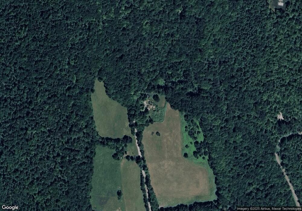
Map
Nearby Homes
- 594 Massachusetts 8a
- 442 Mcmillan Rd
- 1192 Chapel Hill Rd
- Lot 121 Davis Mine Rd
- 2173 Vermont 8a
- 14 South Rd
- 8 Deer Run Path
- 251 Phillips Hill Rd
- 1033 Burrington Hill Rd
- 829 Pennel Hill Rd
- 1587 Upper Holbrook Rd
- 843 Kentfield Rd
- 104 Karen Day Rd
- 292 Deer Hill Rd
- 127 County Rd
- 233 Poverty Row
- 0 W Oxbow Rd Unit 73453651
- 0 W Oxbow Rd Unit 248444
- 0 Potters Rd Unit 248445
- 0 Potters Rd Unit 73439831
- 0 Brunelle Rd
- 38 Brunelle Rd
- 37 Brunelle Rd
- 19 Sadoga Rd
- 28 Brunelle Rd
- 223 Route 8a N
- 17 Sadoga Rd
- 44 Sadoga Rd
- 12 Sadoga Rd
- 15 Brunelle Rd
- 478 Rte A
- 0 Sadoga Rd Unit 70479764
- 0 Sadoga Rd Unit 70069223
- 0 Sadoga Rd Unit 70591639
- 0 Sadoga Rd Unit 30437502
- 0 Sadoga Rd Unit 72489715
- 260 Route 8a N
- 0 Sadoga Rd
- 574 Route 8a
- 13 W Branch Rd
Your Personal Tour Guide
Ask me questions while you tour the home.