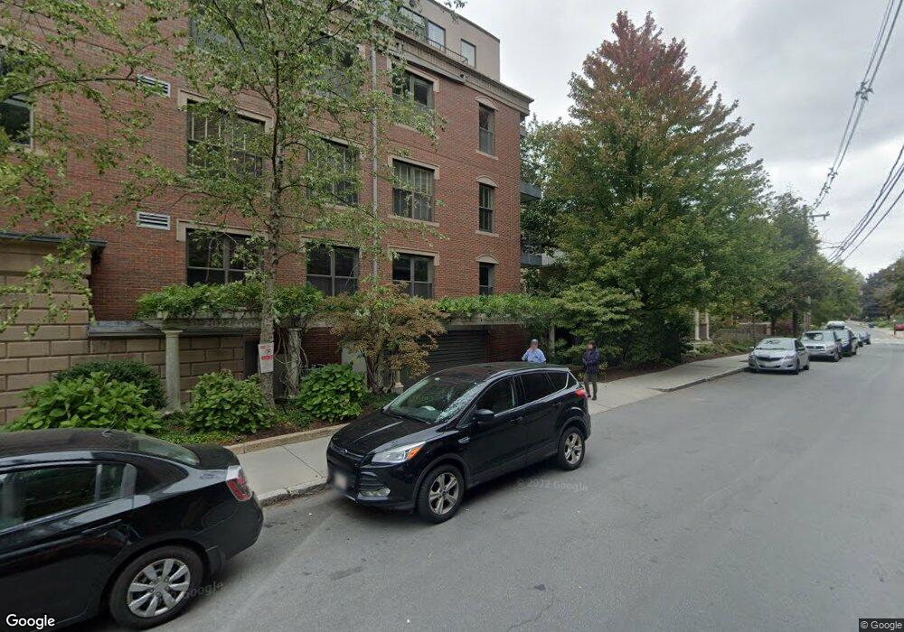
64 Sewall Ave Unit 302 Brookline, MA 02446
Coolidge Corner NeighborhoodEstimated Value: $2,169,000 - $2,458,000
2
Beds
3
Baths
2,236
Sq Ft
$1,022/Sq Ft
Est. Value
About This Home
This home is located at 64 Sewall Ave Unit 302, Brookline, MA 02446 and is currently estimated at $2,284,714, approximately $1,021 per square foot. 64 Sewall Ave Unit 302 is a home located in Norfolk County with nearby schools including Amos A. Lawrence School, Match Charter Public School, and St. Mary of the Assumption Elementary School.
Ownership History
Date
Name
Owned For
Owner Type
Purchase Details
Closed on
May 10, 2019
Sold by
Spivak Howard R and Schwartz Janet B
Bought by
Howard R Spivak 2005 Ret
Current Estimated Value
Purchase Details
Closed on
Nov 17, 2005
Sold by
Sa Rt
Bought by
Spivak Howard and Schwartz Janet
Home Financials for this Owner
Home Financials are based on the most recent Mortgage that was taken out on this home.
Original Mortgage
$625,000
Interest Rate
6.07%
Mortgage Type
Purchase Money Mortgage
Purchase Details
Closed on
Aug 17, 2004
Sold by
Charles Street Llc
Bought by
Sa Rt
Create a Home Valuation Report for This Property
The Home Valuation Report is an in-depth analysis detailing your home's value as well as a comparison with similar homes in the area
Home Values in the Area
Average Home Value in this Area
Purchase History
| Date | Buyer | Sale Price | Title Company |
|---|---|---|---|
| Howard R Spivak 2005 Ret | -- | -- | |
| Spivak Howard | $1,255,000 | -- | |
| Sa Rt | -- | -- |
Source: Public Records
Mortgage History
| Date | Status | Borrower | Loan Amount |
|---|---|---|---|
| Previous Owner | Spivak Howard | $625,000 | |
| Previous Owner | Spivak Howard | $125,000 |
Source: Public Records
Tax History Compared to Growth
Tax History
| Year | Tax Paid | Tax Assessment Tax Assessment Total Assessment is a certain percentage of the fair market value that is determined by local assessors to be the total taxable value of land and additions on the property. | Land | Improvement |
|---|---|---|---|---|
| 2025 | $20,817 | $2,109,100 | $0 | $2,109,100 |
| 2024 | $20,202 | $2,067,800 | $0 | $2,067,800 |
| 2023 | $19,592 | $1,965,100 | $0 | $1,965,100 |
| 2022 | $19,632 | $1,926,600 | $0 | $1,926,600 |
| 2021 | $18,694 | $1,907,600 | $0 | $1,907,600 |
| 2020 | $17,849 | $1,888,800 | $0 | $1,888,800 |
| 2019 | $16,856 | $1,798,900 | $0 | $1,798,900 |
| 2018 | $16,300 | $1,723,000 | $0 | $1,723,000 |
| 2017 | $15,762 | $1,595,300 | $0 | $1,595,300 |
| 2016 | $15,112 | $1,450,300 | $0 | $1,450,300 |
| 2015 | $14,082 | $1,318,500 | $0 | $1,318,500 |
| 2014 | $13,700 | $1,202,800 | $0 | $1,202,800 |
Source: Public Records
Map
Nearby Homes
- 50 Longwood Ave Unit 611
- 45 Longwood Ave Unit 812
- 45 Longwood Ave Unit PHA
- 60 Longwood Ave Unit 307
- 60 Longwood Ave Unit 403
- 30 Stearns Rd Unit 302
- 98 Saint Paul St Unit A1
- 17 James St Unit 1
- 15 James St Unit 2
- 14 Green St Unit PHA
- 14 Green St Unit PH1
- 63 Green St Unit 3
- 63 Green St Unit 2
- 51 John St Unit 201
- 79 Pleasant St Unit 4
- 65 Francis St Unit 65
- 65 Francis St
- 10 Bradford Terrace Unit 5
- 151 Longwood Ave Unit 1
- 58 Dwight St Unit 6
- 64 Sewall Ave Unit PHB
- 64 Sewall Ave Unit PHA
- 64 Sewall Ave Unit 301
- 64 Sewall Ave Unit 202
- 64 Sewall Ave Unit 201
- 64 Sewall Ave Unit 102
- 64 Sewall Ave Unit 101
- 1269 Beacon St Unit 3
- 1269 Beacon St Unit 1
- 1269 Beacon St
- 70 Sewall Ave Unit 2
- 70 Sewall Ave Unit 3
- 70 Sewall Ave Unit 7
- 70 Sewall Ave Unit 5
- 70 Sewall Ave Unit 4
- 70 Sewall Ave
- 70 Sewall Ave Unit 6
- 70 Sewall Ave Unit 1
- 1265 Beacon St Unit 301
- 1265 Beacon St Unit 1004