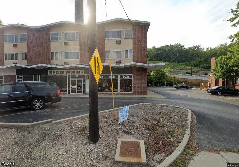
642 S Main St Algonquin, IL 60102
Estimated Value: $1,264,458
Studio
--
Bath
15,260
Sq Ft
$83/Sq Ft
Est. Value
About This Home
This home is located at 642 S Main St, Algonquin, IL 60102 and is currently estimated at $1,264,458, approximately $82 per square foot. 642 S Main St is a home located in McHenry County with nearby schools including Westfield Community School, Kenneth E Neubert Elementary School, and Harry D Jacobs High School.
Ownership History
Date
Name
Owned For
Owner Type
Purchase Details
Closed on
Feb 17, 1997
Sold by
Johnson George E and Johnson Mary L
Bought by
Graziano John P and Brenkus Susan F
Current Estimated Value
Home Financials for this Owner
Home Financials are based on the most recent Mortgage that was taken out on this home.
Original Mortgage
$405,000
Interest Rate
9.25%
Mortgage Type
Commercial
Purchase Details
Closed on
May 6, 1996
Sold by
Cosmopolitan Bank & Trust
Bought by
Johnson George E and Johnson Mary L
Home Financials for this Owner
Home Financials are based on the most recent Mortgage that was taken out on this home.
Original Mortgage
$290,695
Interest Rate
7.97%
Mortgage Type
Commercial
Create a Home Valuation Report for This Property
The Home Valuation Report is an in-depth analysis detailing your home's value as well as a comparison with similar homes in the area
Purchase History
| Date | Buyer | Sale Price | Title Company |
|---|---|---|---|
| Graziano John P | $540,000 | -- | |
| Johnson George E | $465,000 | Chicago Title |
Source: Public Records
Mortgage History
| Date | Status | Borrower | Loan Amount |
|---|---|---|---|
| Previous Owner | Graziano John P | $405,000 | |
| Previous Owner | Johnson George E | $290,695 |
Source: Public Records
Tax History
| Year | Tax Paid | Tax Assessment Tax Assessment Total Assessment is a certain percentage of the fair market value that is determined by local assessors to be the total taxable value of land and additions on the property. | Land | Improvement |
|---|---|---|---|---|
| 2024 | $26,206 | $335,000 | $64,454 | $270,546 |
| 2023 | $31,699 | $378,669 | $53,673 | $324,996 |
| 2022 | $29,309 | $341,759 | $48,441 | $293,318 |
| 2021 | $28,252 | $318,390 | $45,129 | $273,261 |
| 2020 | $27,577 | $307,118 | $43,531 | $263,587 |
| 2019 | $26,992 | $293,949 | $41,664 | $252,285 |
| 2018 | $25,883 | $271,547 | $38,489 | $233,058 |
| 2017 | $25,474 | $255,814 | $36,259 | $219,555 |
| 2016 | $25,231 | $239,931 | $34,008 | $205,923 |
| 2013 | -- | $223,825 | $31,725 | $192,100 |
Source: Public Records
Map
Nearby Homes
- 21 Division St
- 407 La Fox River Dr
- 108 La Fox Dr
- 0 River Dr N Unit MRD12473279
- 615 Harper Dr
- 1200 Hillside View
- Lot #3-5 Hayes Rd
- 600 E Algonquin Rd
- 719 Webster St
- 720 Ash St
- 953 Old Oak Cir
- 1188 E Algonquin Rd
- 0 Natoma Trail
- 313 Bayberry Dr
- 308 Rustic Ln
- SWC Talaga and Algonquin Rd
- lot 25 Wabican Trail
- 909 Roger St
- 1031 Timberwood Ln
- 1105 Spring Hill Dr
- 640 S Main St
- 640 S Main St
- 132 Division St
- 650 S Main St
- 127 Division St
- 126 Division St
- 609 S Main St
- 121 Division St
- 120 Division St Unit 3
- 115 Division St
- 114 Division St
- 721 S Main St
- 109 Division St
- 108 Division St
- 108 Center St
- 103 Division St
- 102 Division St
- 421 S Main St
- 604 La Fox River Dr
- 438 La Fox River Dr
Your Personal Tour Guide
Ask me questions while you tour the home.