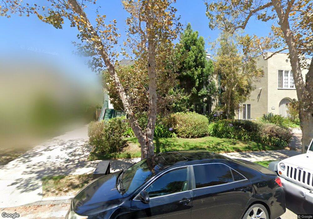
6427 W 6th St Unit 1 Los Angeles, CA 90048
Beverly Grove NeighborhoodEstimated Value: $1,874,000 - $2,871,098
3
Beds
2
Baths
2,050
Sq Ft
$1,152/Sq Ft
Est. Value
About This Home
This home is located at 6427 W 6th St Unit 1, Los Angeles, CA 90048 and is currently estimated at $2,360,775, approximately $1,151 per square foot. 6427 W 6th St Unit 1 is a home located in Los Angeles County with nearby schools including Hancock Park Elementary, John Burroughs Middle School, and Fairfax High School.
Ownership History
Date
Name
Owned For
Owner Type
Purchase Details
Closed on
Jan 22, 2021
Sold by
Galk Trust and Fraiman Genise
Bought by
Duplex Property Management Llc
Current Estimated Value
Purchase Details
Closed on
Apr 26, 2013
Sold by
The Florence B Wayne Limited Partnership
Bought by
Horizon Arash and Fraiman Genise N
Home Financials for this Owner
Home Financials are based on the most recent Mortgage that was taken out on this home.
Original Mortgage
$1,000,000
Interest Rate
3.41%
Mortgage Type
New Conventional
Purchase Details
Closed on
Dec 29, 1997
Sold by
Wayne Florence B
Bought by
Florence B Wayne Family Ltd Partnership
Purchase Details
Closed on
Dec 23, 1997
Sold by
Wayne Florence B
Bought by
Wayne Rosalie and Wayne Robert A
Purchase Details
Closed on
Dec 22, 1997
Sold by
Wayne Florence B Tr Wayne Trust
Bought by
Wayne Florence B
Create a Home Valuation Report for This Property
The Home Valuation Report is an in-depth analysis detailing your home's value as well as a comparison with similar homes in the area
Home Values in the Area
Average Home Value in this Area
Purchase History
| Date | Buyer | Sale Price | Title Company |
|---|---|---|---|
| Duplex Property Management Llc | -- | None Listed On Document | |
| Horizon Arash | $1,400,000 | Equity Title Los Angeles | |
| Florence B Wayne Family Ltd Partnership | -- | -- | |
| Wayne Rosalie | -- | -- | |
| Wayne Florence B | -- | -- |
Source: Public Records
Mortgage History
| Date | Status | Borrower | Loan Amount |
|---|---|---|---|
| Previous Owner | Horizon Arash | $1,000,000 |
Source: Public Records
Tax History Compared to Growth
Tax History
| Year | Tax Paid | Tax Assessment Tax Assessment Total Assessment is a certain percentage of the fair market value that is determined by local assessors to be the total taxable value of land and additions on the property. | Land | Improvement |
|---|---|---|---|---|
| 2025 | $20,762 | $1,723,989 | $935,880 | $788,109 |
| 2024 | $20,762 | $1,690,186 | $917,530 | $772,656 |
| 2023 | $20,363 | $1,657,046 | $899,540 | $757,506 |
| 2022 | $21,646 | $1,815,600 | $724,200 | $1,091,400 |
| 2021 | $19,171 | $1,592,702 | $864,610 | $728,092 |
| 2020 | $19,367 | $1,576,372 | $855,745 | $720,627 |
| 2019 | $18,597 | $1,545,464 | $838,966 | $706,498 |
| 2018 | $18,485 | $1,515,162 | $822,516 | $692,646 |
| 2016 | $17,664 | $1,456,328 | $790,578 | $665,750 |
| 2015 | $17,405 | $1,434,453 | $778,703 | $655,750 |
| 2014 | $17,463 | $1,406,355 | $763,450 | $642,905 |
Source: Public Records
Map
Nearby Homes
- 6420 Orange St
- 6402 Maryland Dr
- 6526 Lindenhurst Ave
- 6451 Maryland Dr
- 6531 Orange St
- 6360 Maryland Dr
- 6366 Orange St
- 6511 Maryland Dr
- 6347 Orange St
- 6336 Lindenhurst Ave
- 6607 Maryland Dr
- 6410 Drexel Ave
- 6638 Lindenhurst Ave
- 6300 Lindenhurst Ave
- 742 Schumacher Dr
- 6546 Colgate Ave
- 6509 Colgate Ave
- 6657 W 5th St
- 6206 Lindenhurst Ave
- 8206 W 4th St
- 6427 W 6th St
- 6421 W 6th St
- 6431 W 6th St
- 6419 W 6th St
- 6417 W 6th St
- 6435 W 6th St
- 6426 Lindenhurst Ave
- 6420 Lindenhurst Ave
- 6432 Lindenhurst Ave
- 6413 W 6th St
- 6411 W 6th St
- 6441 W 6th St
- 6443 W 6th St
- 6416 Lindenhurst Ave
- 6436 Lindenhurst Ave
- 6428 W 6th St
- 6426 W 6th St
- 6428 W 6 St
- 6409 6th St
- 6430 W 6th St