6427 Wilson Ln Central Point, OR 97502
Estimated Value: $203,000 - $324,000
2
Beds
1
Bath
932
Sq Ft
$288/Sq Ft
Est. Value
About This Home
This home is located at 6427 Wilson Ln, Central Point, OR 97502 and is currently estimated at $268,131, approximately $287 per square foot. 6427 Wilson Ln is a home located in Jackson County with nearby schools including Jewett Elementary School, Scenic Middle School, and Crater High School.
Ownership History
Date
Name
Owned For
Owner Type
Purchase Details
Closed on
Feb 10, 2022
Sold by
Kakalow Arthur M
Bought by
Kakalow Family Trust
Current Estimated Value
Purchase Details
Closed on
Oct 22, 2010
Sold by
Advocate & Consultant For Elders Llc
Bought by
Kakalow Arthur M and Kakalow Jacqueline L
Purchase Details
Closed on
Sep 2, 2010
Sold by
Bruch Clare Anne
Bought by
Waites Beverly C
Create a Home Valuation Report for This Property
The Home Valuation Report is an in-depth analysis detailing your home's value as well as a comparison with similar homes in the area
Purchase History
| Date | Buyer | Sale Price | Title Company |
|---|---|---|---|
| Kakalow Family Trust | -- | None Listed On Document | |
| Kakalow Arthur M | $55,000 | First American Title | |
| Waites Beverly C | -- | None Available |
Source: Public Records
Tax History
| Year | Tax Paid | Tax Assessment Tax Assessment Total Assessment is a certain percentage of the fair market value that is determined by local assessors to be the total taxable value of land and additions on the property. | Land | Improvement |
|---|---|---|---|---|
| 2026 | $1,457 | $122,300 | -- | -- |
| 2025 | $1,424 | $118,740 | $78,220 | $40,520 |
| 2024 | $1,424 | $115,290 | $56,830 | $58,460 |
| 2023 | $1,376 | $111,940 | $55,180 | $56,760 |
| 2022 | $1,347 | $111,940 | $55,180 | $56,760 |
| 2021 | $1,309 | $108,680 | $53,580 | $55,100 |
| 2020 | $1,271 | $105,520 | $52,020 | $53,500 |
| 2019 | $1,242 | $99,470 | $49,030 | $50,440 |
| 2018 | $1,203 | $96,580 | $47,600 | $48,980 |
| 2017 | $1,175 | $96,580 | $47,600 | $48,980 |
| 2016 | $1,140 | $91,040 | $44,870 | $46,170 |
| 2015 | $1,099 | $91,040 | $44,870 | $46,170 |
| 2014 | $1,072 | $85,820 | $42,300 | $43,520 |
Source: Public Records
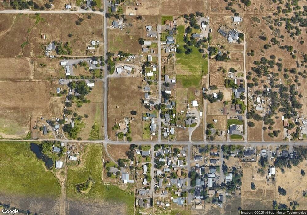
Map
Nearby Homes
- 6850 Downing Rd Unit 65
- 594 W Gregory Rd
- 5030 Del Mar Dr
- 335 Applewood Dr
- 1653 Kentucky Ct
- 1855 Nancy Ave
- 1860 Cottonwood Dr
- 1409 Twin Rocks Dr
- 225 Wilson Rd
- 356 Marian Ave Unit 40
- 0 Peninger Rd
- 366 Marian Ave Unit 39
- 4922 Gebhard Rd
- 4626 N Pacific Hwy
- 1242 Hawk Dr
- 348 Cascade Dr
- 833 Hazel St
- 4726 Gebhard Rd
- 4722 Gebhard Rd
- 1121 Annalise St
- 6445 Wilson Ln
- 6411 Wilson Ln
- 6428 Wilson Ln
- 6461 Wilson Ln
- 6412 Wilson Ln
- 6391 Wilson Ln
- 6485 Wilson Ln
- 1644 Gibbon Rd
- 6482 Wilson Ln
- 1722 Gibbon Rd
- 1602 Gibbon Rd
- 6424 Truax Rd
- 1641 Gibbon Rd Unit B
- 1615 Gibbon Rd
- 6240 Wilson Ln
- 6528 Wilson Ln
- 6175 Wilson Ln
- 6543 Wilson Ln
- 6245 Thistle Ln
- 1560 Gibbon Rd
Your Personal Tour Guide
Ask me questions while you tour the home.