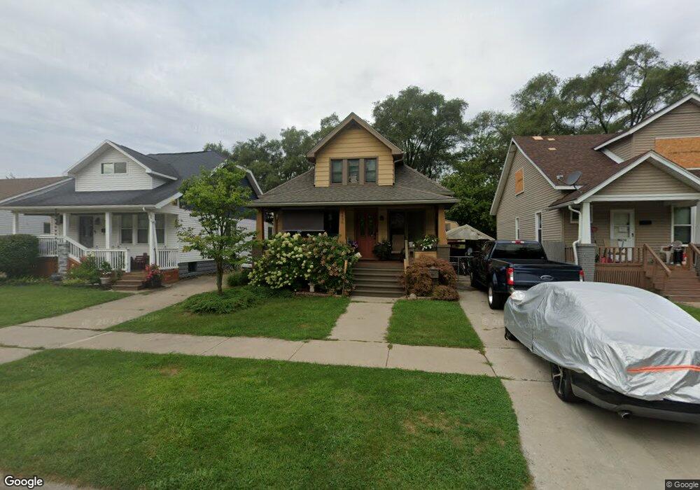
6438 Westpoint St Taylor, MI 48180
Estimated Value: $161,673 - $211,000
3
Beds
1
Bath
873
Sq Ft
$219/Sq Ft
Est. Value
About This Home
This home is located at 6438 Westpoint St, Taylor, MI 48180 and is currently estimated at $191,418, approximately $219 per square foot. 6438 Westpoint St is a home located in Wayne County with nearby schools including Clarence Randall Elementary School, Hoover Middle School, and Quest Charter Academy.
Ownership History
Date
Name
Owned For
Owner Type
Purchase Details
Closed on
Jul 16, 2009
Sold by
Donovan Shaun and Secretary Of Housing & Urban D
Bought by
Rosado Antonio
Current Estimated Value
Purchase Details
Closed on
Sep 7, 2007
Sold by
Wells Fargo Bank Na
Bought by
Hud
Purchase Details
Closed on
Mar 7, 2007
Sold by
Smith Mary Lou
Bought by
Wells Fargo Bank Na
Purchase Details
Closed on
Oct 29, 1997
Sold by
Boar Catherine and Boar James J
Bought by
Smith Mary L
Create a Home Valuation Report for This Property
The Home Valuation Report is an in-depth analysis detailing your home's value as well as a comparison with similar homes in the area
Home Values in the Area
Average Home Value in this Area
Purchase History
| Date | Buyer | Sale Price | Title Company |
|---|---|---|---|
| Rosado Antonio | $19,501 | None Available | |
| Hud | -- | None Available | |
| Wells Fargo Bank Na | $62,803 | None Available | |
| Smith Mary L | $61,500 | -- |
Source: Public Records
Tax History
| Year | Tax Paid | Tax Assessment Tax Assessment Total Assessment is a certain percentage of the fair market value that is determined by local assessors to be the total taxable value of land and additions on the property. | Land | Improvement |
|---|---|---|---|---|
| 2025 | $1,511 | $65,700 | $0 | $0 |
| 2024 | $1,464 | $59,200 | $0 | $0 |
| 2023 | $1,750 | $56,200 | $0 | $0 |
| 2022 | $1,397 | $53,900 | $0 | $0 |
| 2021 | $1,539 | $48,000 | $0 | $0 |
| 2020 | $1,524 | $39,400 | $0 | $0 |
| 2019 | $152,335 | $36,200 | $0 | $0 |
| 2018 | $1,199 | $34,100 | $0 | $0 |
| 2017 | $2,888 | $30,500 | $0 | $0 |
| 2016 | $1,486 | $29,900 | $0 | $0 |
| 2015 | $2,710 | $27,100 | $0 | $0 |
| 2013 | $2,710 | $28,300 | $0 | $0 |
| 2012 | $1,202 | $27,700 | $4,200 | $23,500 |
Source: Public Records
Map
Nearby Homes
- 6446 Westpoint St
- 6430 Westpoint St
- 6454 Westpoint St
- 6462 Westpoint St
- 6470 Westpoint St
- 6437 Westpoint St
- 6447 Westpoint St
- 6453 Westpoint St
- 6478 Westpoint St
- 6461 Westpoint St
- 6429 Westpoint St
- 6469 Westpoint St
- 6486 Westpoint St
- 6477 Westpoint St
- 6430 Cornell St
- 6506 Westpoint St
- 6485 Westpoint St
- 6512 Westpoint St
- 6505 Westpoint St
- 6522 Westpoint St
Your Personal Tour Guide
Ask me questions while you tour the home.