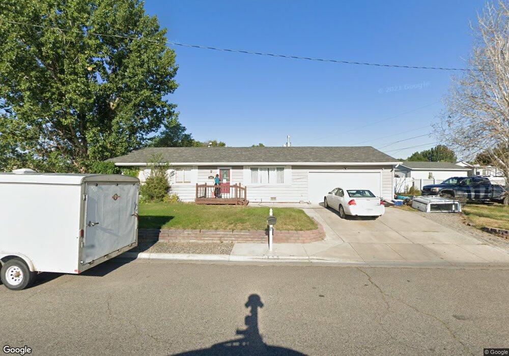
644 S 29th St W Billings, MT 59102
West End NeighborhoodEstimated Value: $308,000 - $333,000
3
Beds
2
Baths
1,232
Sq Ft
$264/Sq Ft
Est. Value
About This Home
This home is located at 644 S 29th St W, Billings, MT 59102 and is currently estimated at $325,083, approximately $263 per square foot. 644 S 29th St W is a home located in Yellowstone County with nearby schools including Big Sky Elementary School, Ben Steele Middle School, and Billings West High School.
Ownership History
Date
Name
Owned For
Owner Type
Purchase Details
Closed on
Apr 2, 2012
Sold by
Jellison Judy and Jellison Fred
Bought by
Buckingham Wallace E and Buckingham Kay W
Current Estimated Value
Home Financials for this Owner
Home Financials are based on the most recent Mortgage that was taken out on this home.
Original Mortgage
$146,128
Interest Rate
3.83%
Mortgage Type
Seller Take Back
Purchase Details
Closed on
Jun 13, 2011
Sold by
Brook Michael A
Bought by
Jellison Fred and Jellison Judy
Purchase Details
Closed on
Jul 21, 2006
Sold by
Morton Denise R
Bought by
Brook Michael A
Home Financials for this Owner
Home Financials are based on the most recent Mortgage that was taken out on this home.
Original Mortgage
$132,905
Interest Rate
6.57%
Mortgage Type
New Conventional
Create a Home Valuation Report for This Property
The Home Valuation Report is an in-depth analysis detailing your home's value as well as a comparison with similar homes in the area
Home Values in the Area
Average Home Value in this Area
Purchase History
| Date | Buyer | Sale Price | Title Company |
|---|---|---|---|
| Buckingham Wallace E | -- | Chicago Title | |
| Jellison Fred | -- | None Available | |
| Brook Michael A | -- | None Available |
Source: Public Records
Mortgage History
| Date | Status | Borrower | Loan Amount |
|---|---|---|---|
| Closed | Buckingham Wallace E | $146,128 | |
| Previous Owner | Brook Michael A | $132,905 |
Source: Public Records
Tax History Compared to Growth
Tax History
| Year | Tax Paid | Tax Assessment Tax Assessment Total Assessment is a certain percentage of the fair market value that is determined by local assessors to be the total taxable value of land and additions on the property. | Land | Improvement |
|---|---|---|---|---|
| 2025 | $2,767 | $315,300 | $61,189 | $254,111 |
| 2024 | $2,767 | $280,300 | $51,644 | $228,656 |
| 2023 | $2,782 | $280,300 | $51,644 | $228,656 |
| 2022 | $1,891 | $200,300 | $0 | $0 |
| 2021 | $2,182 | $200,300 | $0 | $0 |
| 2020 | $2,216 | $195,900 | $0 | $0 |
| 2019 | $2,117 | $195,900 | $0 | $0 |
| 2018 | $2,055 | $186,600 | $0 | $0 |
| 2017 | $1,727 | $186,600 | $0 | $0 |
| 2016 | $1,886 | $178,400 | $0 | $0 |
| 2015 | $1,844 | $178,400 | $0 | $0 |
| 2014 | $1,669 | $85,330 | $0 | $0 |
Source: Public Records
Map
Nearby Homes
- 44 Vista Dr
- 46 Vista Dr
- 43 Roundup Dr
- 2916 Monad Rd
- 1 Bonanza Dr
- 14 Bonanza Dr
- 3254 Granger Ave E Unit F6
- 3254 Granger Ave E Unit K-1
- 362 Phyllis Cir E
- 7 W Meadows
- 4 W Meadow Dr
- 3295 Granger Ave E Unit 6
- 14 W Meadow Dr
- 28 Gatewood Dr
- 2950 Daystar Dr
- 31 Wheatland Dr
- 8 Brookpark Dr
- 33 Wheatland Dr
- 3121 New Hope Dr Unit 9
- 3121 New Hope Dr
- 2915 Rosebud Dr
- 2906 Myrtle Dr
- 2916 Myrtle Dr
- 701 S 29th St W
- 2923 Rosebud Dr
- 2924 Myrtle Dr
- 2920 Rosebud Dr
- 2931 Rosebud Dr
- 2915 Myrtle Dr
- 2932 Myrtle Dr
- 2923 Myrtle Dr
- 2907 Myrtle Dr
- 2928 Rosebud Dr
- 2931 Myrtle Dr
- 2939 Rosebud Dr
- 2940 Myrtle Dr
- 2927 Henesta Dr
- 2939 Myrtle Dr
- 2936 Rosebud Dr
- 2916 Stillwater Dr