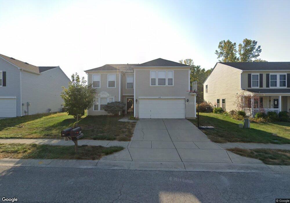
6443 Eastern Range Rd Indianapolis, IN 46234
Estimated Value: $334,000 - $369,000
4
Beds
3
Baths
3,280
Sq Ft
$106/Sq Ft
Est. Value
About This Home
This home is located at 6443 Eastern Range Rd, Indianapolis, IN 46234 and is currently estimated at $347,860, approximately $106 per square foot. 6443 Eastern Range Rd is a home located in Hendricks County with nearby schools including White Lick Elementary School, Brownsburg West Middle School, and Brownsburg High School.
Ownership History
Date
Name
Owned For
Owner Type
Purchase Details
Closed on
Oct 16, 2024
Sold by
Rhodes Melvin K
Bought by
Rhodes Melvin K and Rhodes Cherry M
Current Estimated Value
Purchase Details
Closed on
Feb 8, 2005
Sold by
Rhodes Cherry M
Bought by
Rhodes Melvin K
Purchase Details
Closed on
Nov 11, 2003
Sold by
Rhodes Melvin K
Bought by
Rhodes Melvin K and Rhodes Cherry M
Home Financials for this Owner
Home Financials are based on the most recent Mortgage that was taken out on this home.
Original Mortgage
$166,794
Interest Rate
5.81%
Mortgage Type
FHA
Create a Home Valuation Report for This Property
The Home Valuation Report is an in-depth analysis detailing your home's value as well as a comparison with similar homes in the area
Home Values in the Area
Average Home Value in this Area
Purchase History
| Date | Buyer | Sale Price | Title Company |
|---|---|---|---|
| Rhodes Melvin K | -- | None Listed On Document | |
| Rhodes Melvin K | -- | None Available | |
| Rhodes Melvin K | -- | -- | |
| Rhodes Melvin K | -- | -- |
Source: Public Records
Mortgage History
| Date | Status | Borrower | Loan Amount |
|---|---|---|---|
| Previous Owner | Rhodes Melvin K | $166,794 |
Source: Public Records
Tax History
| Year | Tax Paid | Tax Assessment Tax Assessment Total Assessment is a certain percentage of the fair market value that is determined by local assessors to be the total taxable value of land and additions on the property. | Land | Improvement |
|---|---|---|---|---|
| 2025 | $3,098 | $314,700 | $42,900 | $271,800 |
| 2024 | $3,098 | $309,800 | $42,900 | $266,900 |
| 2023 | $2,869 | $286,900 | $38,600 | $248,300 |
| 2022 | $2,711 | $271,100 | $35,800 | $235,300 |
| 2021 | $2,181 | $219,300 | $33,700 | $185,600 |
| 2020 | $1,972 | $197,200 | $33,700 | $163,500 |
| 2019 | $1,878 | $190,700 | $32,100 | $158,600 |
| 2018 | $1,703 | $180,100 | $32,100 | $148,000 |
| 2017 | $1,606 | $170,800 | $30,300 | $140,500 |
| 2016 | $1,542 | $166,300 | $30,300 | $136,000 |
| 2014 | $1,430 | $154,200 | $28,900 | $125,300 |
Source: Public Records
Map
Nearby Homes
- 10275 Memorial Knoll Dr
- 10105 Yosemite Ln
- 6541 Westland Dr
- 10436 Kings Gap Way
- 10056 Clear Creek Cir
- 10326 Haag Dr
- 10358 River Park Way
- 10311 Gateway Dr
- 6612 School Branch Dr
- 6761 Branches Dr
- 6433 Lakeland Blvd
- 10308 Legacy Dr
- 5767 Scotland St
- 5920 Independence Ave
- 5573 Newport Ave
- 1409 Berry Lake Way
- 853 Settlers Walk
- 1432 Hession Dr
- 6929 Hornbeam Cir
- 10616 E County Road 600 N
- 6451 Eastern Range Rd
- 6431 Eastern Range Rd
- 6419 Eastern Range Rd
- 6459 Eastern Range Rd
- 0 Eastern Range Rd
- 6450 Eastern Range Rd
- 6440 Eastern Range Rd
- 6409 Eastern Range Rd
- 6460 Eastern Range Rd
- 6430 Eastern Range Rd
- 6465 Eastern Range Rd
- 6420 Eastern Range Rd
- 6470 Eastern Range Rd
- 6471 Eastern Range Rd
- 6401 Eastern Range Rd
- 6410 Eastern Range Rd
- 6481 Eastern Range Rd
- 6395 Eastern Range Rd
- 6400 Eastern Range Rd
- 6493 Eastern Range Rd
Your Personal Tour Guide
Ask me questions while you tour the home.