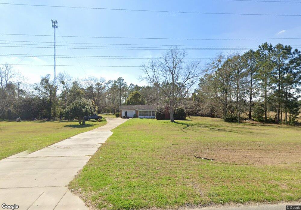
6446 Ga Highway 133 S Moultrie, GA 31788
Estimated Value: $112,000 - $171,000
--
Bed
1
Bath
1,247
Sq Ft
$107/Sq Ft
Est. Value
About This Home
This home is located at 6446 Ga Highway 133 S, Moultrie, GA 31788 and is currently estimated at $133,354, approximately $106 per square foot. 6446 Ga Highway 133 S is a home located in Colquitt County with nearby schools including Odom Elementary School, Willie J. Williams Middle School, and C.A. Gray Junior High School.
Ownership History
Date
Name
Owned For
Owner Type
Purchase Details
Closed on
Feb 25, 2022
Sold by
Linton Jimmy H
Bought by
Linton Thomas B
Current Estimated Value
Purchase Details
Closed on
Dec 4, 2020
Sold by
Linton Jimmy H
Bought by
Linton Jimmy H and Linton Gracie
Purchase Details
Closed on
Oct 1, 2010
Sold by
Federal National Mortgage Association
Bought by
Linton Jimmy H and Linton Gracie
Purchase Details
Closed on
Aug 3, 2010
Sold by
Bank Of America Na
Bought by
Federal National Mortgage Association
Purchase Details
Closed on
Apr 19, 1996
Bought by
Haley Eugene R
Purchase Details
Closed on
Aug 5, 1994
Bought by
Croft Sallie
Create a Home Valuation Report for This Property
The Home Valuation Report is an in-depth analysis detailing your home's value as well as a comparison with similar homes in the area
Home Values in the Area
Average Home Value in this Area
Purchase History
| Date | Buyer | Sale Price | Title Company |
|---|---|---|---|
| Linton Thomas B | $59,655 | -- | |
| Linton Jimmy H | -- | -- | |
| Linton Jimmy H | $28,000 | -- | |
| Federal National Mortgage Association | $45,018 | -- | |
| Bank Of America Na | $45,018 | -- | |
| Haley Eugene R | $44,000 | -- | |
| Croft Sallie | -- | -- |
Source: Public Records
Tax History Compared to Growth
Tax History
| Year | Tax Paid | Tax Assessment Tax Assessment Total Assessment is a certain percentage of the fair market value that is determined by local assessors to be the total taxable value of land and additions on the property. | Land | Improvement |
|---|---|---|---|---|
| 2024 | $910 | $38,997 | $2,767 | $36,230 |
| 2023 | $822 | $31,765 | $2,767 | $28,998 |
| 2022 | $655 | $27,513 | $2,460 | $25,053 |
| 2021 | $579 | $23,862 | $2,460 | $21,402 |
| 2020 | $552 | $22,344 | $2,460 | $19,884 |
| 2019 | $586 | $21,332 | $2,460 | $18,872 |
| 2018 | $546 | $21,332 | $2,460 | $18,872 |
| 2017 | $618 | $22,722 | $3,850 | $18,872 |
| 2016 | $627 | $22,722 | $3,850 | $18,872 |
| 2015 | $632 | $22,722 | $3,850 | $18,872 |
| 2014 | -- | $22,722 | $3,850 | $18,872 |
| 2013 | -- | $22,690 | $3,850 | $18,839 |
Source: Public Records
Map
Nearby Homes
- 0 Southerland Ave
- 410 Railroad St
- 313 Langford St
- 5808 Georgia 133
- 8774 Antioch Rd
- 0 Burton Rd Unit 23760976
- 0 Burton Rd Unit 23669194
- 1114 Cannon Rd
- 277 Indian Creek Subdivision
- 0 Upper Trail Unit 913421
- 0 Upper Trail Unit 913422
- 2262 Sardis Church Rd
- 9283 Tallokas Rd Unit 54/13
- 9283 Tallokas Rd
- 421 Best Cir
- 5940 Georgia 37
- 182 Horseshoe Dr
- 916 Robinson Rd
- 693 Old Quitman Annex Rd
- 289 Arthur Newbern Rd
- 498 Southerland Ave
- 468 Southerland Ave
- 6519 Ga Highway 133 S
- 358 Southerland Ave
- 6603 Ga Highway 133 S
- 338 Southerland Ave
- 6258 Ga Highway 133 S
- 128 Ingram St
- 393 Railroad St
- 910 Brice St
- 139 Sawmill Road Berlin
- 6192 Ga Highway 133 S
- 396 Peachtree Rd
- 524 Brice St
- 373 Railroad St
- 502 Brice St
- 359 Railroad St
- 253 Southerland Ave
- 422 Peachtree Rd
- 444 Peachtree Rd